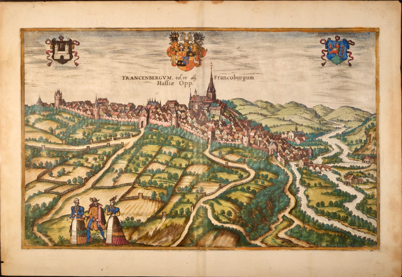
 Image 1 of 7
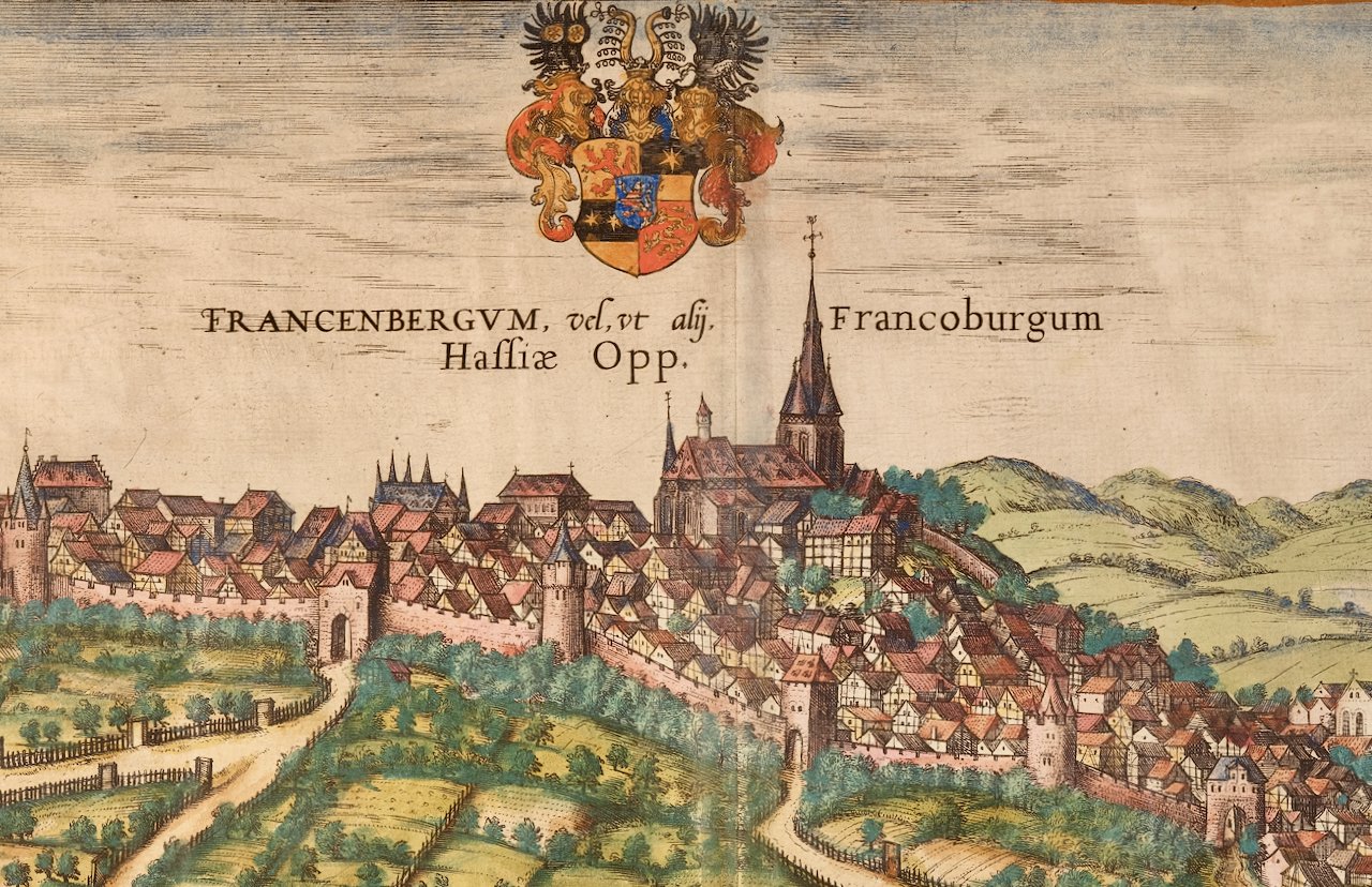
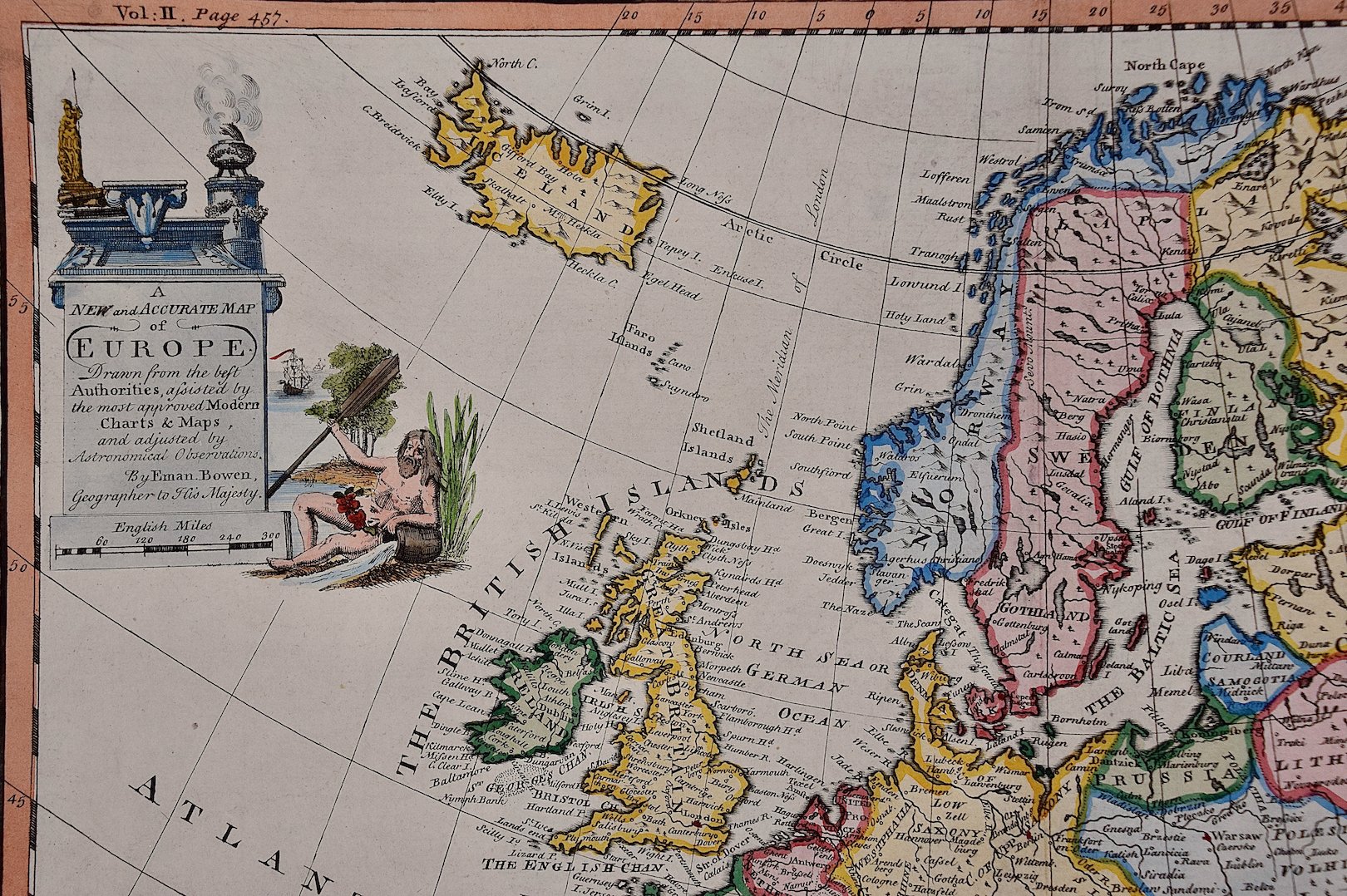 Image 2 of 7
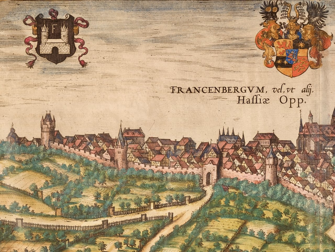
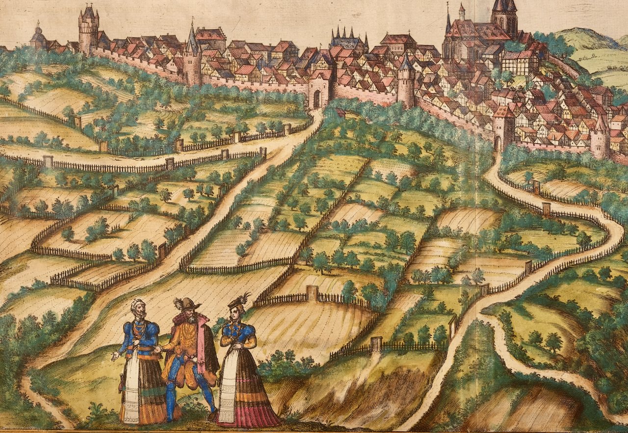
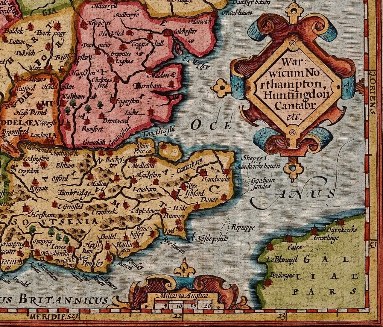
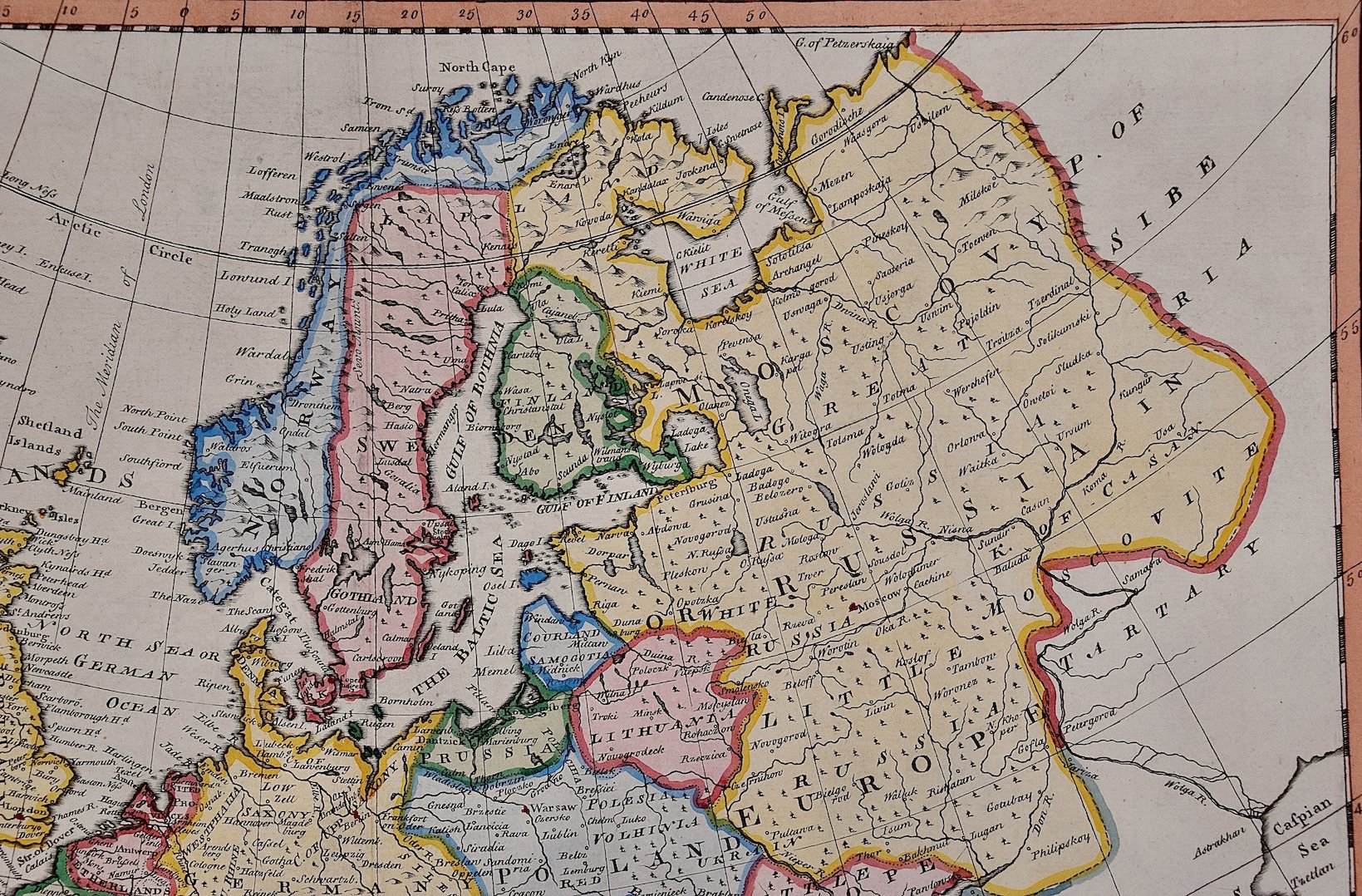 Image 3 of 7
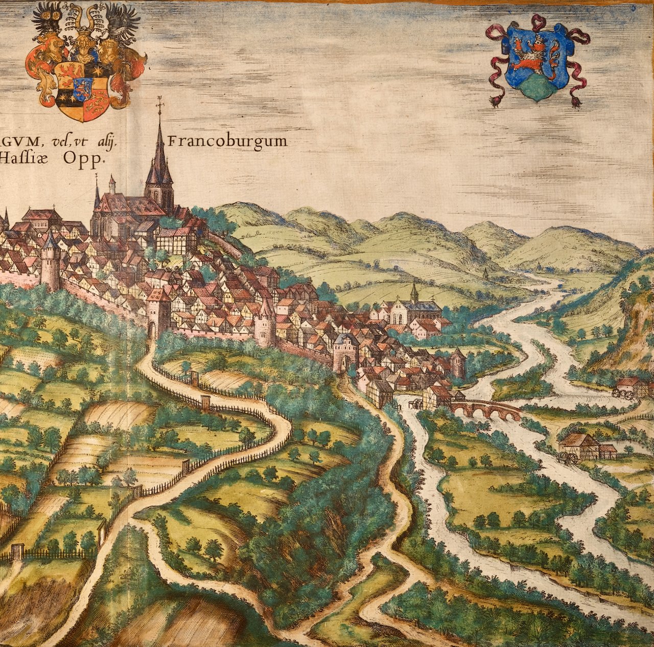
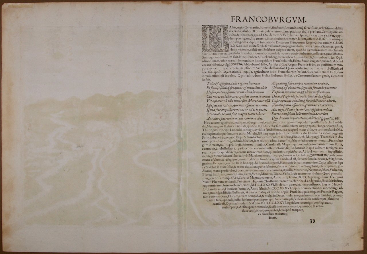
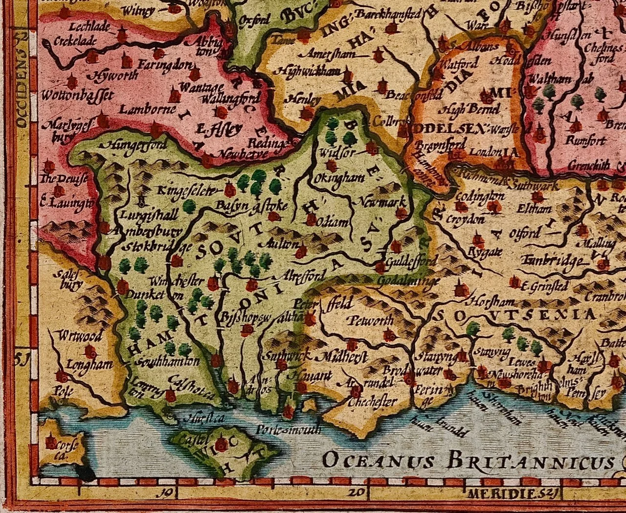
 Image 4 of 7
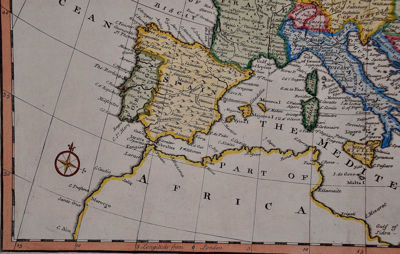 Image 5 of 7
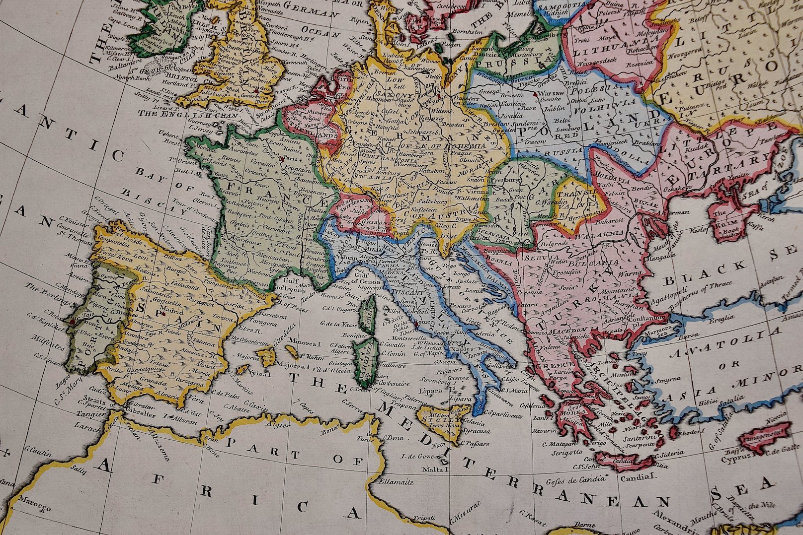 Image 6 of 7
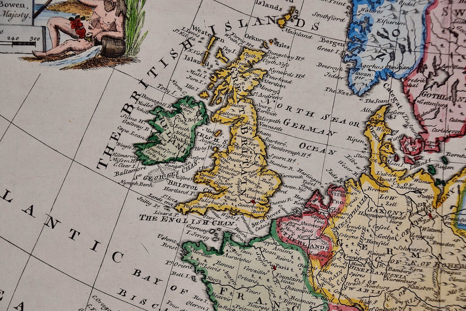 Image 7 of 7
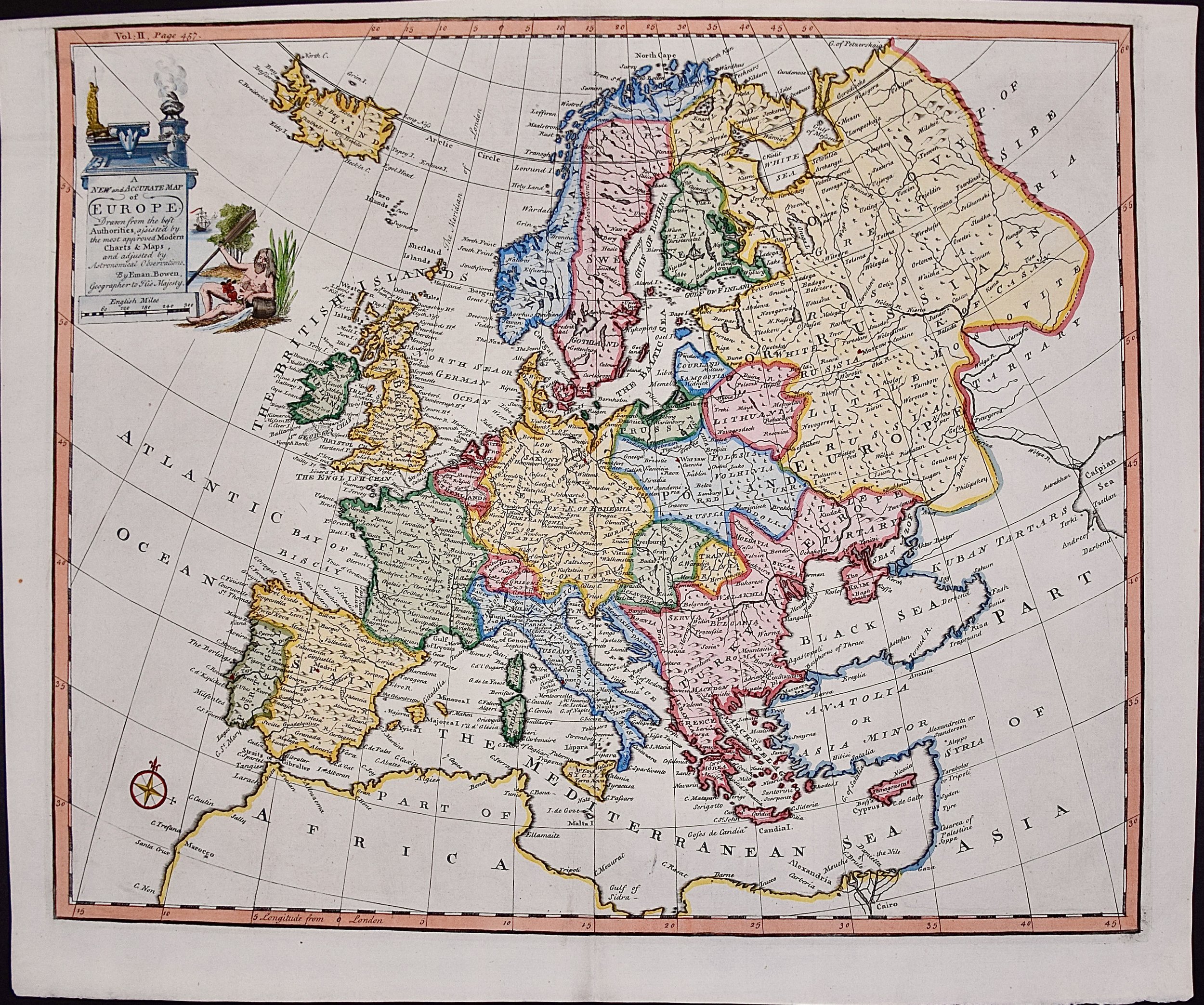
The map is embellished with a Compass Rose in the lower left and a decorative title cartouche in the upper left.
This striking and beautifully hand-colored original 18th century map is printed on laid chain-linked paper and it is watermarked with a Fleur-de-Lys. The sheet measures 15.75" high and 19" wide. There is a central fold, as issued. The upper margin is somewhat thin compared with the other wide margins. There is a small chip at the upper edge and minimal irregularity of the lower edge on the right. The map is otherwise in very good to excellent condition.
Emanuel Bowen (1694-1767) was a prominent British engraver and cartographer. He was born in Wales and worked in London as a mapmaker and engraver for much of his career. Bowen was honored as a fellow of the Royal Society and as the Royal Mapmaker to both to King George II of England and Louis XV of France. Based in London, Bowen was highly regarded for producing some of the largest, most detailed, most accurate and most attractive maps of his era. He is known to have worked with some of the most prominent cartographic names of the period including Herman Moll, John Owen, and Thomas Kitchin. Bowen was known for his skill in combining information from various sources to create comprehensive and useful maps. Bowen produced a wide range of maps, including maps of the British Isles, Europe, North America, Africa, and Asia. He also created maps for several important atlases, including the "Complete Atlas" (1752) and "A Complete System of Geography" (1747). Despite his renown and success, Bowen, like many cartographers, died in poverty. Upon Emanuel Bowen's death, his cartographic work was taken over by his son, Thomas Bowen who also died in poverty. Bowen's legacy as one of the most influential cartographers of the 18th century lives on through his many important maps and atlases.