
 Image 1 of 14
 Image 2 of 14
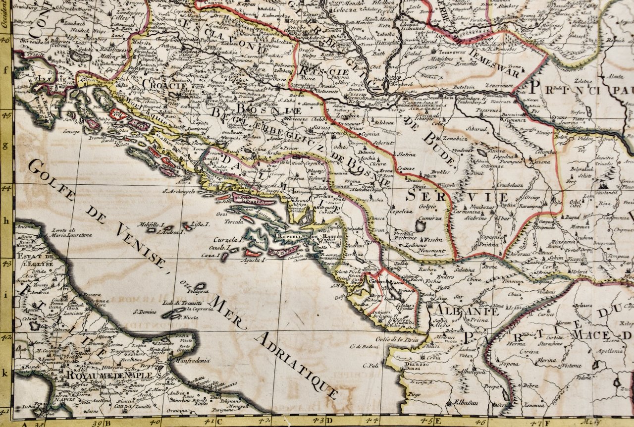 Image 3 of 14
 Image 4 of 14
 Image 5 of 14
 Image 6 of 14
 Image 7 of 14
 Image 8 of 14
 Image 9 of 14
 Image 10 of 14
 Image 11 of 14
 Image 12 of 14
 Image 13 of 14
 Image 14 of 14
An ornate title cartouche in the left upper corner consists of 2 putti holding a royal crest, horses and two m mythical half men, half animal figures. A scale cartouche on the right is flanked by sword wielding warriors.
The map also includes a separate page from the original atlas which includes an alphabetical table of cities and villages within Hungary, along with another page showing the divisions of the Kingdom and the states of Hungary. It is very rare for these additional pages to be included with one of these maps.
The map consists of two sheets joined as one along a vertical joint. The map has original hand-coloring. It is printed on antique hand-made laid, chain-linked paper with wide margins. The sheet measures 24.88" high and 38" wide. There is a central vertical joint, as issued. There is mild color offset from the opposite side of the map resulting from having been in the atlas for hundreds of years. There is minimal discoloration in the margins, but the map is otherwise in very good condition.
Nicholas Sanson d'Abbeville (1600-1667) was one of the greatest French cartographather of French cartography. Sanson opened his first printing business in Paris in 1638. The king recognized his skill and knowledge and made him the official geographer to the court. He eventually served two kings in this capacity. Sanson was succeeded by his sons, including Guillaume Sanson (1633-1703), and son-in-law in the business and as geographers to the king. Sanson's plates were eventually purchased by the prominent Parisian cartographer Alexis Hubert Jaillot (1632-1712), who continued to publish his maps and atlases with a dual Sanson and Jaillot attribution. Jaillot went on to serve King Louis XIV.