Skip to Content
Timeless Intaglio: Rare Prints, Maps & Books
Shop
All Listings
Antiquarian Prints
Antiquarian Maps
Antiquarian Books
Artists
Our Story
Previews
Contact
Login Account
0
0
Search
Timeless Intaglio: Rare Prints, Maps & Books
Shop
All Listings
Antiquarian Prints
Antiquarian Maps
Antiquarian Books
Artists
Our Story
Previews
Contact
Login Account
0
0
Search
Folder: Shop
Back
All Listings
Antiquarian Prints
Antiquarian Maps
Antiquarian Books
Artists
Our Story
Previews
Contact
Login Account
Search
Shop Naples and S. Italy: A Large 17th C. Hand-colored Map by Sanson and Jaillot
4766 Sanson & Jaillot, Le Royaume de Naples divisée en douze provinces.jpeg Image 1 of 5
4766 Sanson & Jaillot, Le Royaume de Naples divisée en douze provinces.jpeg
4766A Sanson & Jaillot, Le Royaume de Naples divisée en douze provinces.jpeg Image 2 of 5
4766A Sanson & Jaillot, Le Royaume de Naples divisée en douze provinces.jpeg
4766B Sanson & Jaillot, Le Royaume de Naples divisée en douze provinces.jpeg Image 3 of 5
4766B Sanson & Jaillot, Le Royaume de Naples divisée en douze provinces.jpeg
4766C Sanson & Jaillot, Le Royaume de Naples divisée en douze provinces.jpeg Image 4 of 5
4766C Sanson & Jaillot, Le Royaume de Naples divisée en douze provinces.jpeg
4766D Sanson & Jaillot, Le Royaume de Naples divisée en douze provinces.jpeg Image 5 of 5
4766D Sanson & Jaillot, Le Royaume de Naples divisée en douze provinces.jpeg
4766 Sanson & Jaillot, Le Royaume de Naples divisée en douze provinces.jpeg
4766A Sanson & Jaillot, Le Royaume de Naples divisée en douze provinces.jpeg
4766B Sanson & Jaillot, Le Royaume de Naples divisée en douze provinces.jpeg
4766C Sanson & Jaillot, Le Royaume de Naples divisée en douze provinces.jpeg
4766D Sanson & Jaillot, Le Royaume de Naples divisée en douze provinces.jpeg

Naples and S. Italy: A Large 17th C. Hand-colored Map by Sanson and Jaillot

$1,275.00

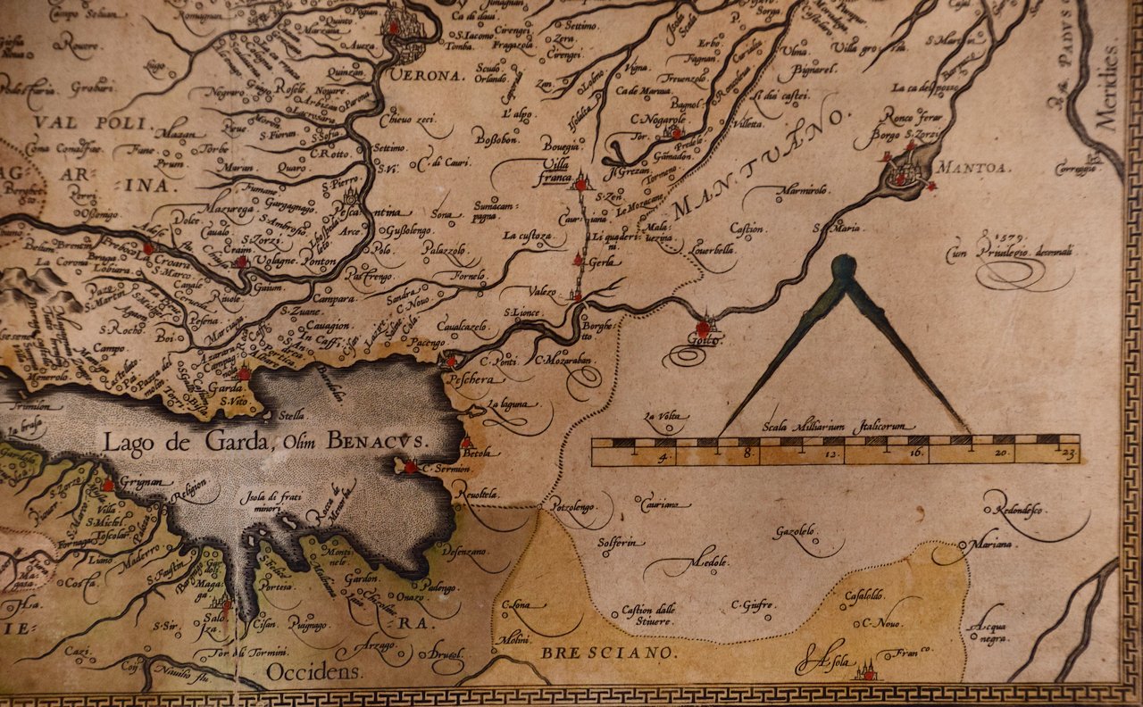
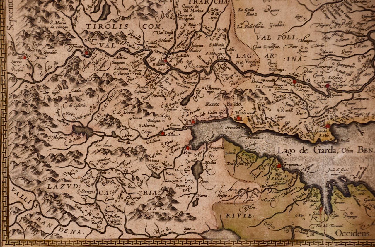
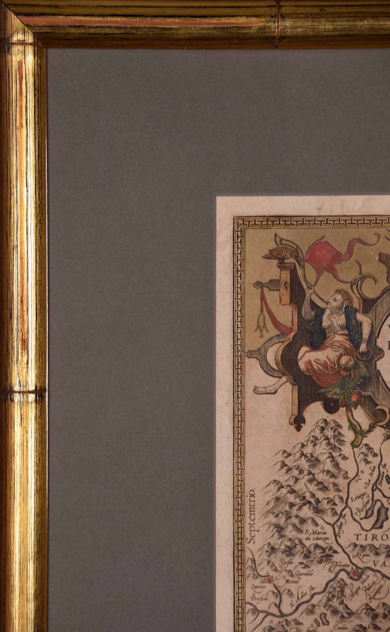
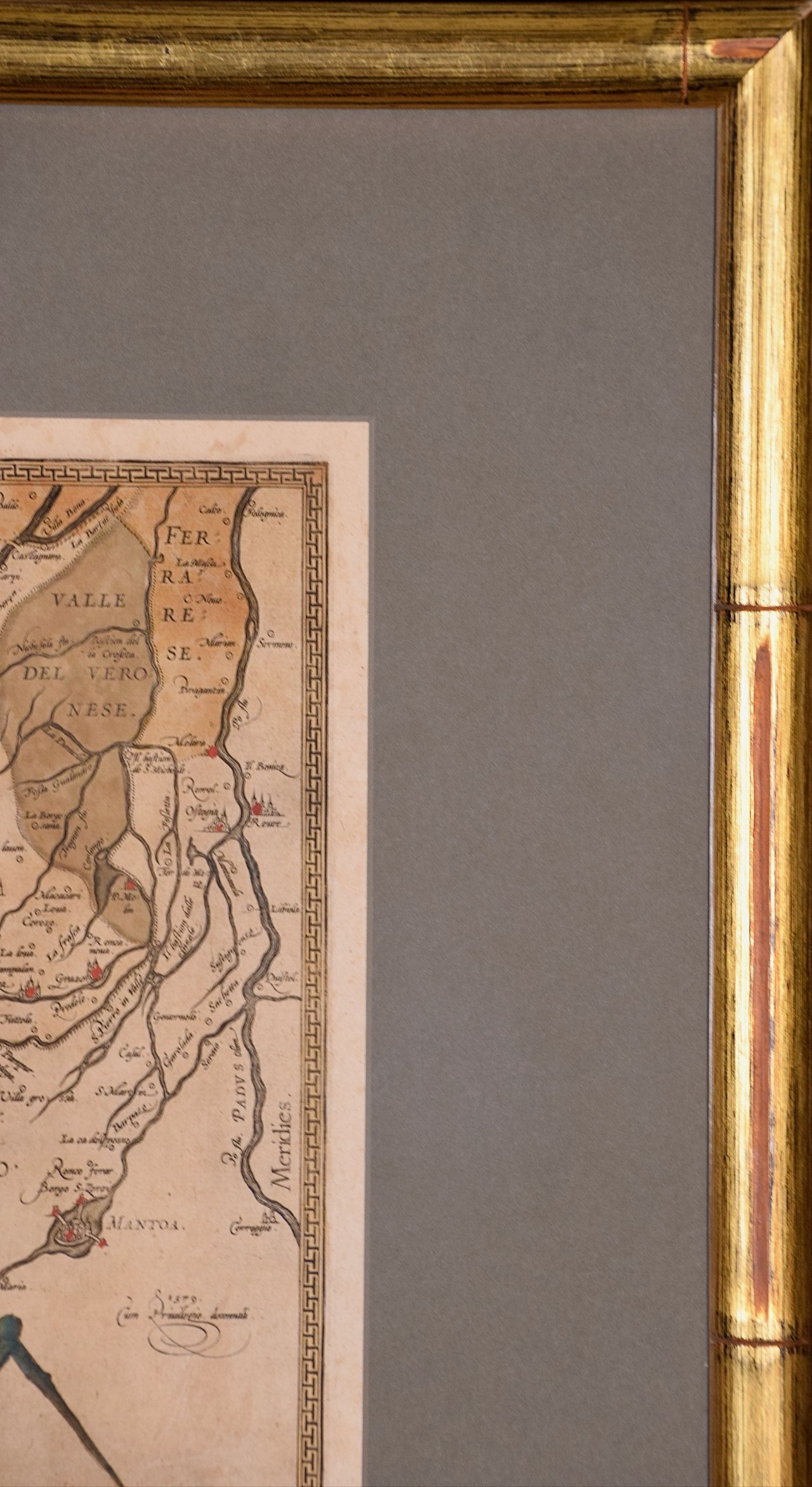
This large hand-colored map entitled "Le Royaume de Naples Divisé en Douze Provinces. sur les Memoires les plus Nouveaux. Par le Sr. Sanson Presenté" was originally created by Nicholas Sanson d'Abbeville and published by Hubert Jaillot in "Atlas Nouveau" in Paris in 1692. It depicts central and southern Italy, as well as Corfu, Albania, Mediterranean Sea and the Adriatic Sea. Naples, Sorrento, the Isle of Capri, Rome in the upper left corner of the map, as well as many other landmarks.

Creator: Nicholas Sanson d'Abbeville

Creation Year: 1692

Dimensions: Height: 20 in (50.8 cm) Width: 24.88 in (63.2 cm)

Medium: Engraving

Condition: See description below.

Reference #: 4766

Add To Cart

This large hand-colored map entitled "Le Royaume de Naples Divisé en Douze Provinces. sur les Memoires les plus Nouveaux. Par le Sr. Sanson Presenté" was originally created by Nicholas Sanson d'Abbeville and published by Hubert Jaillot in "Atlas Nouveau" in Paris in 1692. It depicts central and southern Italy, as well as Corfu, Albania, Mediterranean Sea and the Adriatic Sea. Naples, Sorrento, the Isle of Capri, Rome in the upper left corner of the map, as well as many other landmarks.

Creator: Nicholas Sanson d'Abbeville

Creation Year: 1692

Dimensions: Height: 20 in (50.8 cm) Width: 24.88 in (63.2 cm)

Medium: Engraving

Condition: See description below.

Reference #: 4766

This striking original hand-colored map of Italy is printed on antique hand-made laid, chain-linked paper with wide margins. The sheet measures 20" high and 24.88" wide. There is one spot on the left, it is otherwise in very good to excellent condition.

Nicholas Sanson d'Abbeville (1600-1667) was one of the greatest French cartographather of French cartography. Sanson opened his first printing business in Paris in 1638. The king recognized his skill and knowledge and made him the official geographer to the court. He eventually served two kings in this capacity. Sanson was succeeded by his sons, including Guillaume Sanson (1633-1703), and son-in-law in the business and as geographers to the king. Sanson's plates were eventually purchased by the prominent Parisian cartographer Alexis Hubert Jaillot (1632-1712), who continued to publish his maps and atlases with a dual Sanson and Jaillot attribution. Jaillot went on to serve King Louis XIV.

Related Works

1653 Danckerts Novissima et Accuratissima totius Italiae.jpg 1653 Danckerts Novissima et Accuratissima totius Italiae.jpg 1653 Danckerts Novissima et Accuratissima totius Italiae.jpg 1653 Danckerts Novissima et Accuratissima totius Italiae.jpg 1653 Danckerts Novissima et Accuratissima totius Italiae.jpg 1653 Danckerts Novissima et Accuratissima totius Italiae.jpg 1653 Danckerts Novissima et Accuratissima totius Italiae.jpg 1653 Danckerts Novissima et Accuratissima totius Italiae.jpg 1653 Danckerts Novissima et Accuratissima totius Italiae.jpg
17th Century Dutch Map of Italy, Sicily, Sardinia, Corsica and Dalmatian Coast
$1,475.00
The Kingdom of Naples and Southern Italy: A Hand-Colored 18th Century Homann Map 4183A Homann, Novissima & exactissimus Totius Regni Neapolis.jpg 4183B Homann, Novissima & exactissimus Totius Regni Neapolis.jpg 4183C Homann, Novissima & exactissimus Totius Regni Neapolis.jpg
The Kingdom of Naples and Southern Italy: A Hand-Colored 18th Century Homann Map
$1,175.00
Roman Hills, Aqueducts and Roads: An Early 18th Century Map by Jan Goeree 4678A Desseine, Map of Rome.jpeg 4678B Desseine, Map of Rome.jpeg 4678C Desseine, Map of Rome.jpeg 4678D Desseine, Map of Rome.jpeg 4678E Desseine, Map of Rome.jpeg
Roman Hills, Aqueducts and Roads: An Early 18th Century Map by Jan Goeree
$575.00

Prints
Maps
Books
Featured Items
Recent Acquisitions

Contact
Our Story
Sell Your Items
Subscribe to our newsletter!

FAQs
Terms and Conditions