Skip to Content
Timeless Intaglio: Rare Prints, Maps & Books
Shop
All Listings
Antiquarian Prints
Antiquarian Maps
Antiquarian Books
Artists
Our Story
Previews
Contact
Login Account
0
0
Search
Timeless Intaglio: Rare Prints, Maps & Books
Shop
All Listings
Antiquarian Prints
Antiquarian Maps
Antiquarian Books
Artists
Our Story
Previews
Contact
Login Account
0
0
Search
Folder: Shop
Back
All Listings
Antiquarian Prints
Antiquarian Maps
Antiquarian Books
Artists
Our Story
Previews
Contact
Login Account
Search
Shop Southern & Eastern Europe: A Large 17th C. Hand-colored Map by Sanson & Jaillot
4765 Sanson, Estats de L'Empire des Turqs en Europe.jpeg Image 1 of 7
4765 Sanson, Estats de L'Empire des Turqs en Europe.jpeg
4765A Sanson, Estats de L'Empire des Turqs en EuropeDSC_0471.JPG.jpeg Image 2 of 7
4765A Sanson, Estats de L'Empire des Turqs en EuropeDSC_0471.JPG.jpeg
4765B Sanson, Estats de L'Empire des Turqs en Europe.jpeg Image 3 of 7
4765B Sanson, Estats de L'Empire des Turqs en Europe.jpeg
4765C Sanson, Estats de L'Empire des Turqs en Europe.jpeg Image 4 of 7
4765C Sanson, Estats de L'Empire des Turqs en Europe.jpeg
4765D Sanson, Estats de L'Empire des Turqs en Europe.jpeg Image 5 of 7
4765D Sanson, Estats de L'Empire des Turqs en Europe.jpeg
4765E Sanson, Estats de L'Empire des Turqs en Europe.jpeg Image 6 of 7
4765E Sanson, Estats de L'Empire des Turqs en Europe.jpeg
4765F Sanson, Estats de L'Empire des Turqs en Europe.jpeg Image 7 of 7
4765F Sanson, Estats de L'Empire des Turqs en Europe.jpeg
4765 Sanson, Estats de L'Empire des Turqs en Europe.jpeg
4765A Sanson, Estats de L'Empire des Turqs en EuropeDSC_0471.JPG.jpeg
4765B Sanson, Estats de L'Empire des Turqs en Europe.jpeg
4765C Sanson, Estats de L'Empire des Turqs en Europe.jpeg
4765D Sanson, Estats de L'Empire des Turqs en Europe.jpeg
4765E Sanson, Estats de L'Empire des Turqs en Europe.jpeg
4765F Sanson, Estats de L'Empire des Turqs en Europe.jpeg

Southern & Eastern Europe: A Large 17th C. Hand-colored Map by Sanson & Jaillot

$2,175.00

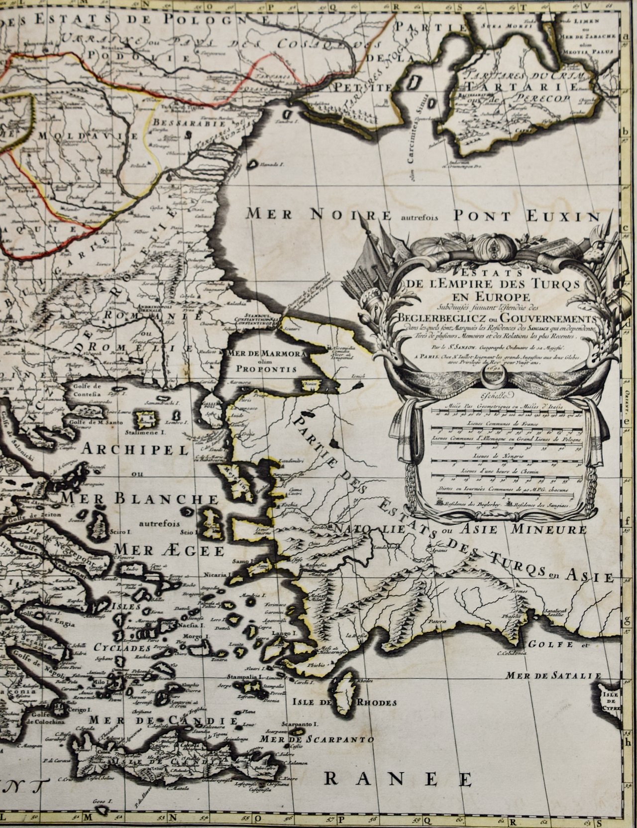
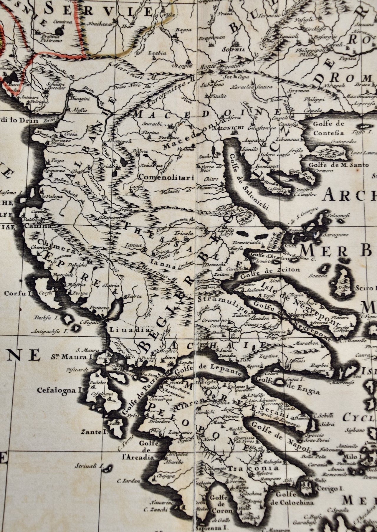
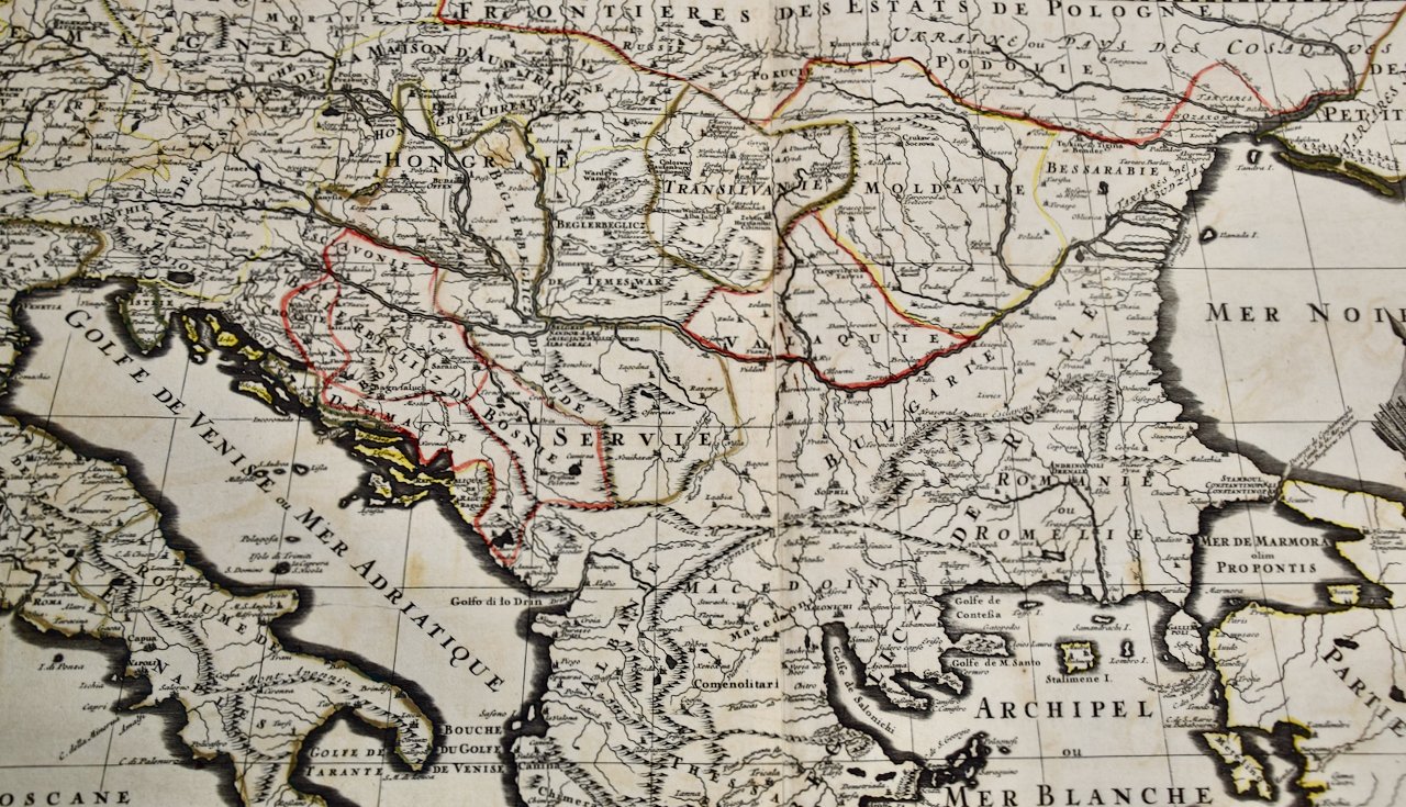
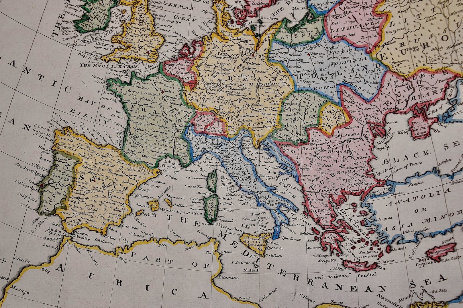
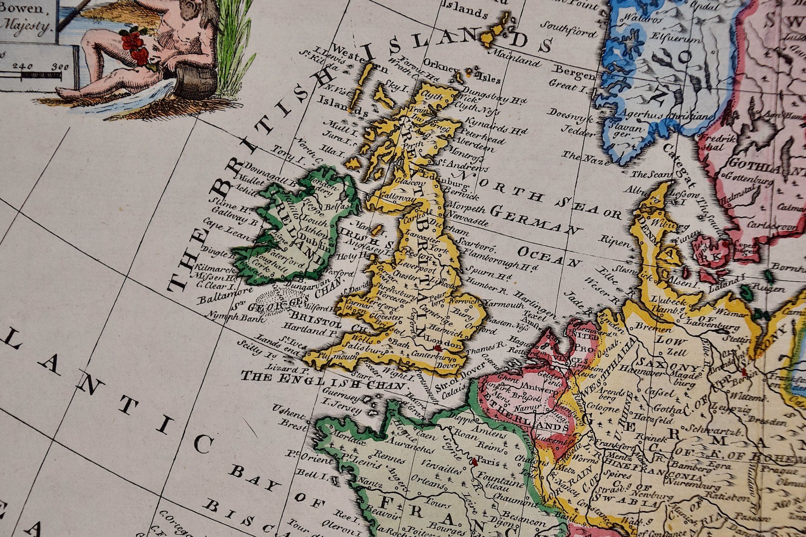
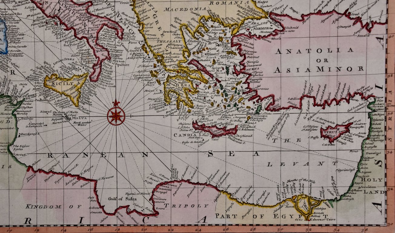
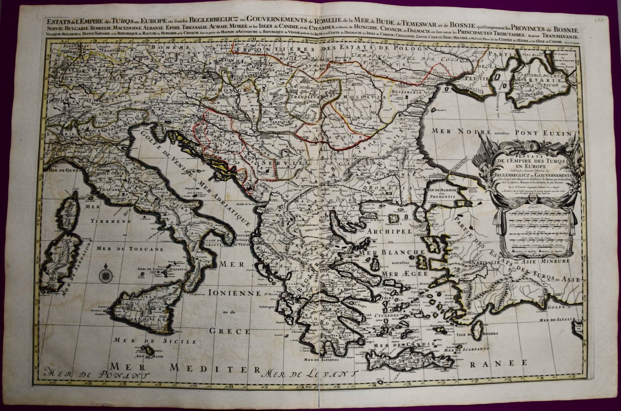
This large hand-colored map entitled "Estats de L'Empire des Turqs en Europe, ou sont les Beglerbeglicz our Gouvernements" was originally created by Nicholas Sanson d'Abbeville and this version was published by Hubert Jaillot in "Atlas Nouveau" in Paris in 1692. It depicts the territories of the Ottoman Empire in Europe, predominantly Eastern Europe. Highlights include, the Mediterranean Sea, the Adriatic Sea, the Black Sea, the Dalmation Coast including present day Croatia, Bosnia and Herzegovina, Montenegro, Serbia, Slovenia, Italy, Greece, North Macedonia, Turkey, Romania, Hungary, Albania, Kosovo, Bulgaria, Transylvania, Moldova and southern portions of France, Switzerland, Germany, and Poland.

Creator: Nicholas Sanson d'Abbeville

Creation Year: 1692

Dimensions: Height: 24.88 in (63.2 cm) Width: 38 in (96.52 cm)

Medium: Engraving

Condition: See description below.

Reference #: 4765

Add To Cart

This large hand-colored map entitled "Estats de L'Empire des Turqs en Europe, ou sont les Beglerbeglicz our Gouvernements" was originally created by Nicholas Sanson d'Abbeville and this version was published by Hubert Jaillot in "Atlas Nouveau" in Paris in 1692. It depicts the territories of the Ottoman Empire in Europe, predominantly Eastern Europe. Highlights include, the Mediterranean Sea, the Adriatic Sea, the Black Sea, the Dalmation Coast including present day Croatia, Bosnia and Herzegovina, Montenegro, Serbia, Slovenia, Italy, Greece, North Macedonia, Turkey, Romania, Hungary, Albania, Kosovo, Bulgaria, Transylvania, Moldova and southern portions of France, Switzerland, Germany, and Poland.

Creator: Nicholas Sanson d'Abbeville

Creation Year: 1692

Dimensions: Height: 24.88 in (63.2 cm) Width: 38 in (96.52 cm)

Medium: Engraving

Condition: See description below.

Reference #: 4765

The map consists of two sheets joined as one along a vertical joint. The map has original hand-coloring. It is printed on antique hand-made laid, chain-linked paper with wide margins. The sheet measures 24.88" high and 38" wide. There is a central vertical joint, as issued. The map is in very good condition.

Nicholas Sanson d'Abbeville (1600-1667) was one of the greatest French cartographather of French cartography. Sanson opened his first printing business in Paris in 1638. The king recognized his skill and knowledge and made him the official geographer to the court. He eventually served two kings in this capacity. Sanson was succeeded by his sons, including Guillaume Sanson (1633-1703), and son-in-law in the business and as geographers to the king. Sanson's plates were eventually purchased by the prominent Parisian cartographer Alexis Hubert Jaillot (1632-1712), who continued to publish his maps and atlases with a dual Sanson and Jaillot attribution. Jaillot went on to serve King Louis XIV.

Related Works

1619 Janssonius, Prussia Accurate Descripta.jpg 1619 Janssonius, Prussia Accurate Descripta.jpg 1619 Janssonius, Prussia Accurate Descripta.jpg 1619 Janssonius, Prussia Accurate Descripta.jpg 1619 Janssonius, Prussia Accurate Descripta.jpg 1619 Janssonius, Prussia Accurate Descripta.jpg 1619 Janssonius, Prussia Accurate Descripta.jpg
A Hand Colored 17th Century Janssonius Map of Prussia: Poland, N. Germany, etc.
$1,075.00
592 Visscher, Hollandiae.jpg 592 Visscher, Hollandiae.jpg 592 Visscher, Hollandiae.jpg 592 Visscher, Hollandiae.jpg 592 Visscher, Hollandiae.jpg
Southern Holland: An Original 17th C. Hand-colored Visscher Map "Hollandiae"
$1,275.00
4766 Sanson & Jaillot, Le Royaume de Naples divisée en douze provinces.jpeg 4766 Sanson & Jaillot, Le Royaume de Naples divisée en douze provinces.jpeg 4766 Sanson & Jaillot, Le Royaume de Naples divisée en douze provinces.jpeg 4766 Sanson & Jaillot, Le Royaume de Naples divisée en douze provinces.jpeg 4766 Sanson & Jaillot, Le Royaume de Naples divisée en douze provinces.jpeg
Naples and S. Italy: A Large 17th C. Hand-colored Map by Sanson and Jaillot
$1,275.00
The Loire Valley of France: A 17th C. Hand-colored Map by Sanson and Jaillot 4756A Sanson & Jaillot, Gouvernement D'Orleans et la Generalite divisee.jpeg 4756B Sanson & Jaillot, Gouvernement D'Orleans et la Generalite divisee.jpeg 4756C Sanson & Jaillot, Gouvernement D'Orleans et la Generalite divisee.jpeg 4756D Sanson & Jaillot, Gouvernement D'Orleans et la Generalite divisee.jpeg 4756E Sanson & Jaillot, Gouvernement D'Orleans et la Generalite divisee.jpeg
The Loire Valley of France: A 17th C. Hand-colored Map by Sanson and Jaillot
$2,175.00
Southern Greece: A Large 17th Century Hand-colored Map By Sanson and Jaillot 4755A Sanson & Jaillot, La Moree Et Les Isles De Zante, Cefalonie, Ste. Marie, Cerigo & C. Dresse.jpeg 4755B Sanson & Jaillot, La Moree Et Les Isles De Zante, Cefalonie, Ste. Marie, Cerigo & C. Dresse.jpeg 4755C Sanson & Jaillot, La Moree Et Les Isles De Zante, Cefalonie, Ste. Marie, Cerigo & C. Dresse.jpeg 4755D Sanson & Jaillot, La Moree Et Les Isles De Zante, Cefalonie, Ste. Marie, Cerigo & C. Dresse.jpeg 4755E Sanson & Jaillot, La Moree Et Les Isles De Zante, Cefalonie, Ste. Marie, Cerigo & C. Dresse.jpeg 4755F Sanson & Jaillot, La Moree Et Les Isles De Zante, Cefalonie, Ste. Marie, Cerigo & C. Dresse.jpeg
Southern Greece: A Large 17th Century Hand-colored Map By Sanson and Jaillot
$1,975.00

Prints
Maps
Books
Featured Items
Recent Acquisitions

Contact
Our Story
Sell Your Items
Subscribe to our newsletter!

FAQs
Terms and Conditions