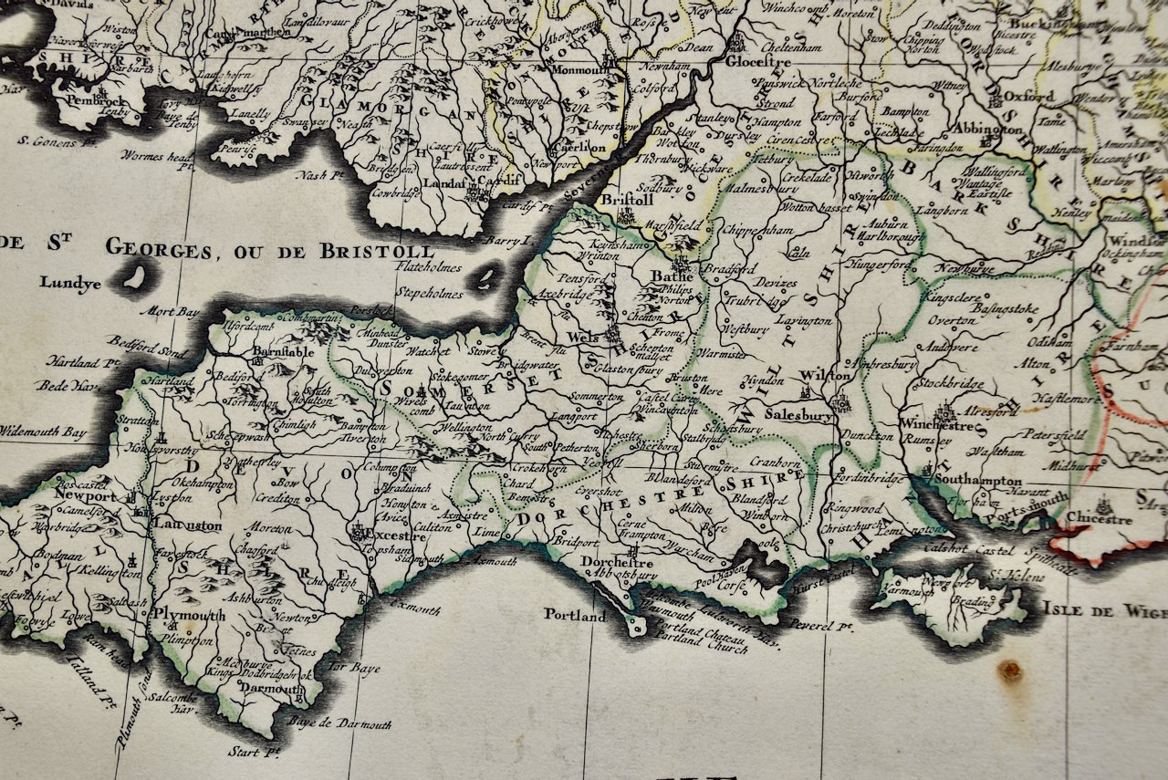
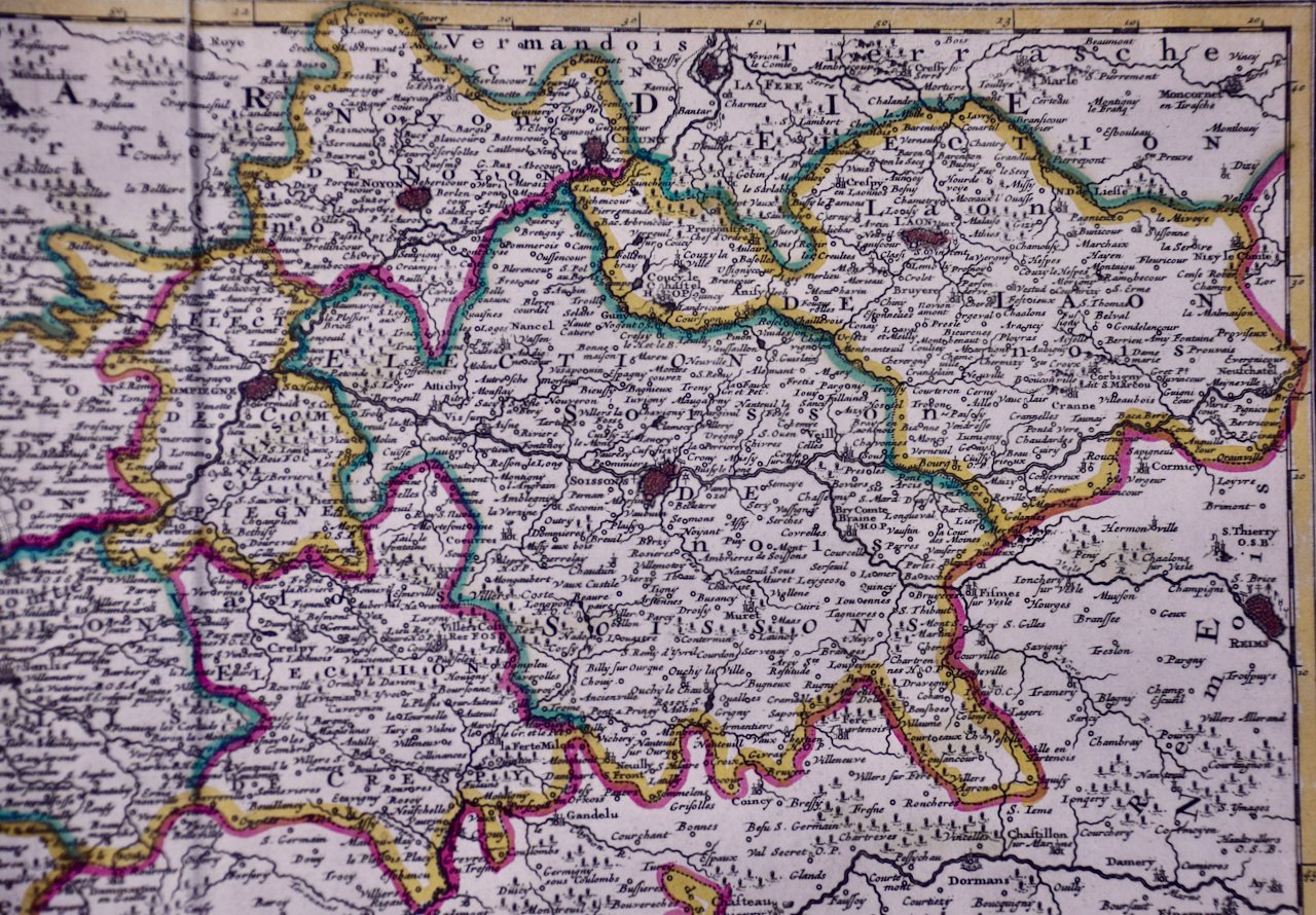
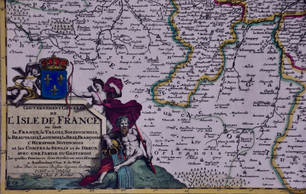
Image 1 of 6
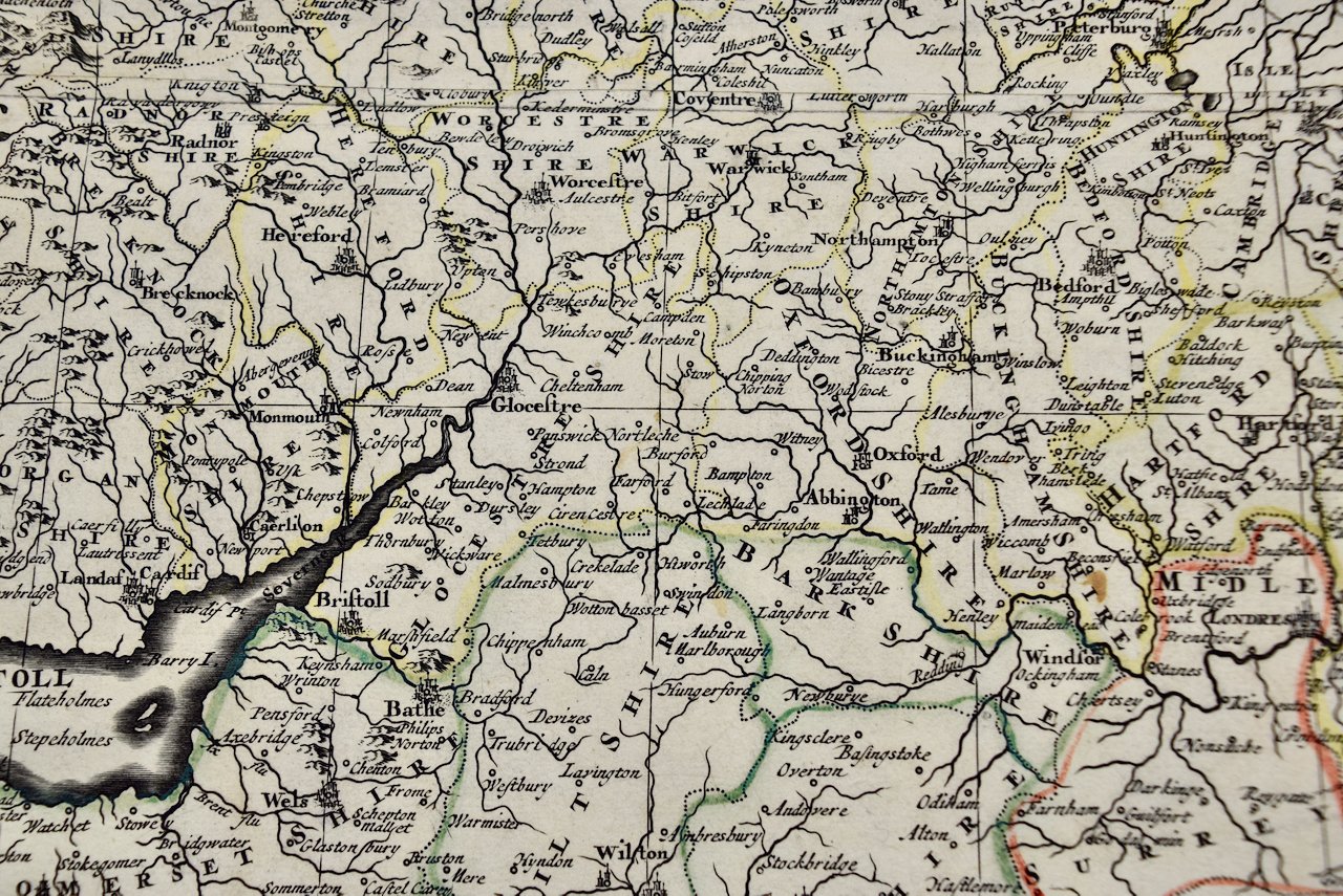
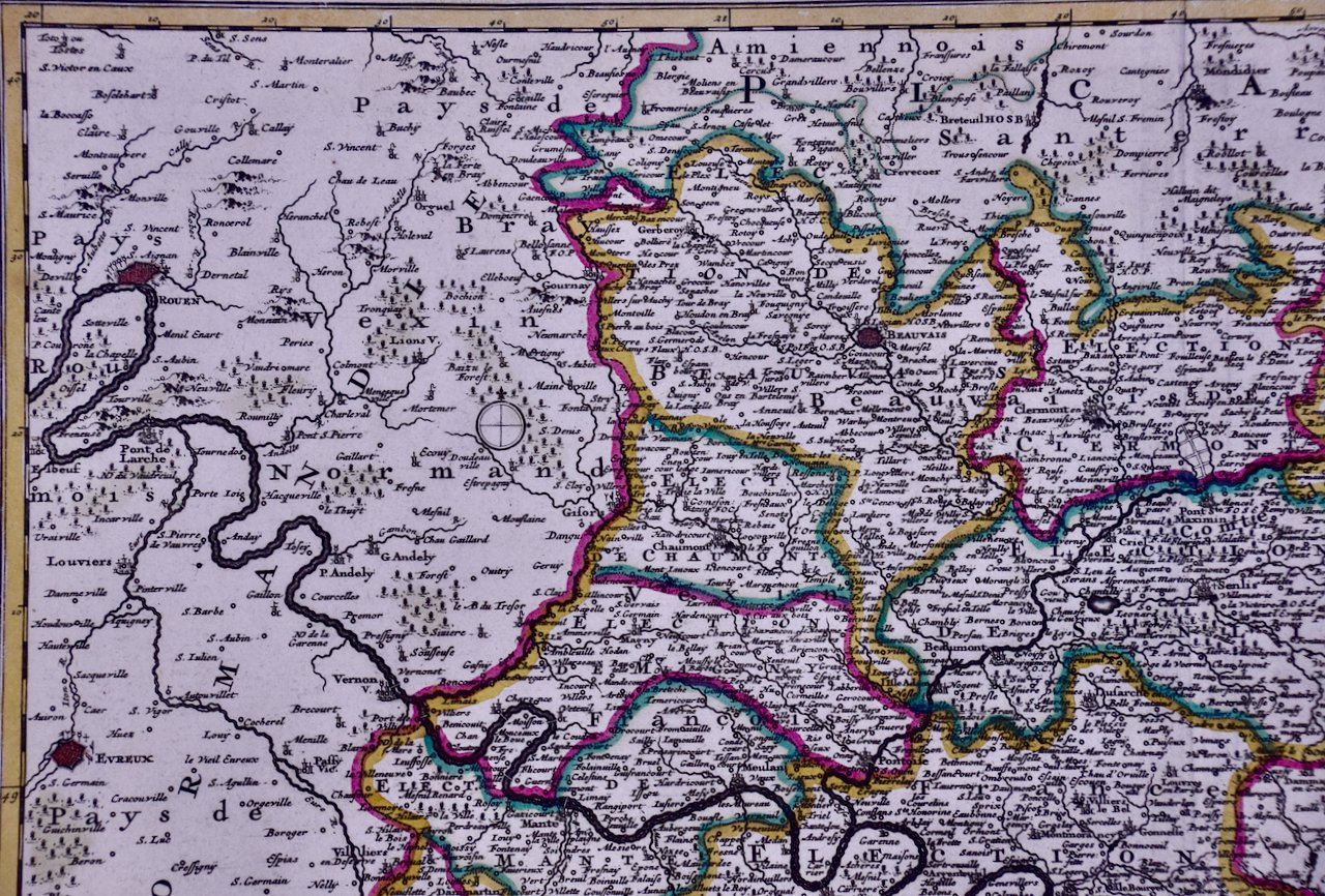
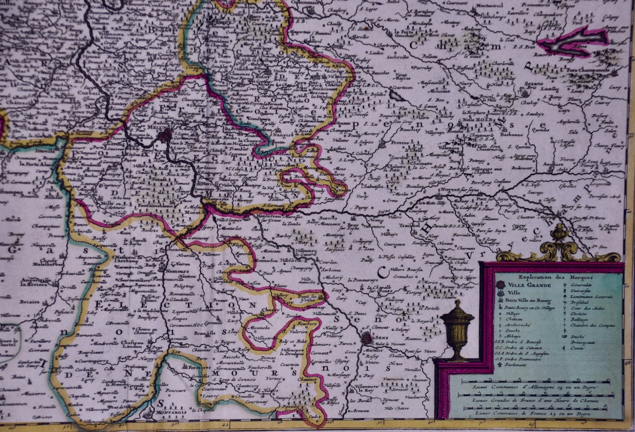
 Image 2 of 6
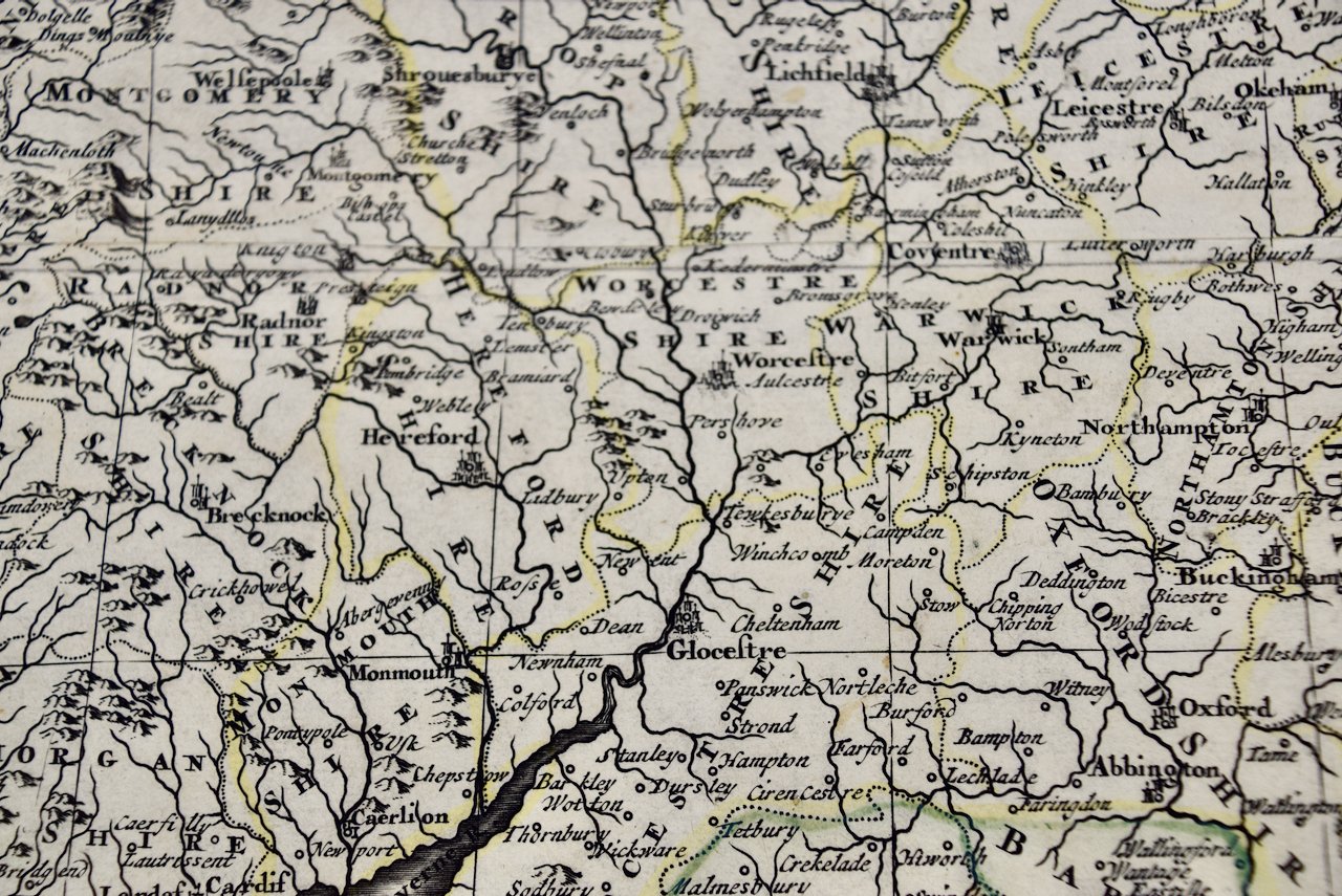
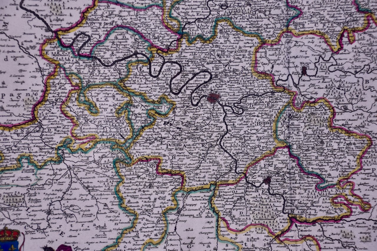
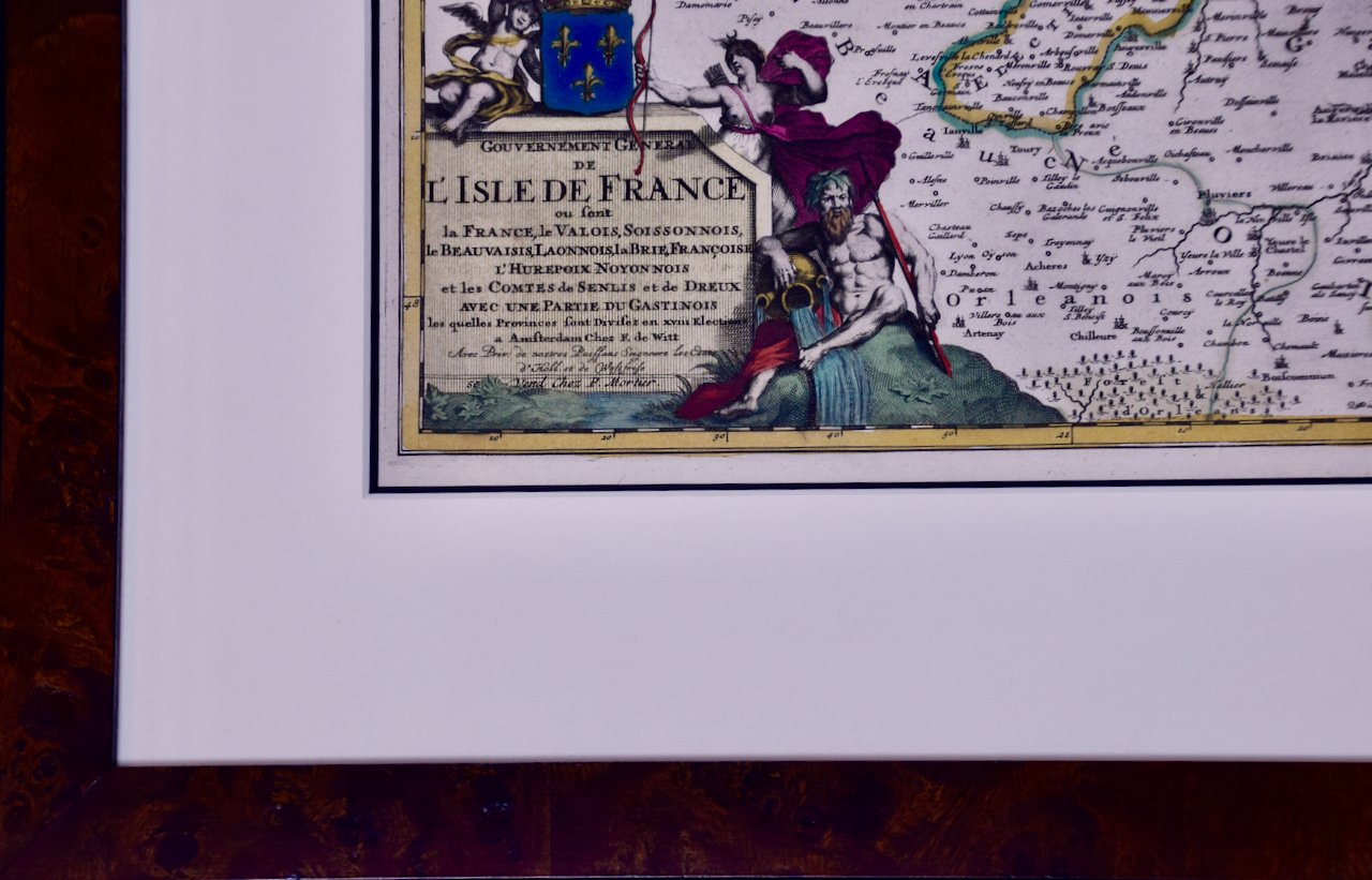
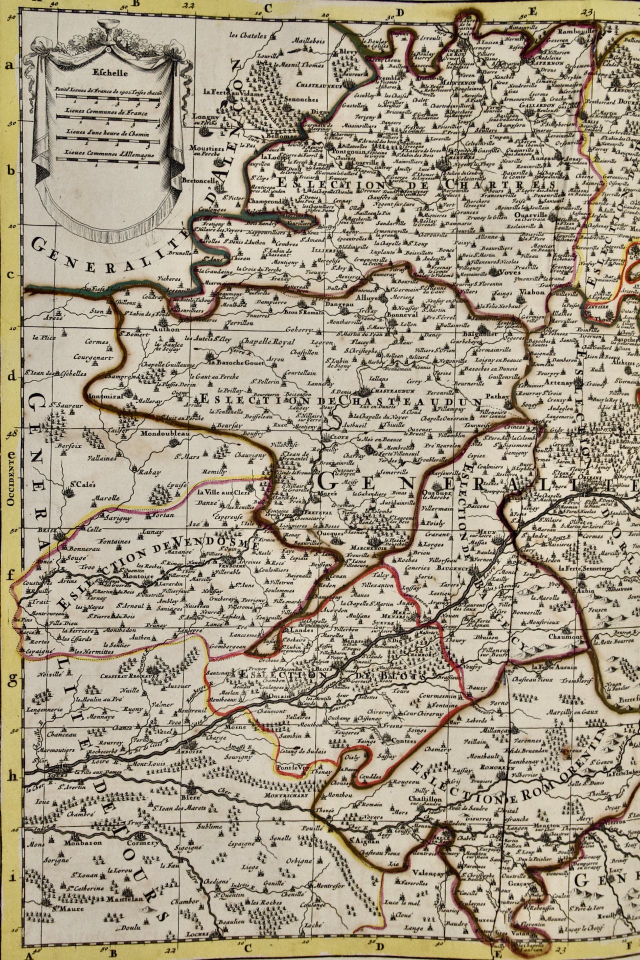 Image 3 of 6
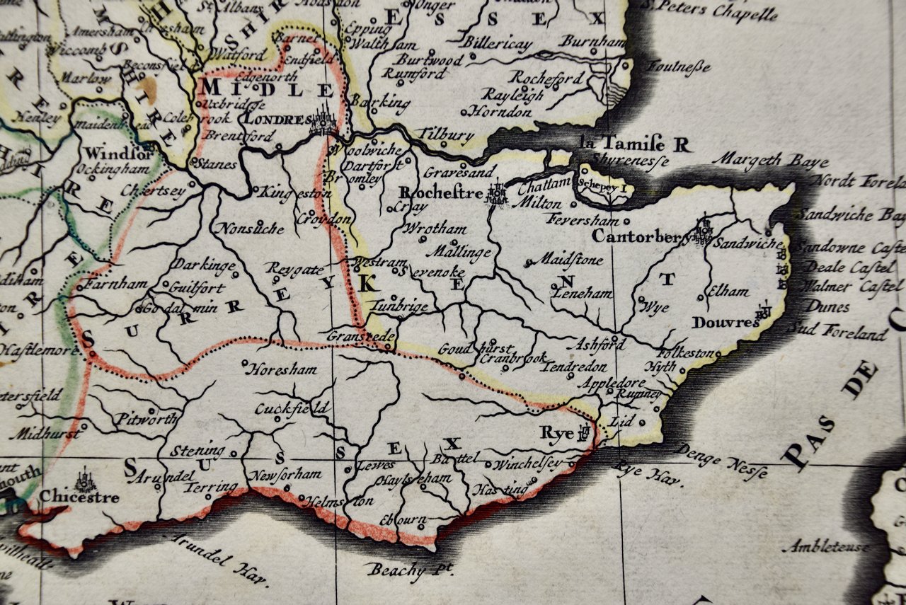
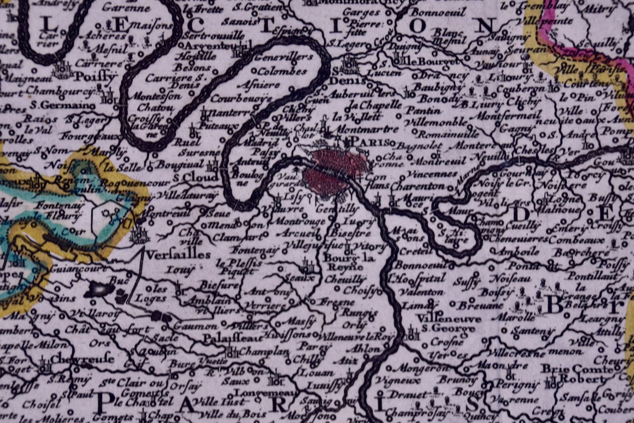
 Image 4 of 6
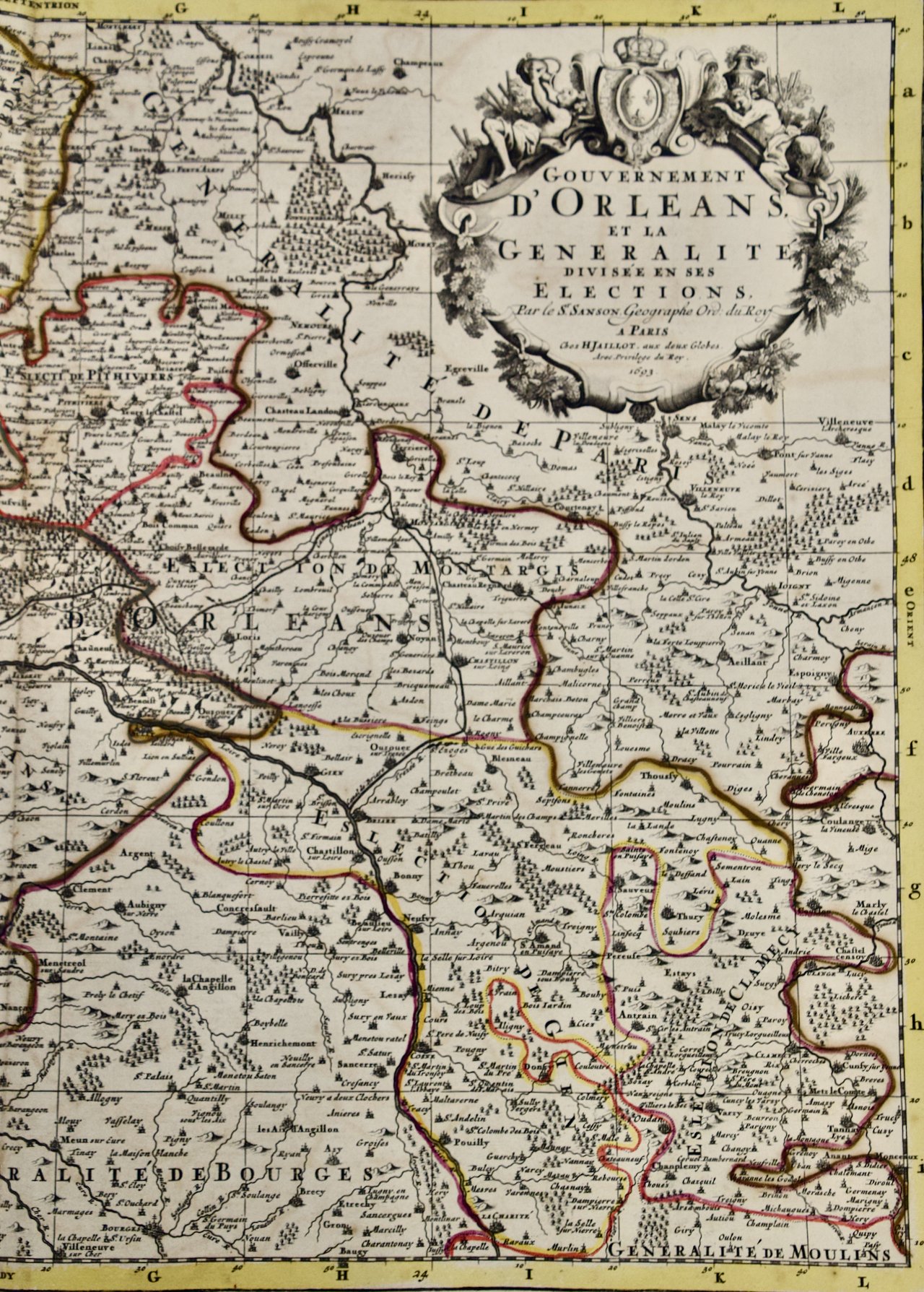 Image 5 of 6
 Image 6 of 6
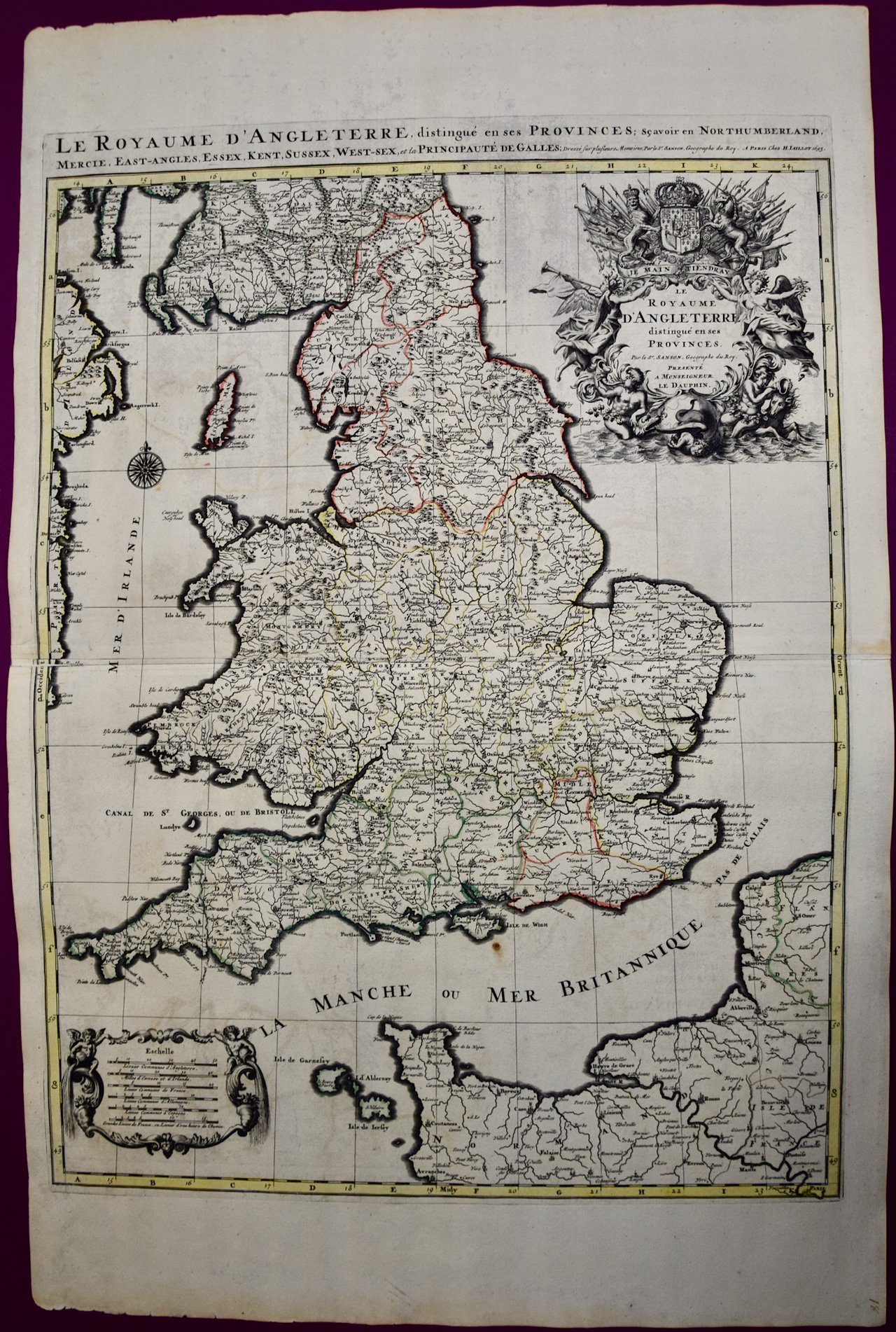
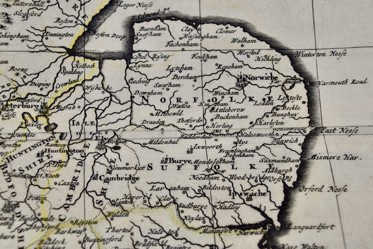
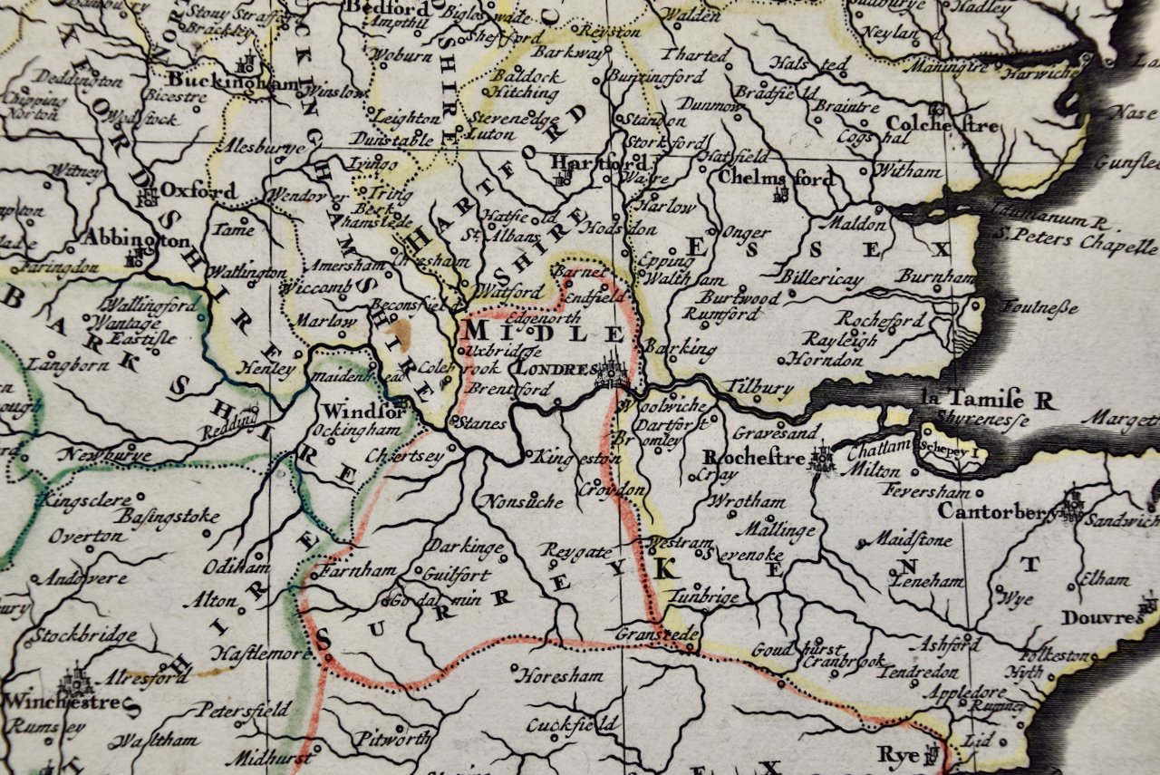
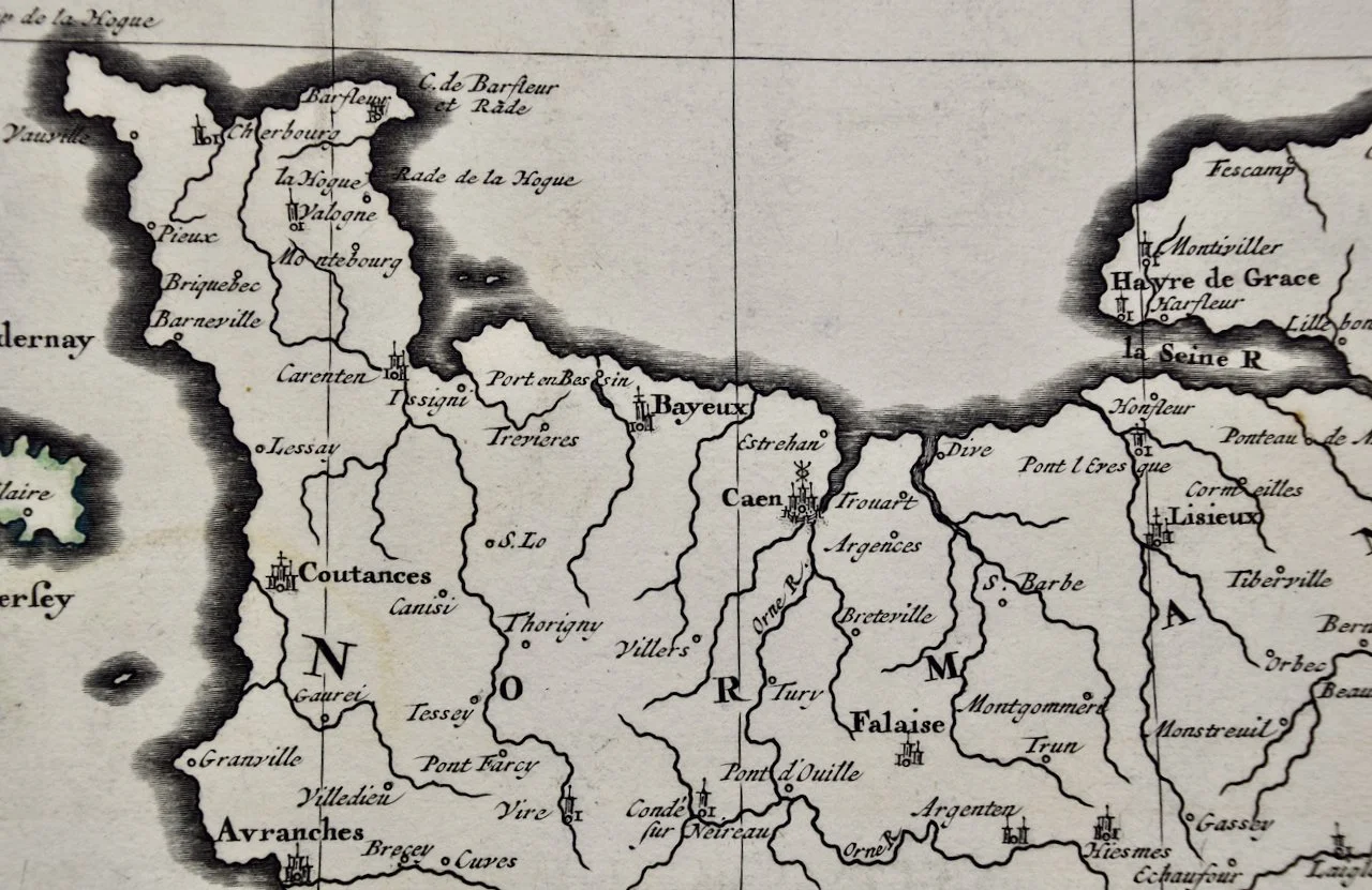
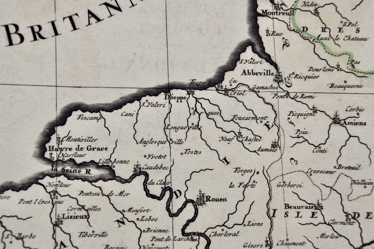
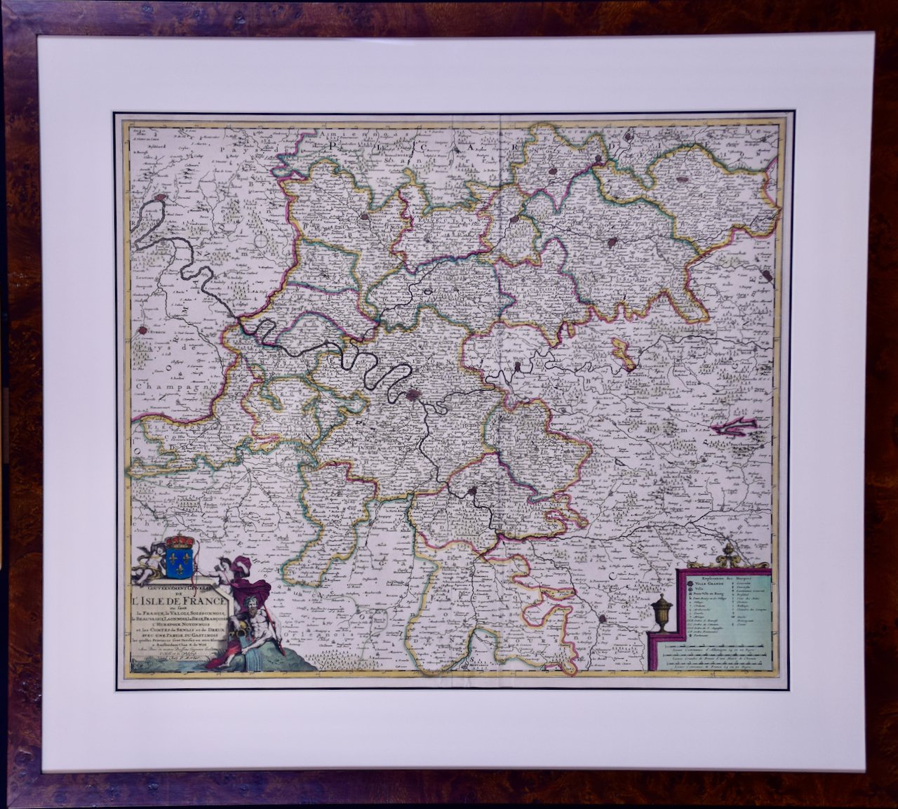
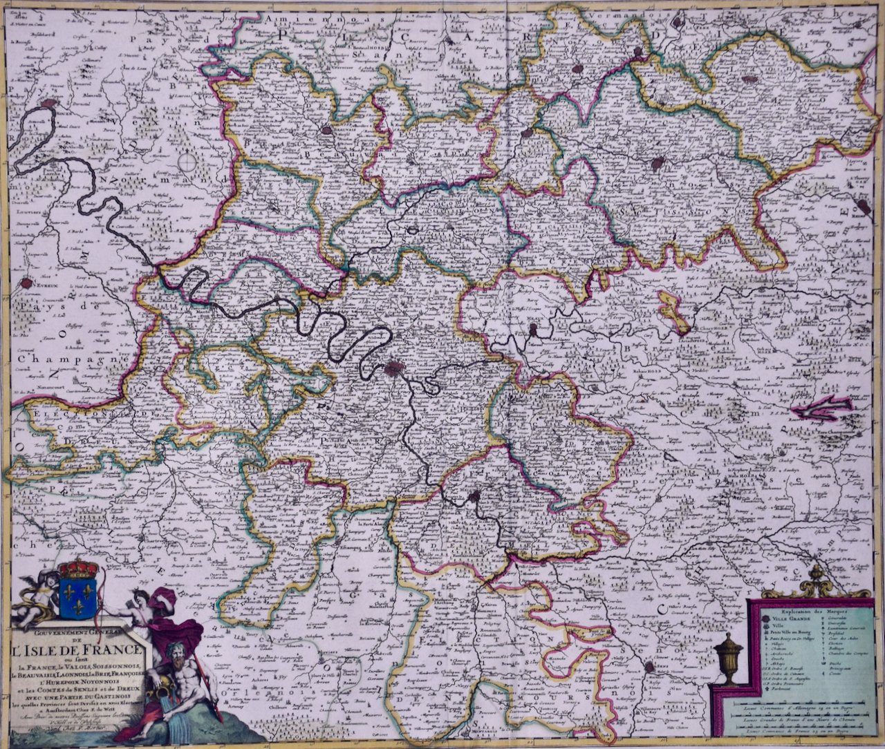
The map consists of two sheets joined as one along a vertical joint. The map has original hand-coloring. It is printed on antique hand-made laid, chain-linked paper with wide margins. The sheet measures 24.88" high and 38" wide. There is a central vertical joint, as issued. There are several spots and some discoloration at the periphery of the margins. There is some irregularity of the left and right edges of the sheet. There is a repaired tear in the lower margin to the right of the central vertical joint. The map itself is in very good condition.
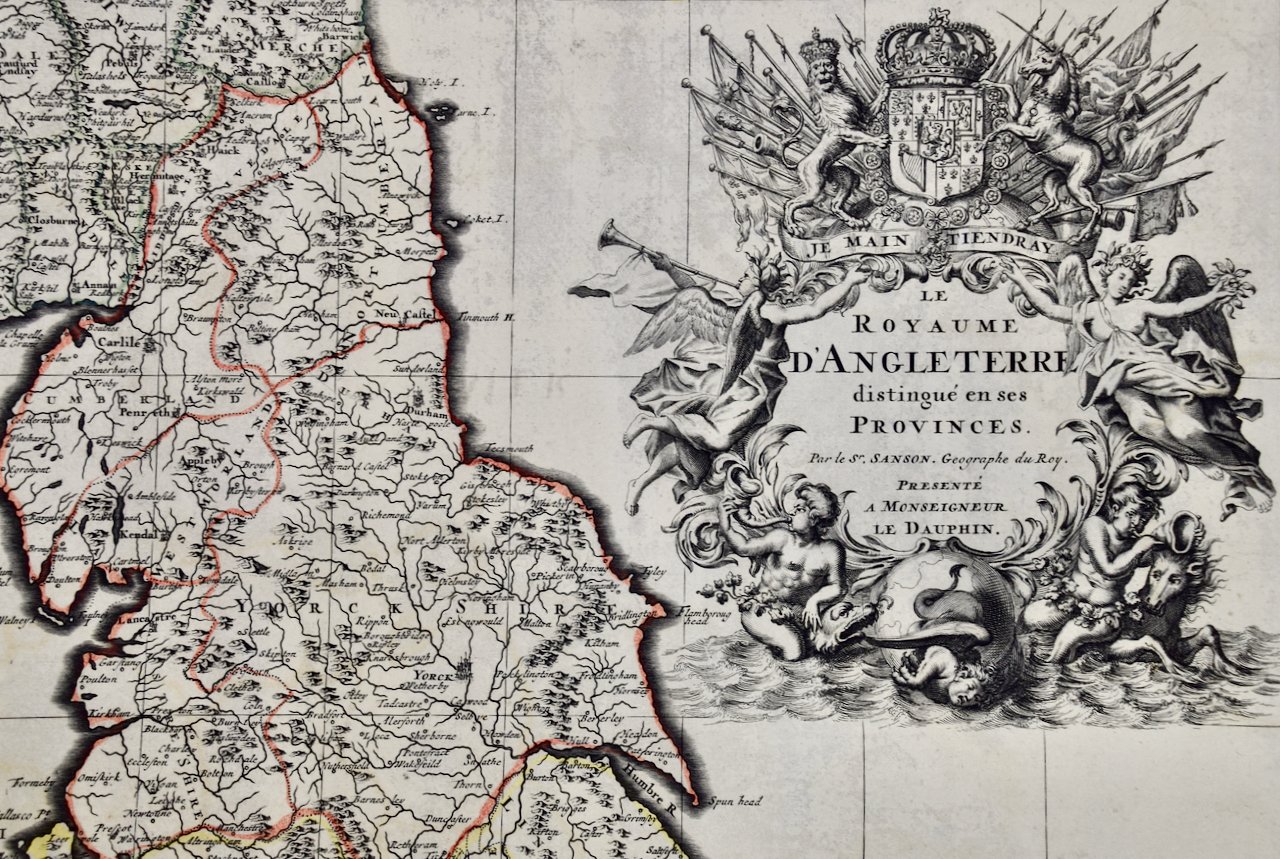
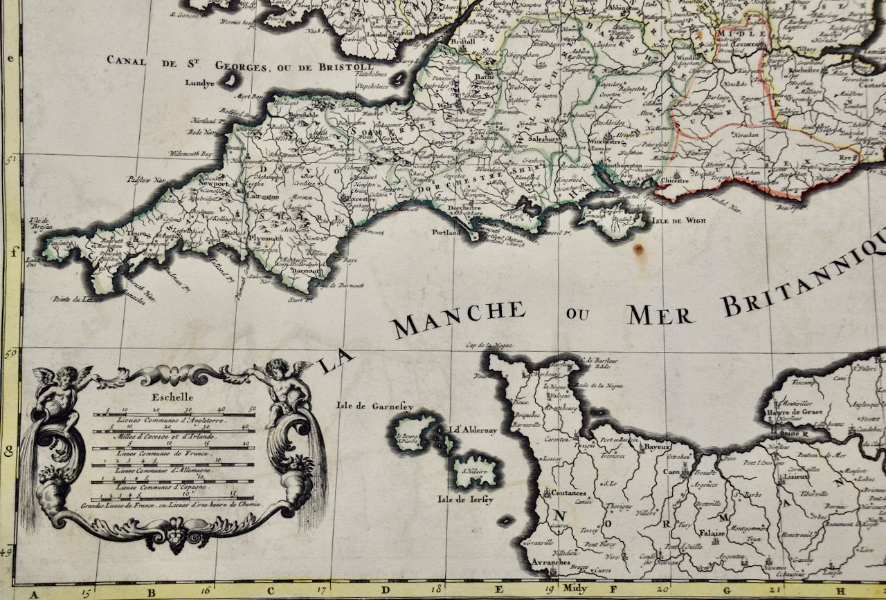
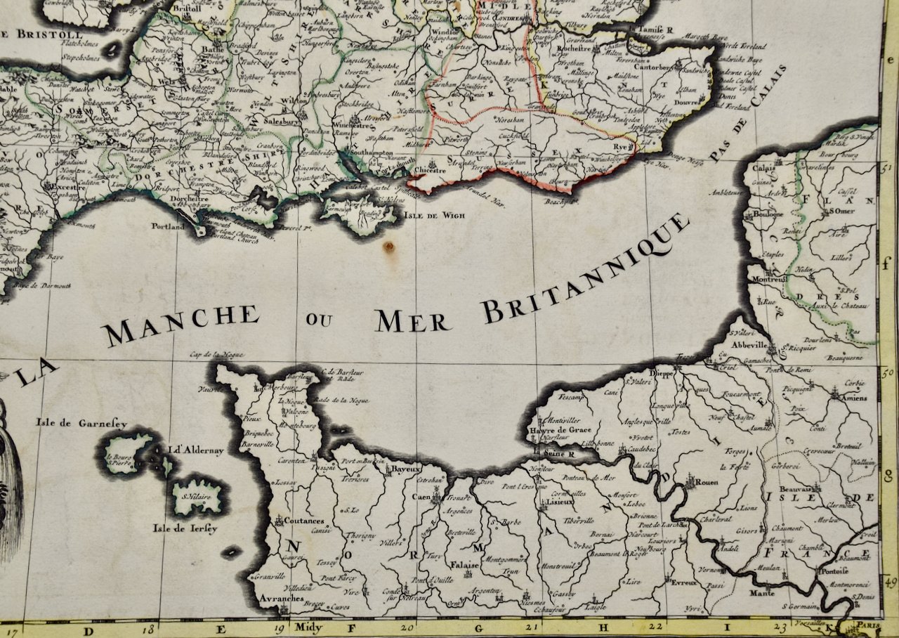
Nicholas Sanson d'Abbeville (1600-1667) was one of the greatest French cartographather of French cartography. Sanson opened his first printing business in Paris in 1638. The king recognized his skill and knowledge and made him the official geographer to the court. He eventually served two kings in this capacity. Sanson was succeeded by his sons, including Guillaume Sanson (1633-1703), and son-in-law in the business and as geographers to the king. Sanson's plates were eventually purchased by the prominent Parisian cartographer Alexis Hubert Jaillot (1632-1712), who continued to publish his maps and atlases with a dual Sanson and Jaillot attribution. Jaillot went on to serve King Louis XIV.