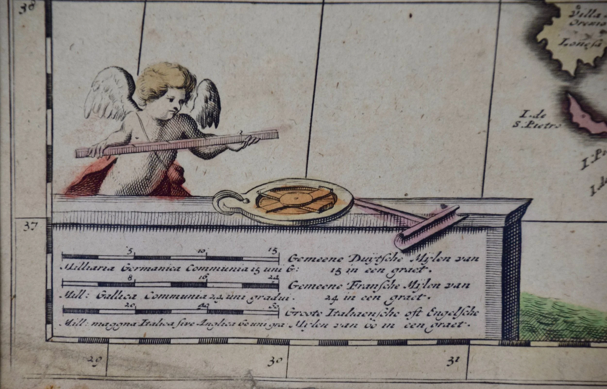
 Image 1 of 6
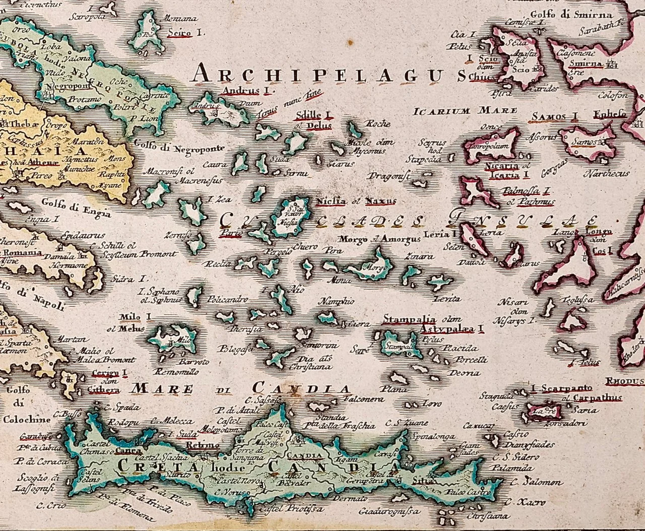
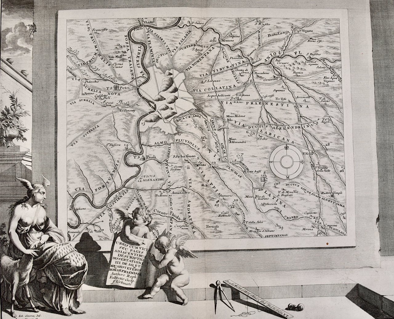 Image 2 of 6
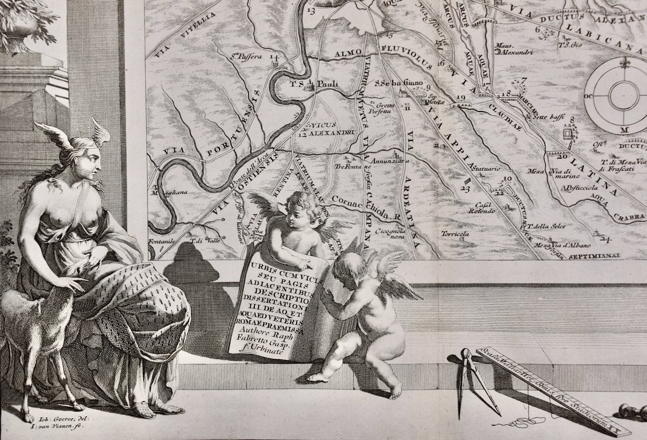 Image 3 of 6
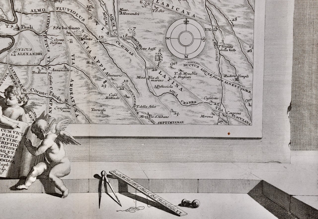 Image 4 of 6
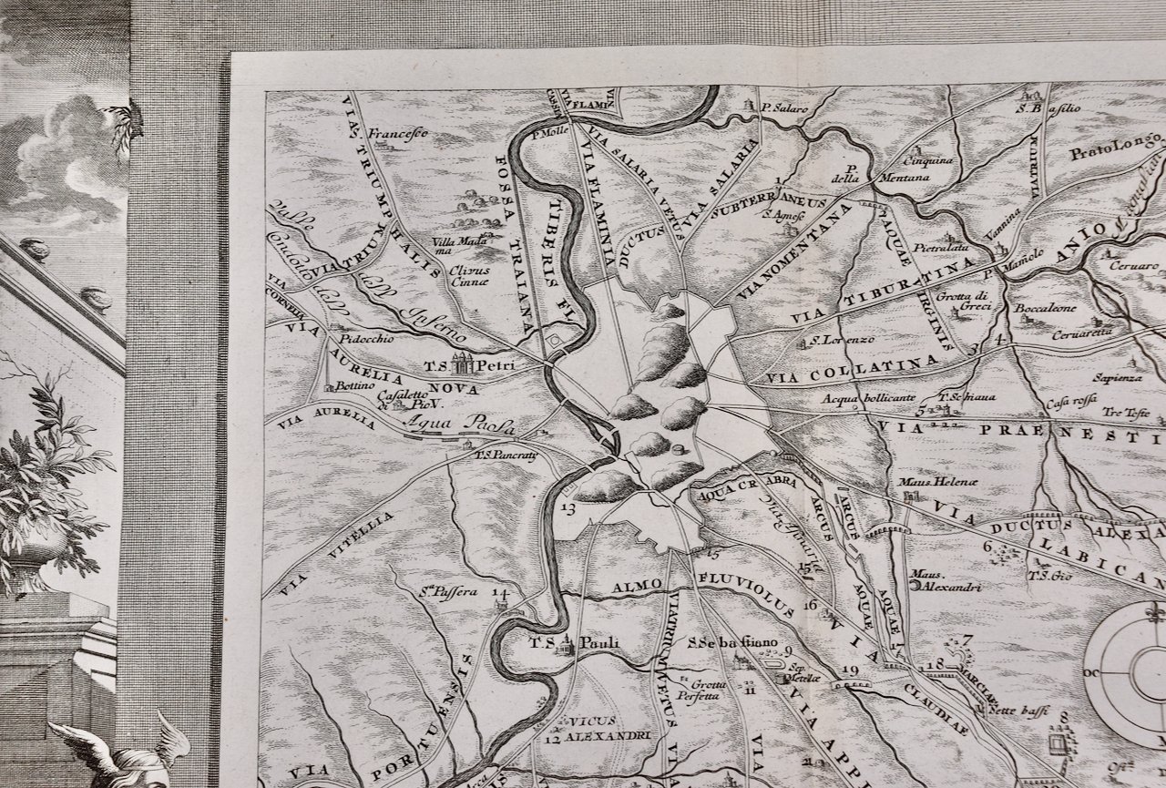 Image 5 of 6
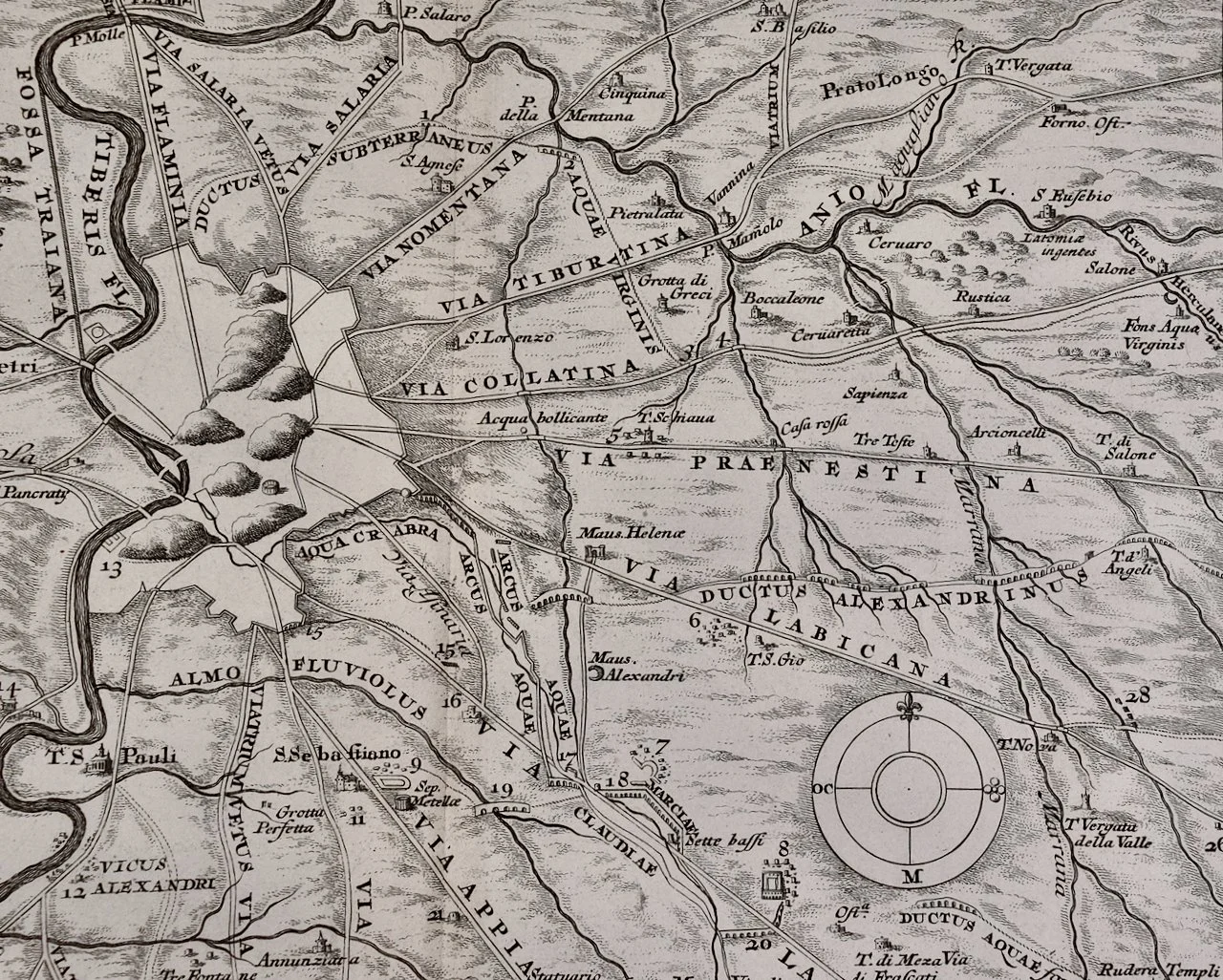 Image 6 of 6
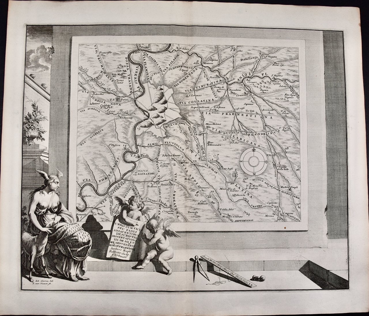
This somewhat whimsical map of Rome is printed on laid, chain-linked paper with wide margins. The sheet measures 20.75" high and 24.75" wide. There is a vertical center fold, as issued and one small spot in the lower right margin of the map on the wall and another at the upper left edge of the sheet. It is otherwise in very good condition.
Francois Desseine was a Dutch librarian who authored the work 'Beschrijving van oud en niew Rome verdeelt in drie deelen' (Description of ancient and new Rome divided into three parts). It was a description of Rome, illustrated with numerous maps and engravings, depicting its people, customs, and architecture, etc.
Jan Goeree (1670-1731) was a Dutch artist, engraver, and art theorist, known for his prolific output of prints and drawings. He was born in Amsterdam and began his artistic training under the tutelage of his father, Willem Goeree, a famous art writer and publisher. Jan Goeree specialized in the production of prints, which were highly popular in his time, and he also created a large number of drawings and paintings. Goeree's work was highly influenced by the Dutch Golden Age, with its focus on realism, detail, and naturalism. He produced a wide variety of prints, including landscapes, genre scenes, and portraits, often working in collaboration with other artists. Goeree was also an important art theorist and published several influential books on art, including "Inleydinge Tot de Al-gemeene Teyken-Konst" (Introduction to the General Art of Drawing), which became a standard textbook for Dutch art schools in the 18th century. Despite his prolific output and influence, Goeree's reputation as an artist declined in the 19th century, and his work fell out of favor. However, in recent years, there has been renewed interest in his prints and drawings, and he is once again recognized as an important figure in Dutch art history.