Image 1 of 6
 Image 2 of 6
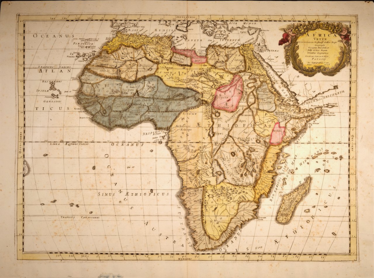
 Image 3 of 6
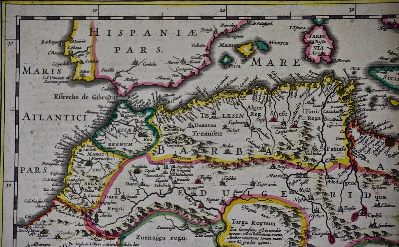
 Image 4 of 6
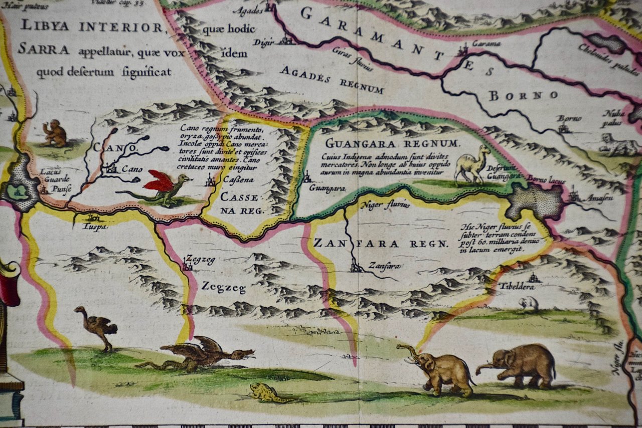
 Image 5 of 6
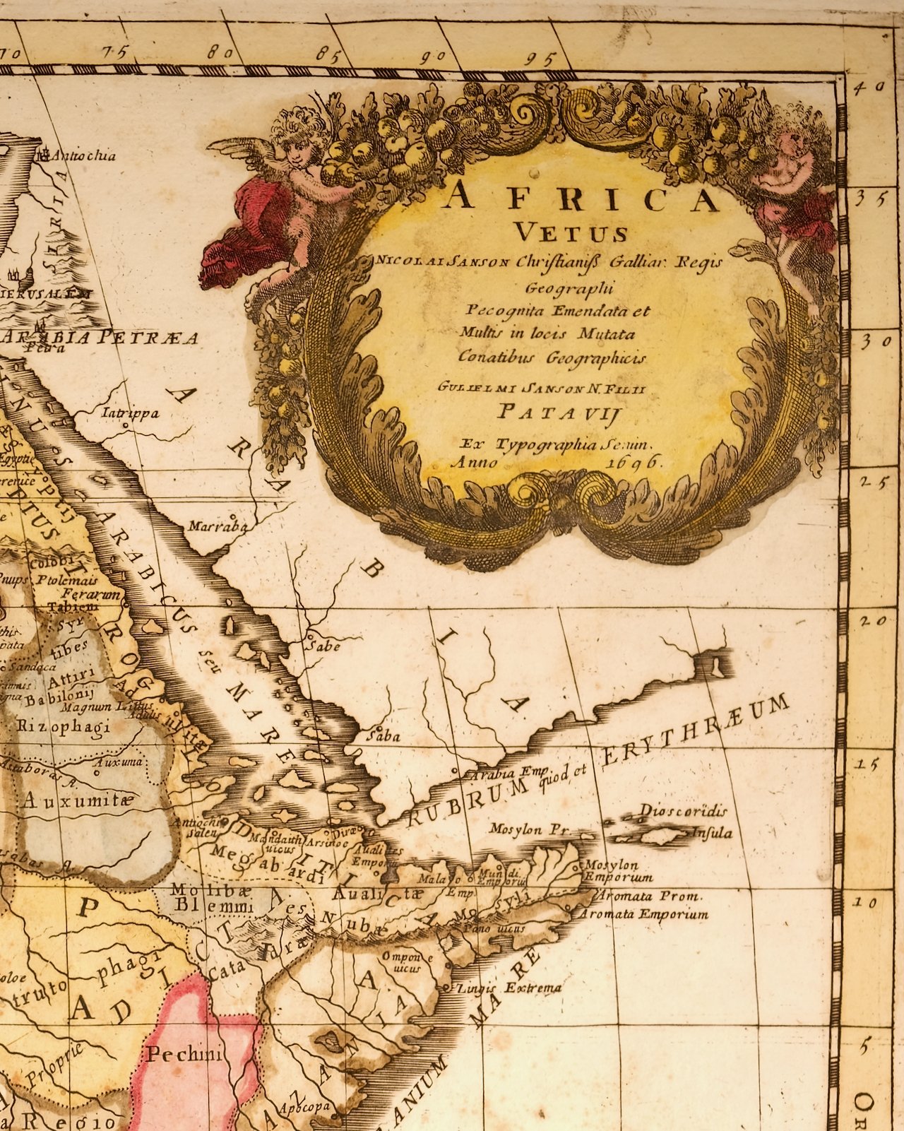
 Image 6 of 6
Prevost's "L'Histoire Generale des Voyages" was an expansive work that mapped China, the East Indies, Asia, the Americas, early voyages to Australia, New Guinea, the Palau Islands, Africa, and voyages in the Pacific including those of Magellan, Schouten, and Le Maire, Drake, Sarmiento, Cavendish, Spilbergen, Narborough, Rogers, Cowley, Frazier, and Anson. The work included accounts of the Dutch and French voyages to the East Indies, voyages to China, and the British East India Company's voyages to India and Ceylon. The publication was published before the three voyages of discovery by Captain James Cook later in the 18th century.
The map is printed on laid, chain-linked, watermarked paper. There are wide margins all around and a central vertical fold, as issued. There is mild spotting in the upper margin and to a lesser extent in the right margin, but the map is otherwise in excellent condition.
Two other Bellin maps are available, including an unframed map of the island of St. Christophe, now known as St. Kitts, "Carte De De l'Isle St. Christophe", and a map of St. Lucie framed in lucite. These maps would make a striking display grouping. A discount is available for the purchase of two or more maps.
The map was prepared by Jacques Nicolas Bellin (1703–1772), who was one of the most important cartographers of the 18th century. He served for a number of years as map and chart maker, as well hydrographer to the King of France.