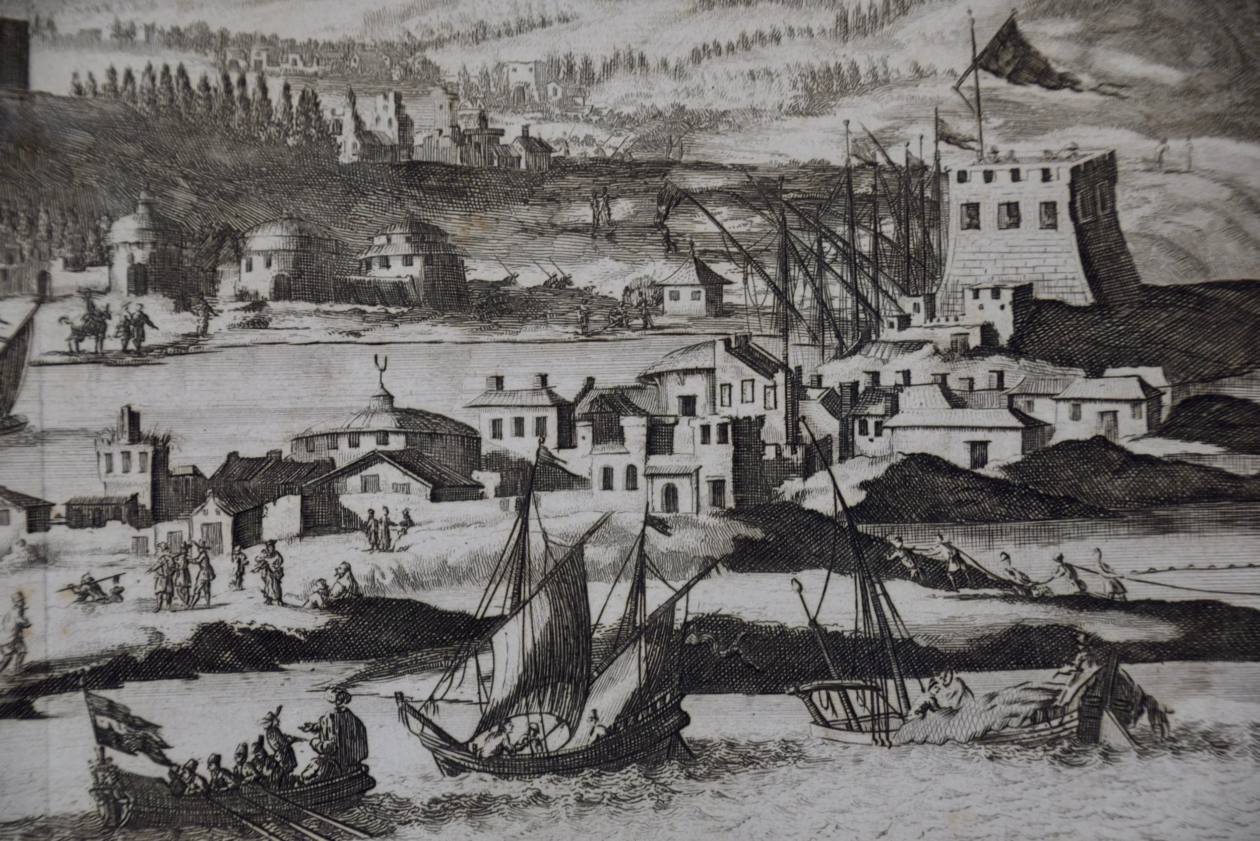
Image 1 of 13
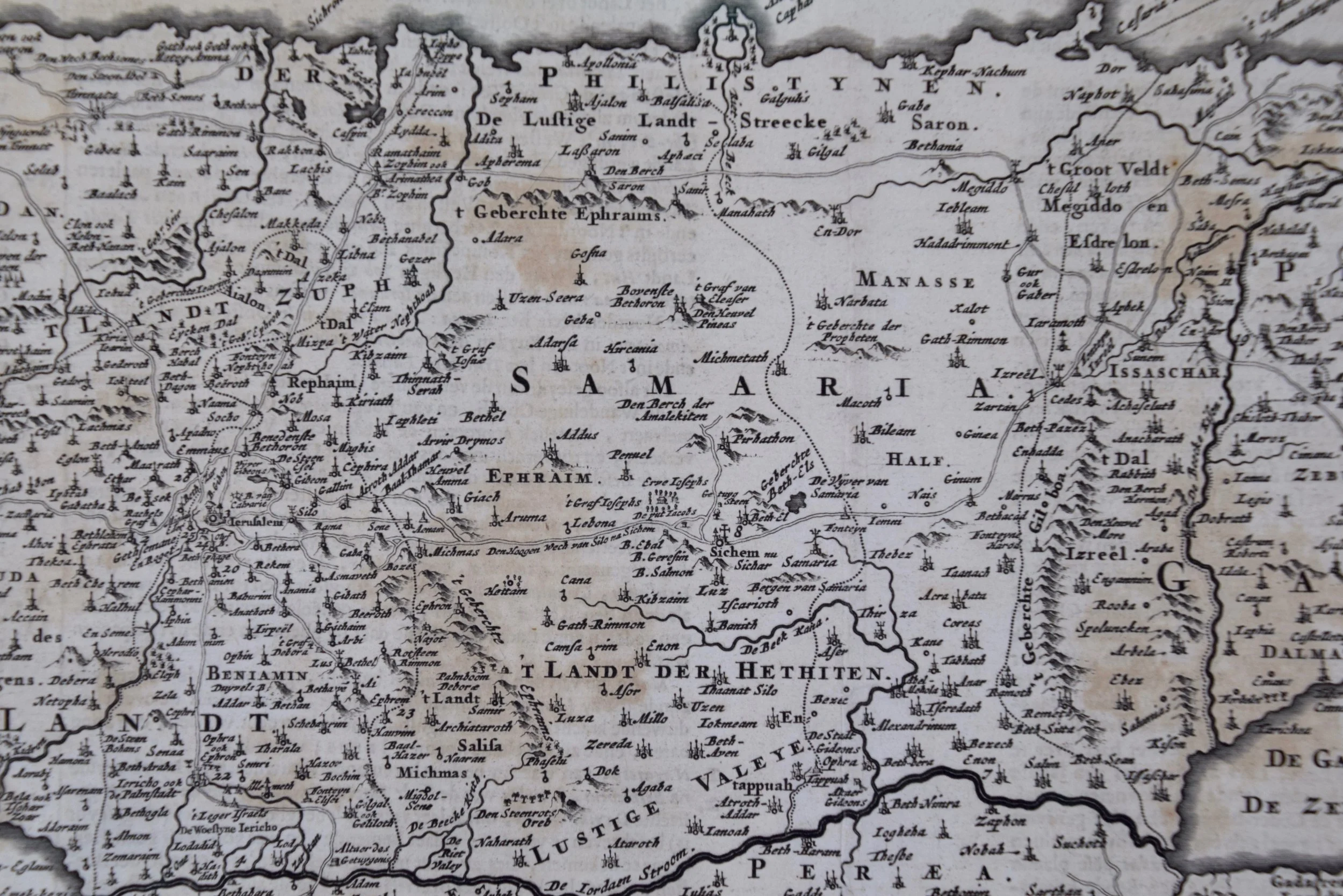
 Image 2 of 13
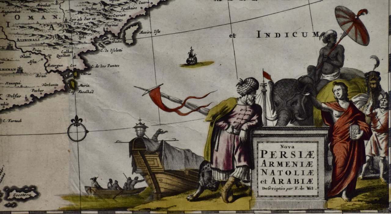 Image 3 of 13
 Image 4 of 13
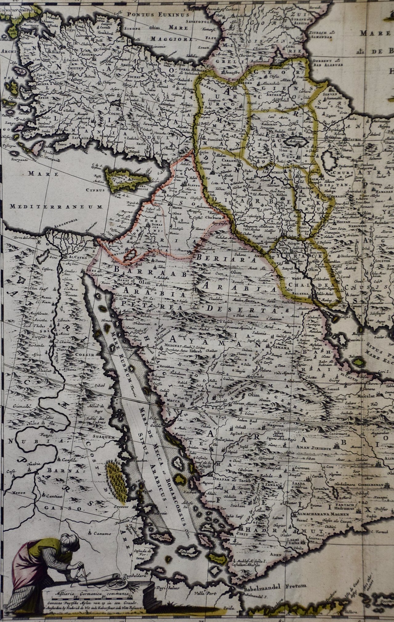 Image 5 of 13
 Image 6 of 13
 Image 7 of 13
 Image 8 of 13
 Image 9 of 13
 Image 10 of 13
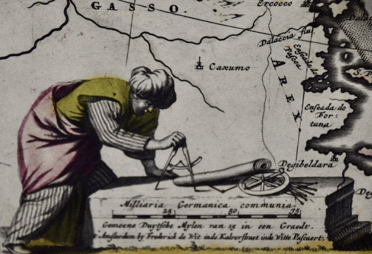 Image 11 of 13
 Image 12 of 13
 Image 13 of 13
This hand-colored map is presented in an antiqued gold-colored wood frame with an eggplant-colored fabric mat outside of museum clear, anit-glare, UV protected plexiglass. The frame measures 23.5" x 27" x 1.325". There is a central vertical fold as issued, a crease in the lower map to the right of midline and very minimal faint discoloration at the edges of the margins and a few barely visible spots. The map is otherwise in excellent condition.
Frederick De Wit (1629-1706) was an engraver, cartographer and map dealer who ran a prominent and productive printing business in Amsterdam, founded in 1654 and initially called The Three Crabs and later The White Chart. He published his first atlas in 1662. In 1695 he purchased a large collection of the plates of the prestigious Blaeu publishing business. After his death in 1706, his wife Maria continued in the business for four years before selling it at the auction. A majority of the plates were purchased by Pieter Mortier. His thriving and growing business eventually became Covens & Mortier, one of the largest and most successful cartography and printing businesses of the eighteenth century.