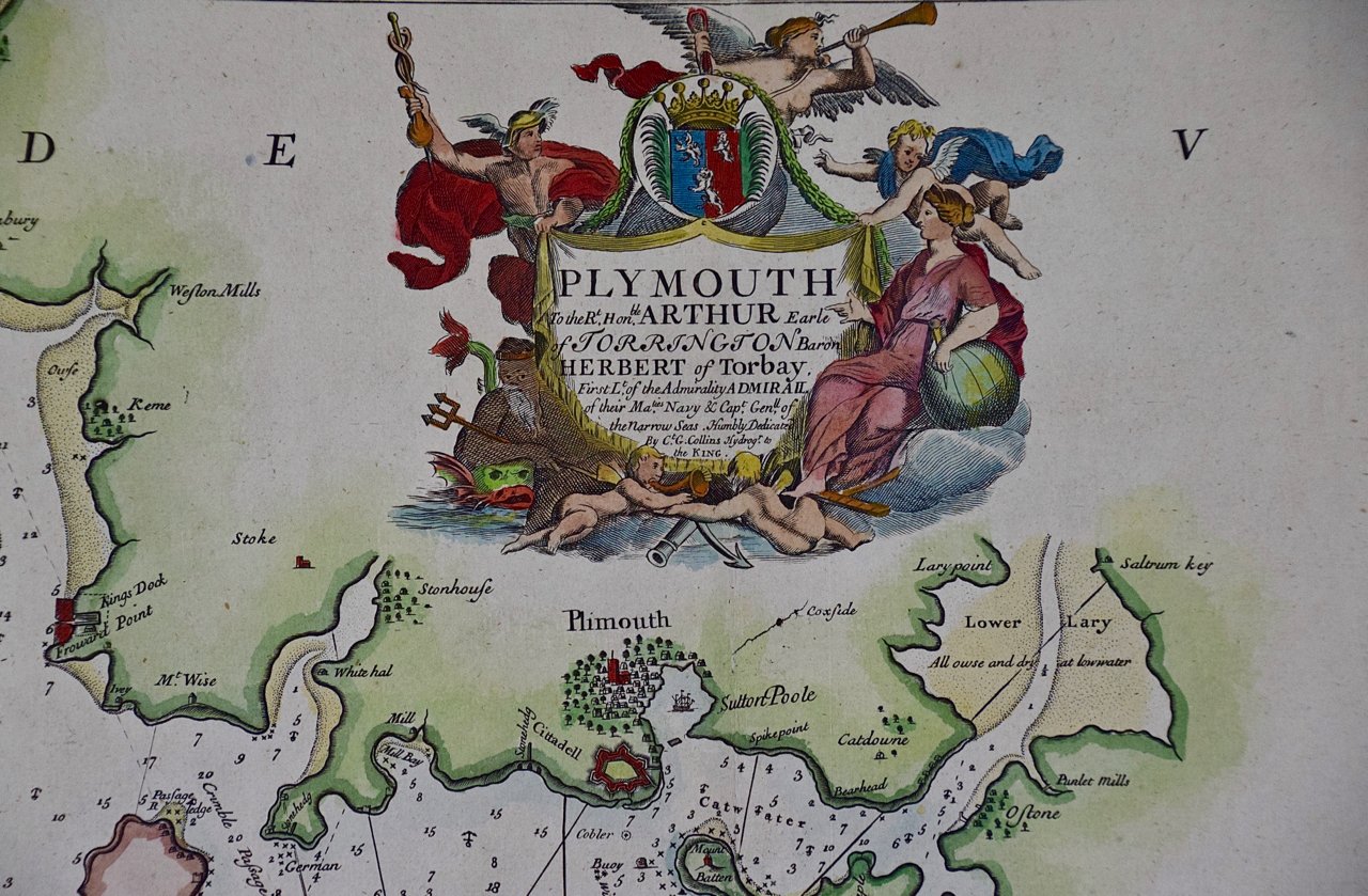
Image 1 of 11
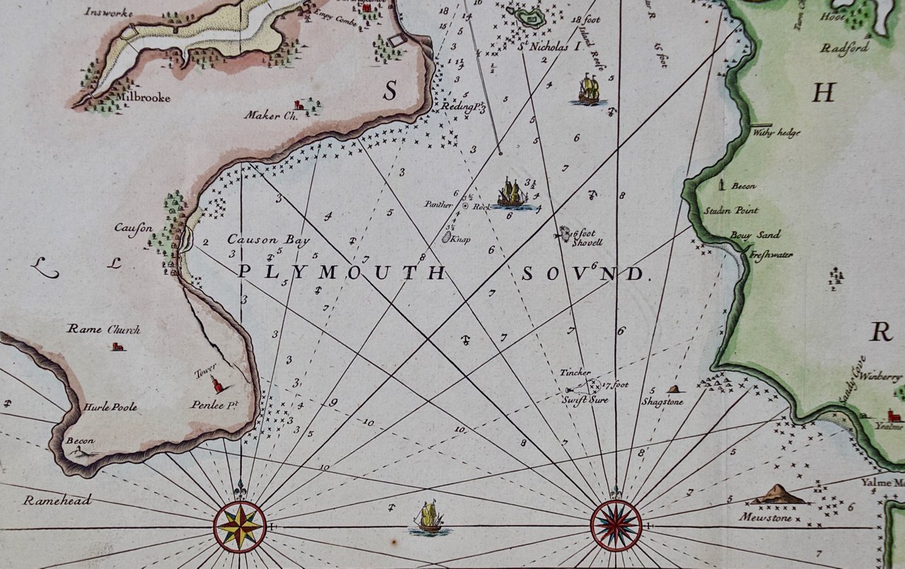
 Image 2 of 11
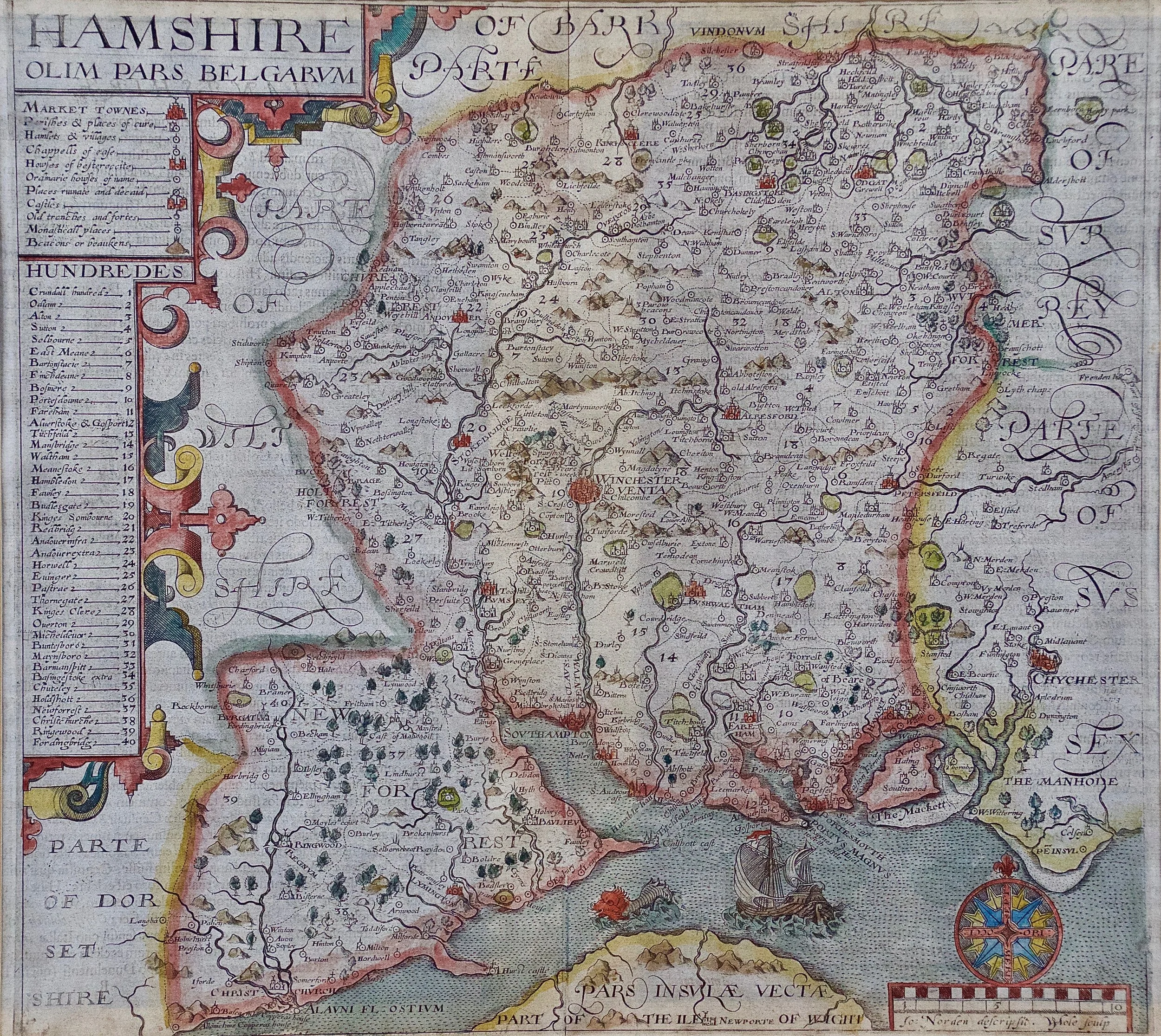
 Image 3 of 11
 Image 4 of 11
 Image 5 of 11
 Image 6 of 11
 Image 7 of 11
 Image 8 of 11
 Image 9 of 11
 Image 10 of 11
 Image 11 of 11
The map is presented in a large attractive brown wood frame with red interior trim and gold highlight along the forward edge. There is a horizontal central fold, as issued. There is mild color offset from the opposite side of the map resulting from it residing folded in an atlas, possibly for hundreds of years, as it is now 340 years old. There are small faint spots, but the map is otherwise in very good condition.
Frederick De Wit (1629-1706) was an engraver, cartographer and map dealer who ran a prominent and productive printing business in Amsterdam, founded in 1654 and initially called The Three Crabs and later The White Chart. He published his first atlas in 1662. In 1695 he purchased a large collection of the plates of the prestigious Blaeu publishing business. After his death in 1706, his wife Maria continued in the business for four years before selling it at the auction. A majority of the plates were purchased by Pieter Mortier. His thriving and growing business eventually became Covens & Mortier, one of the largest and most successful cartography and printing businesses of the eighteenth century.