Image 1 of 8
 Image 2 of 8
 Image 3 of 8
 Image 4 of 8
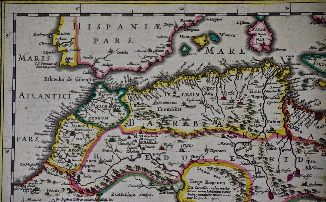 Image 5 of 8
 Image 6 of 8
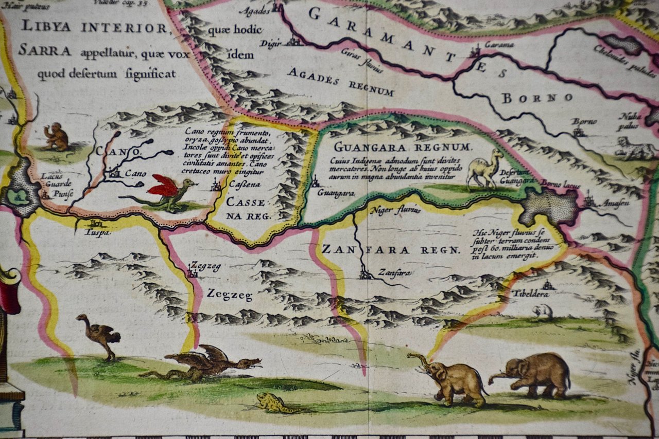 Image 7 of 8
 Image 8 of 8
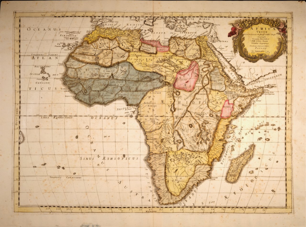
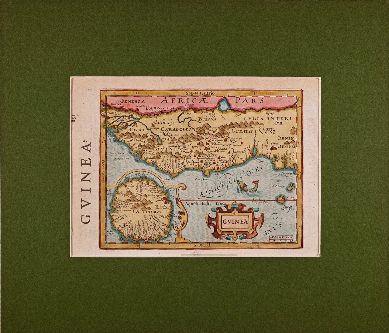
The map is presented in a green mat, which pairs well with the colors of the map. The mat measures 29" x 22.38" and the map sheet measures 23.75" x 20.25". There is a central fold, as issued. The map is in excellent condition.
Johannes Janssonius (1588-1664), also known as Jan Janszoon and Jan Jansson, was a Dutch cartographer and publisher who lived and worked in Amsterdam. He grew up in the book business. He married the daughter of the famous Dutch cartographer Jodocus Hondius and became a book publisher in Amsterdam. He later went into the book and map publishing business with his brother-in-law Henricus Hondius. In addition to their own maps, they published several editions of the famous Mercator/Hondius atlas. Jansson was responsible for expanding their company, publishing several world and city atlases in competition with the Blaeu publishing family, also in Amsterdam. Jansson's most prominent works include the "Atlas Novus" (1638), the "Atlas Majoris Appendix" (1639) and his huge eleven volume "Atlas Major" (1647).