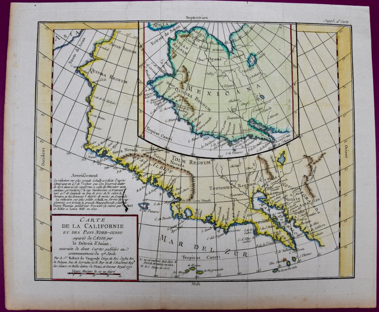
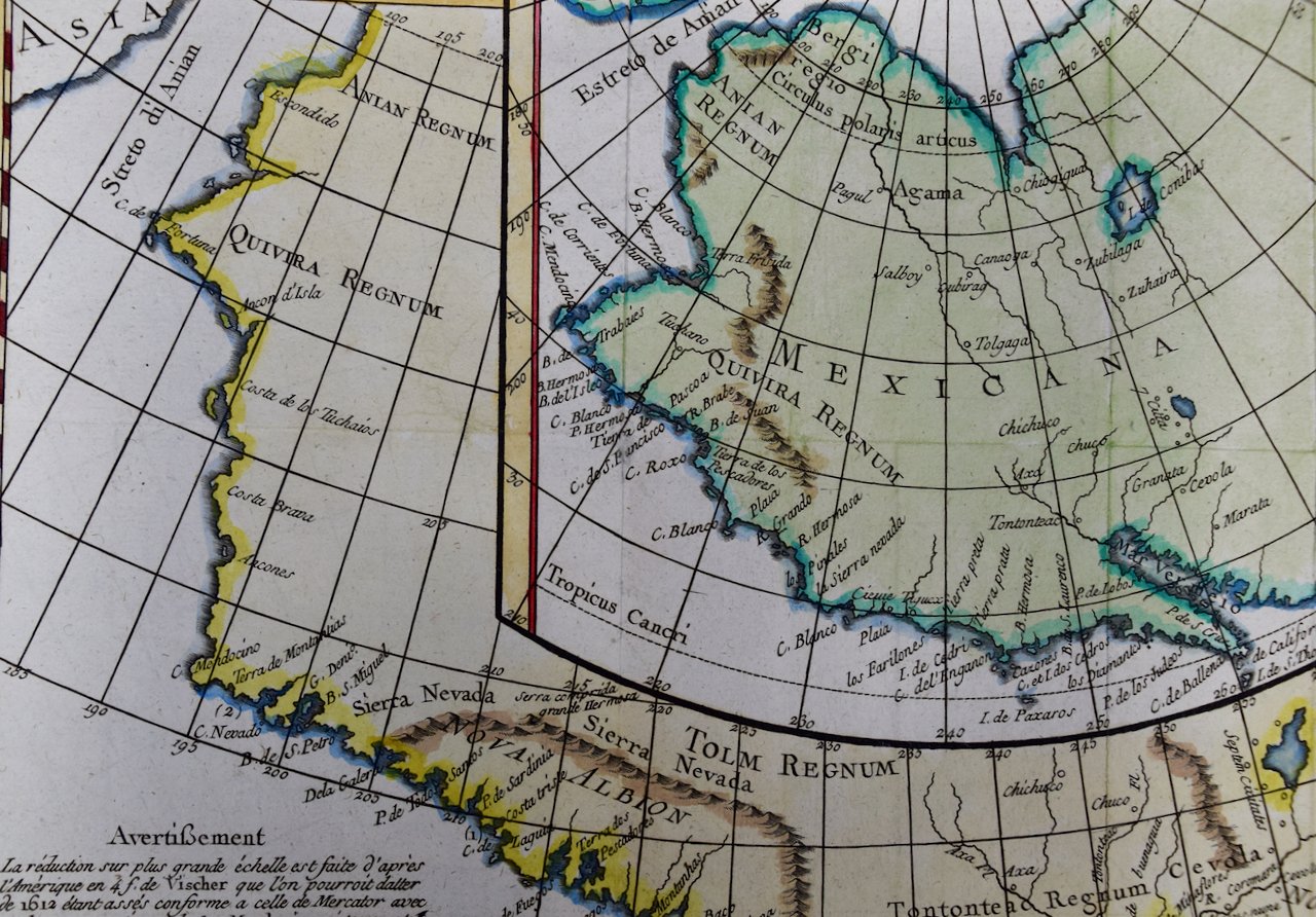
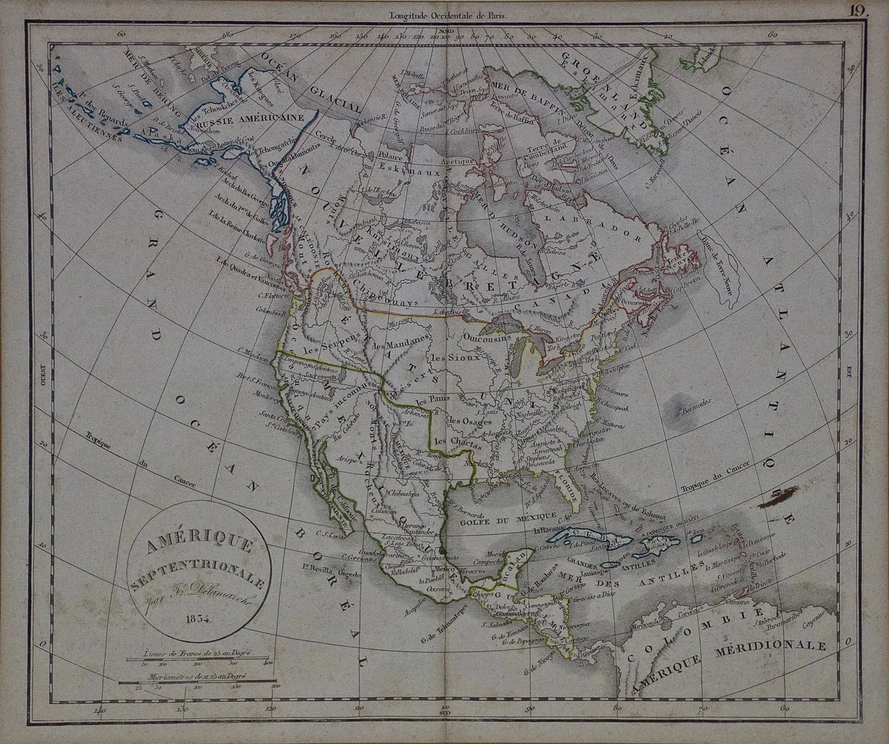
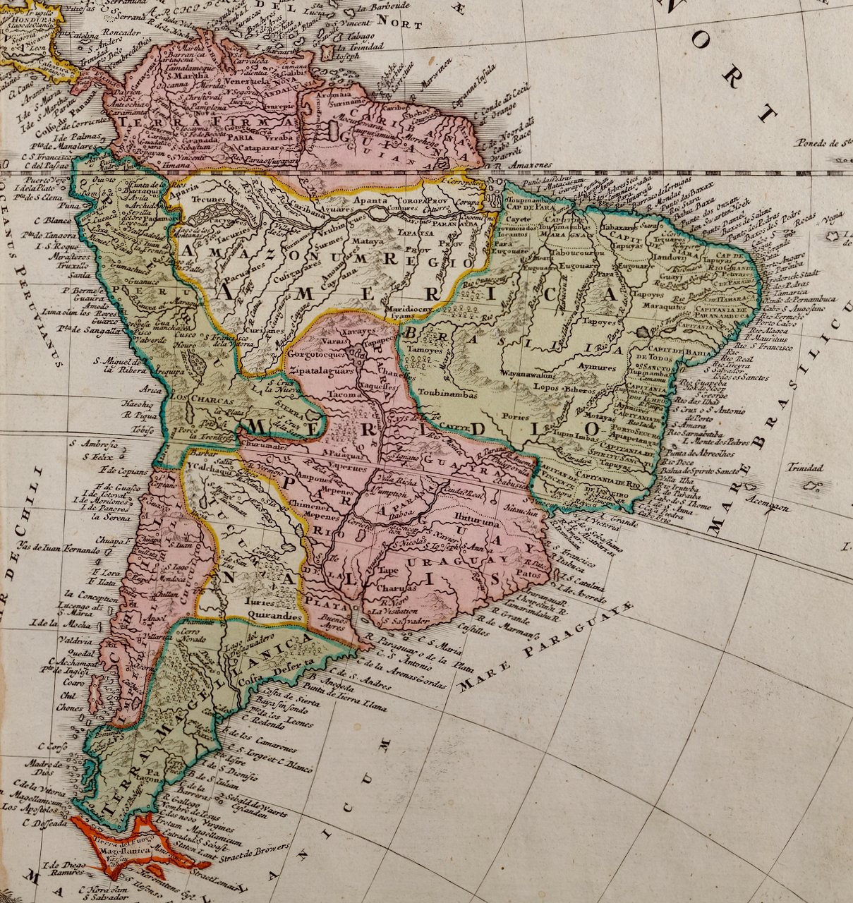
Image 1 of 6
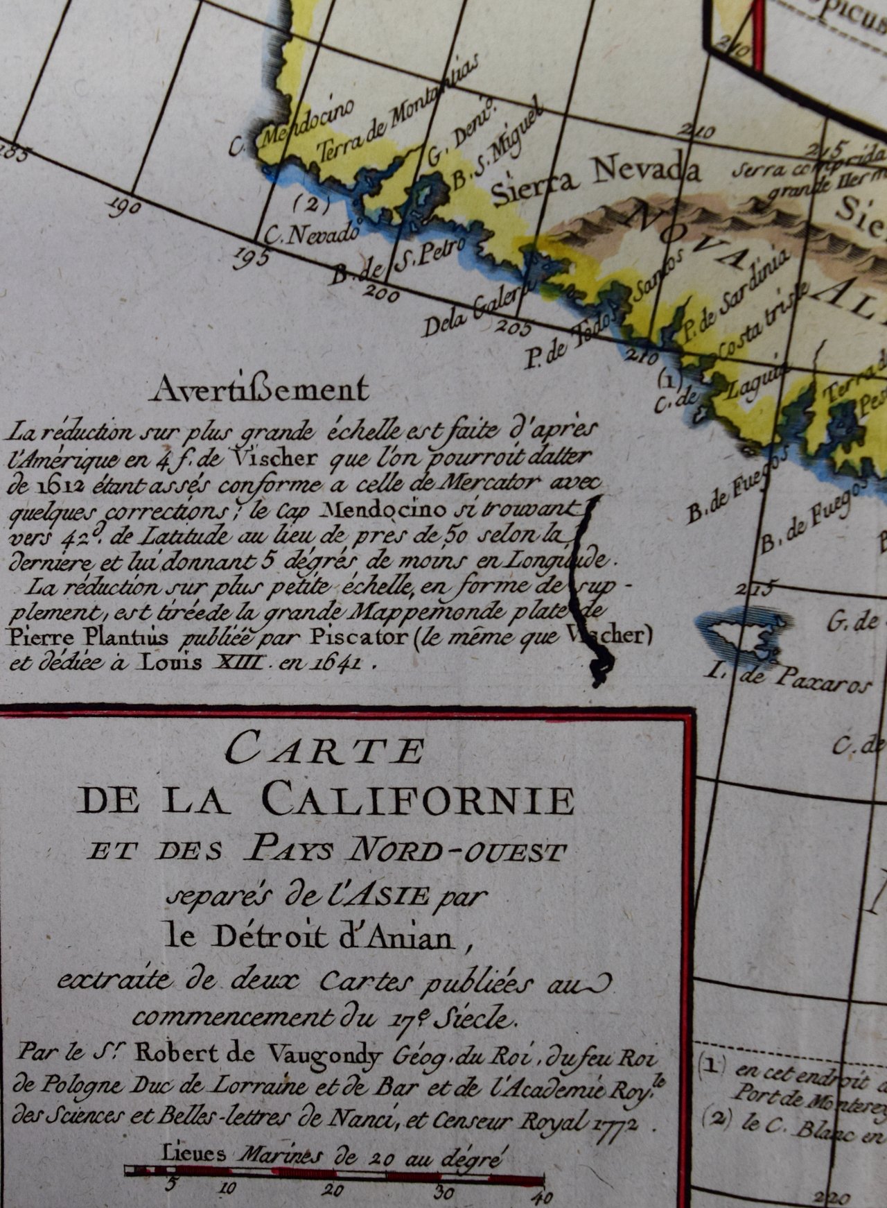
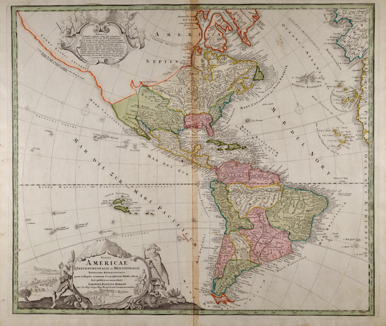
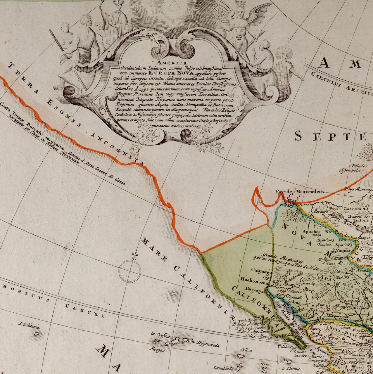
 Image 2 of 6
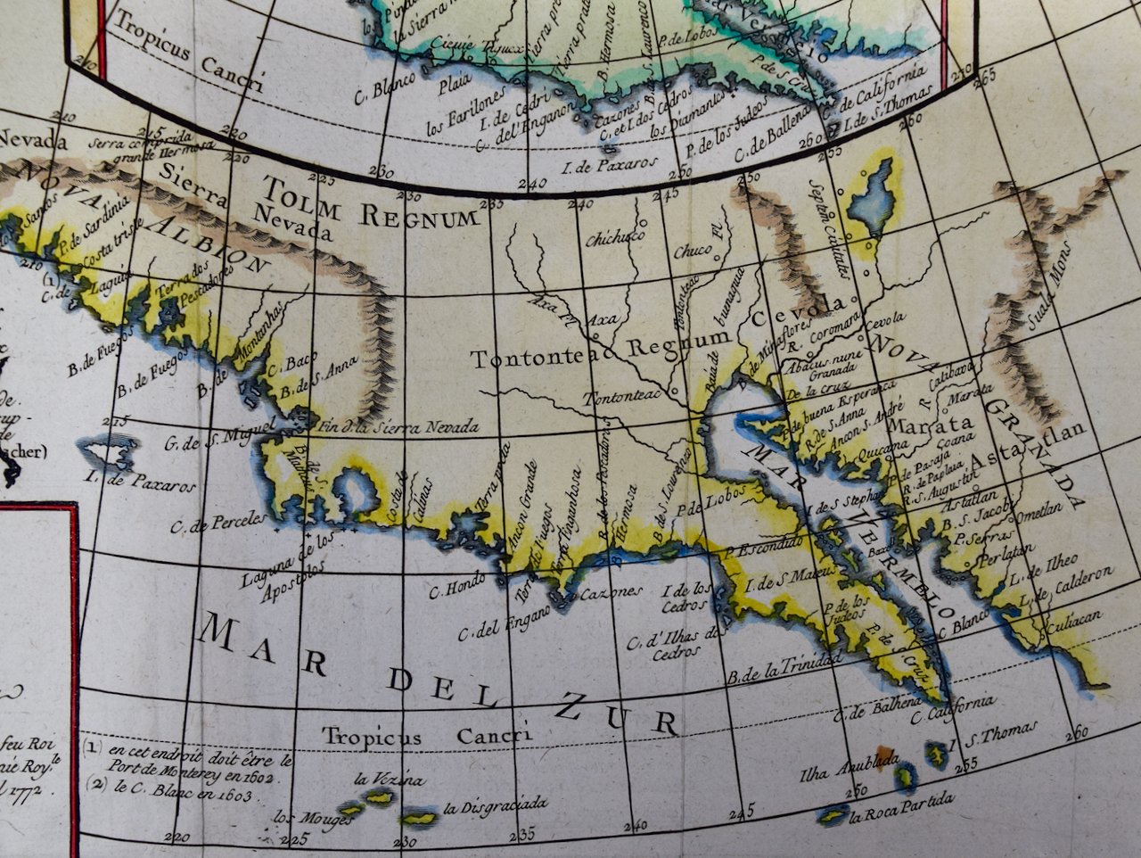
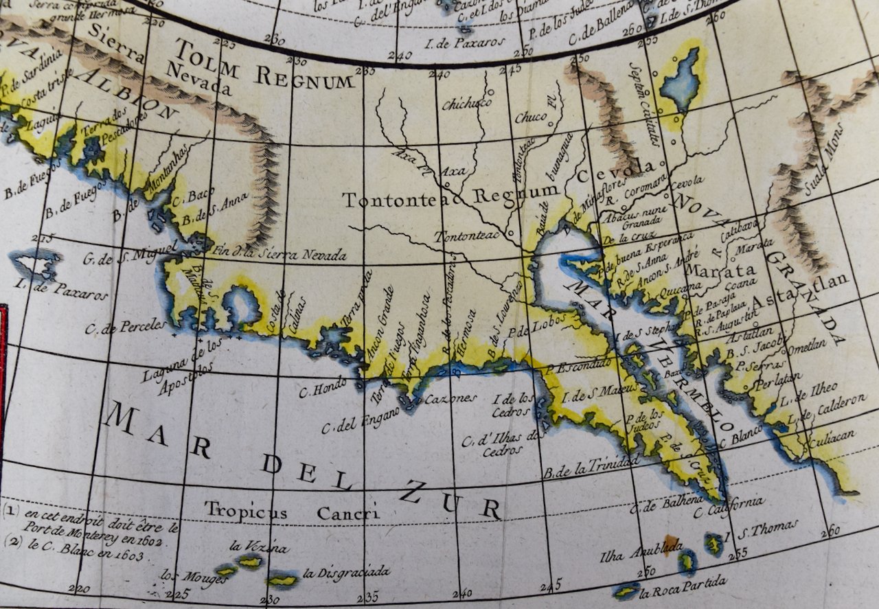
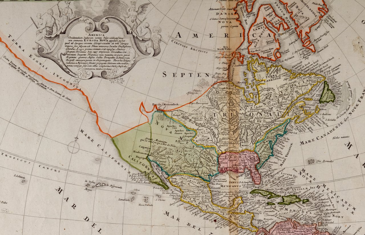
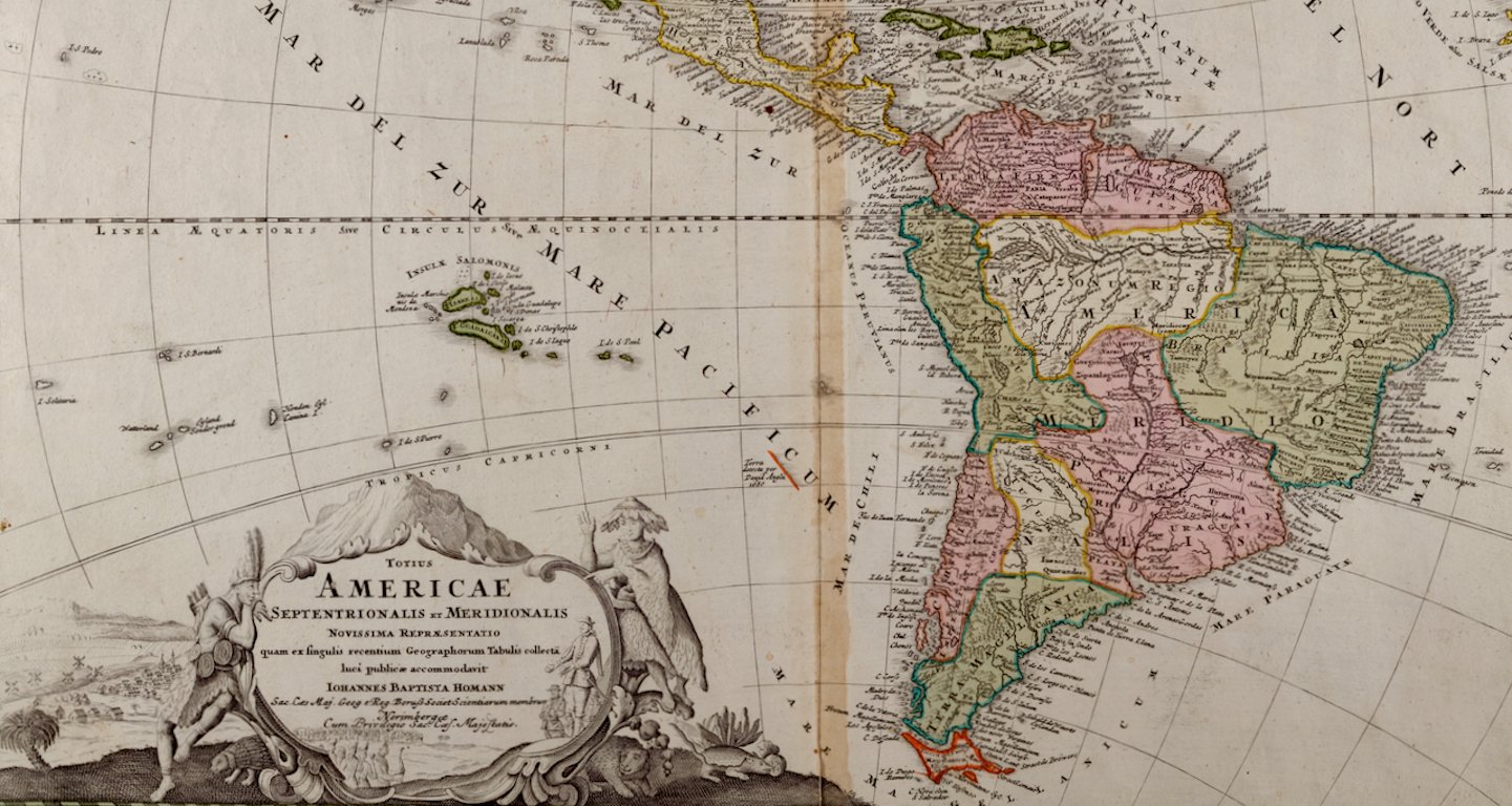
 Image 3 of 6
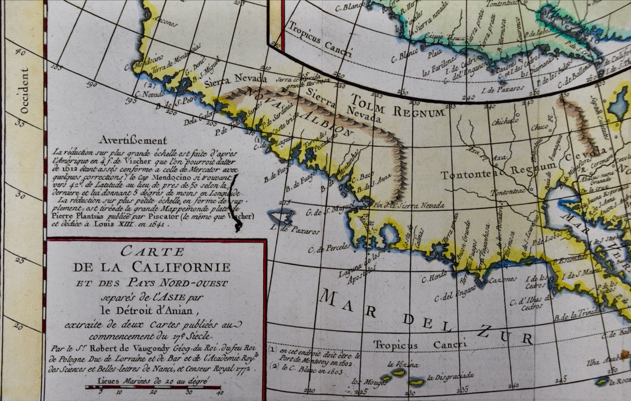
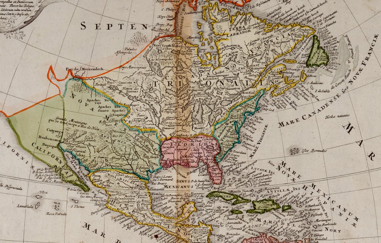
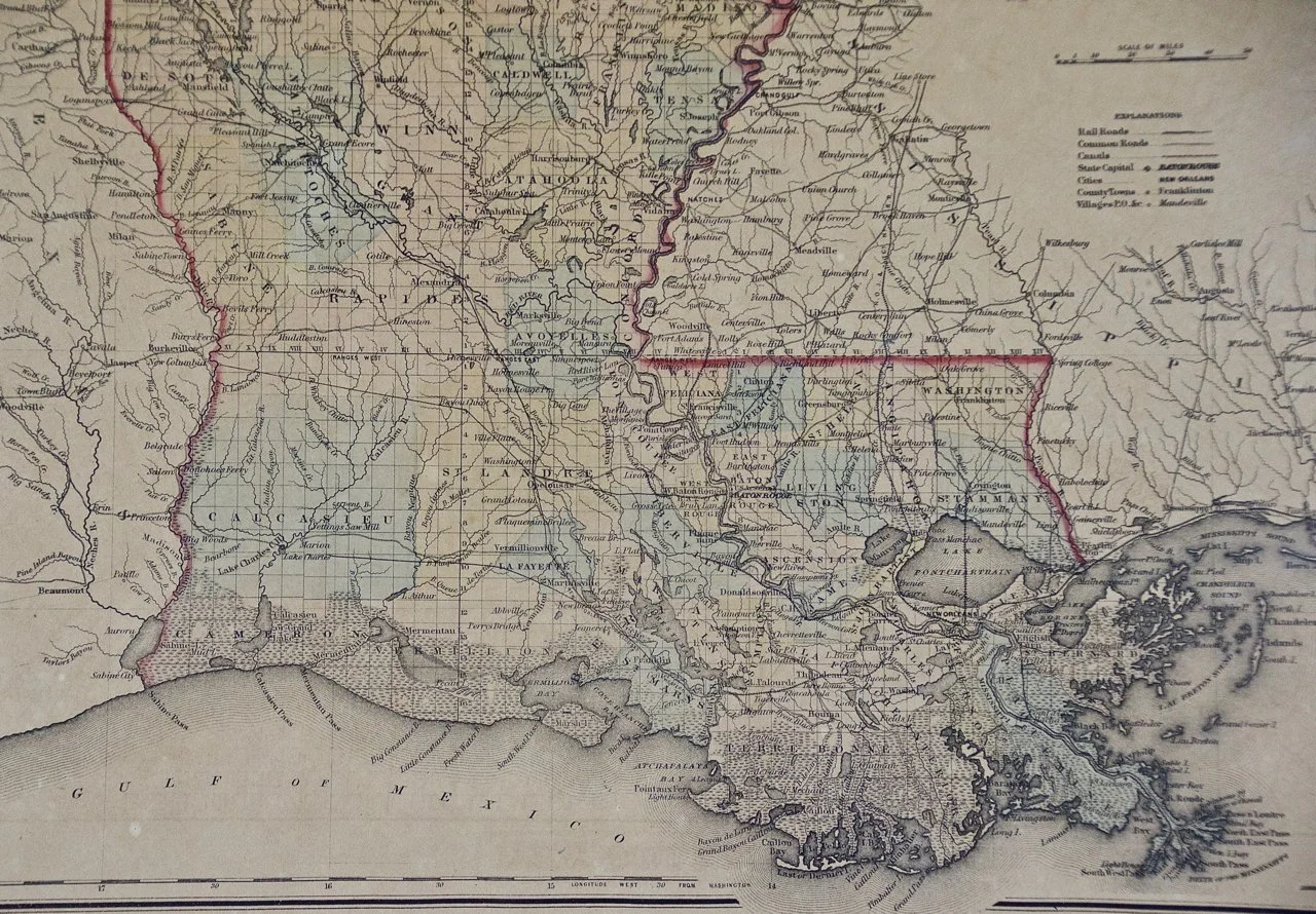 Image 4 of 6
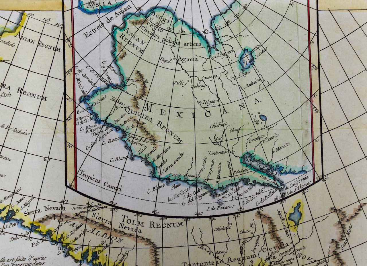
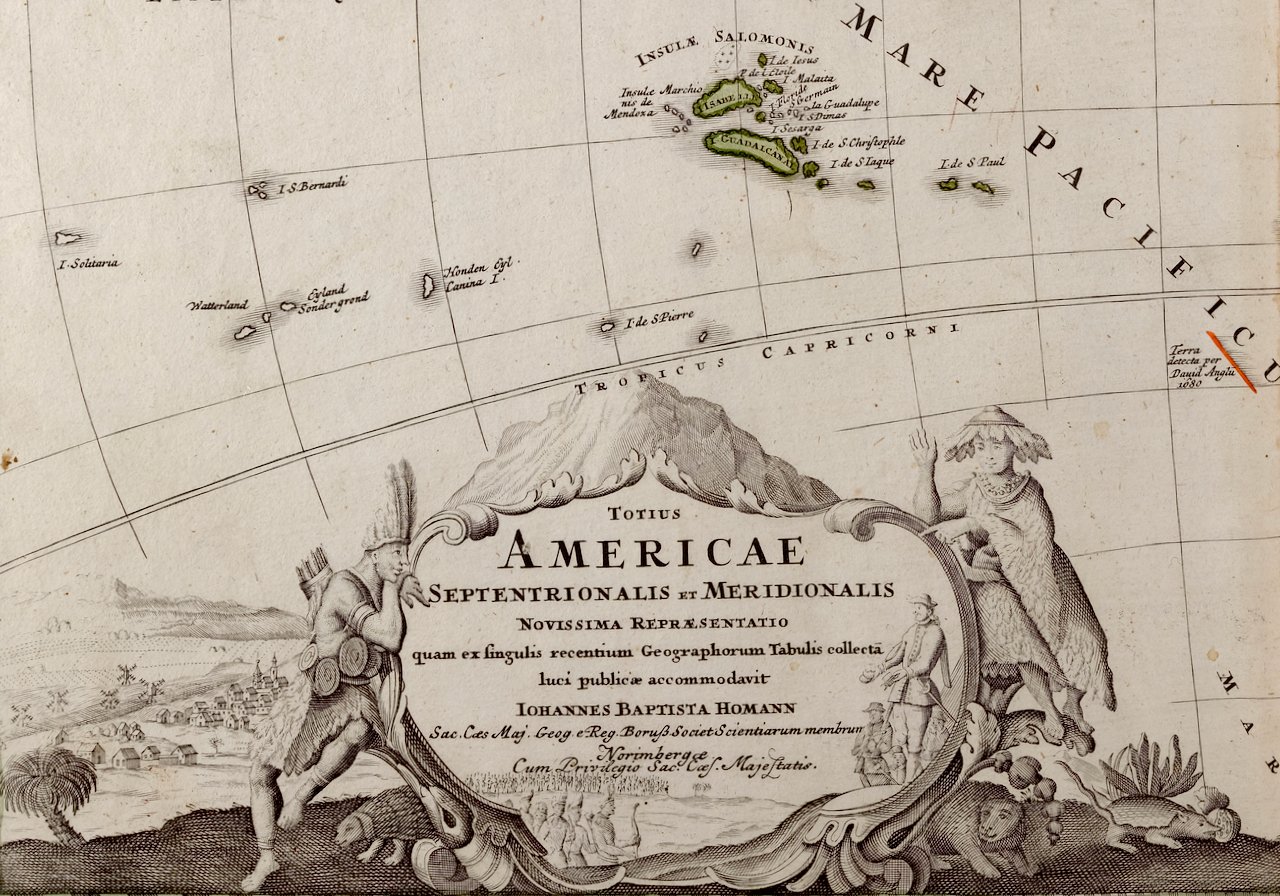
 Image 5 of 6
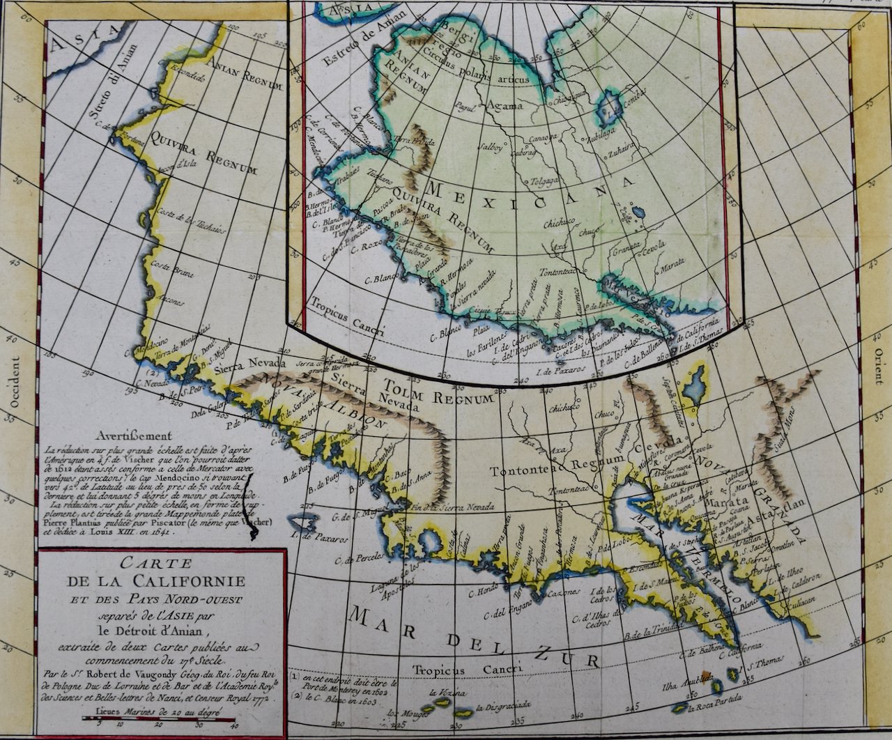
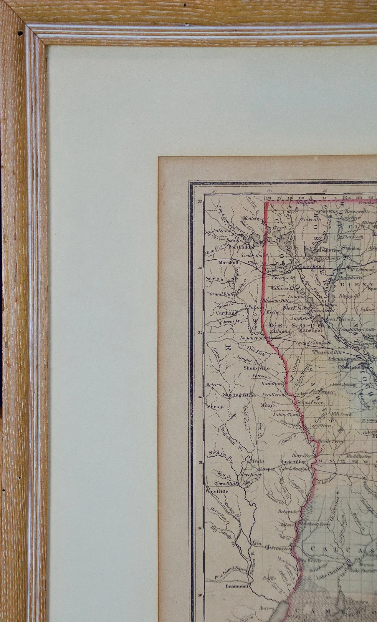 Image 6 of 6
The map is presented in a light brown distressed bleached wood frame with a cream mat. The frame measures 22.63" wide x 20" high x 0.88" deep. The map is somewhat toned, although the appearance appears in part to be related to its tinting. It is otherwise in very good condition.