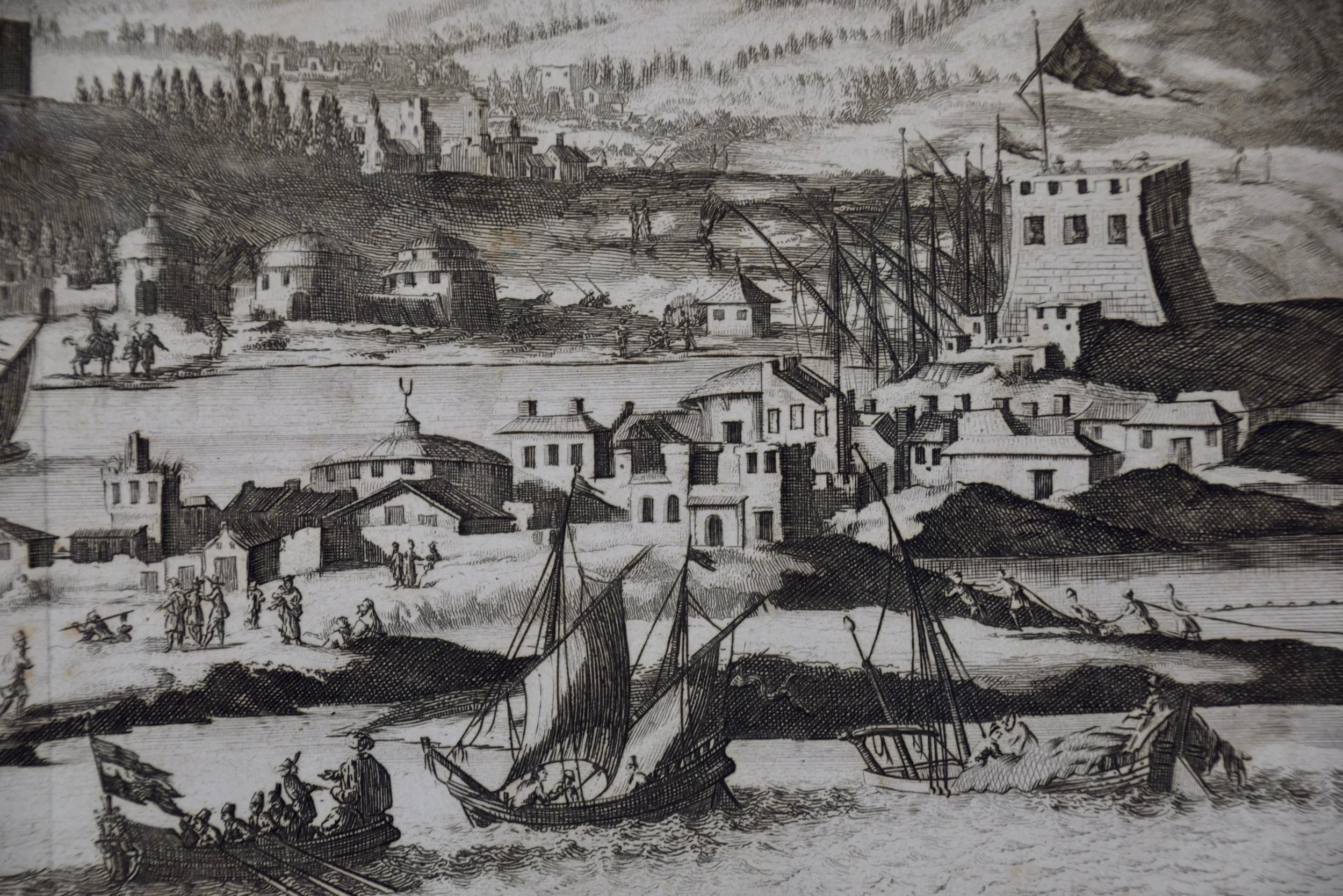
Image 1 of 5
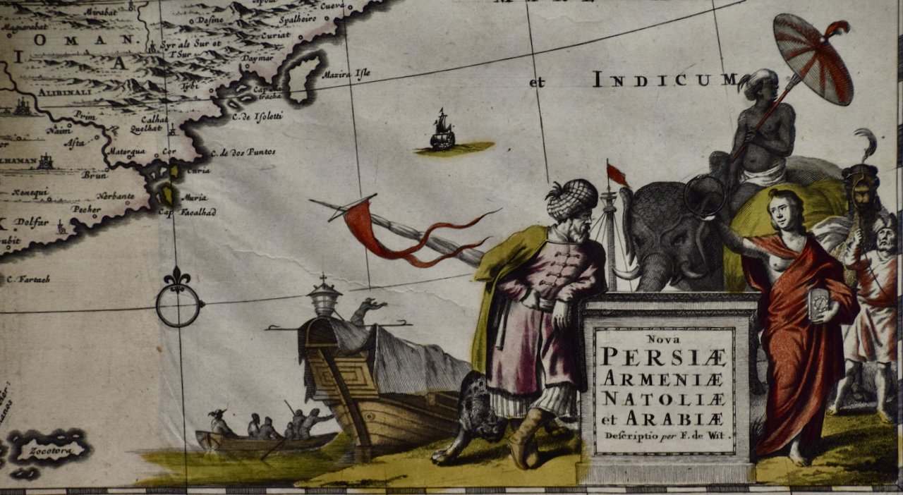
 Image 2 of 5
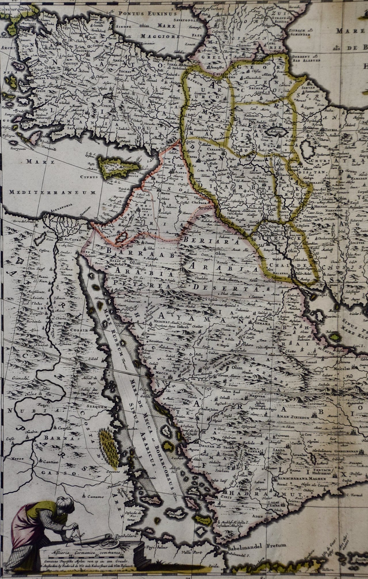
 Image 3 of 5
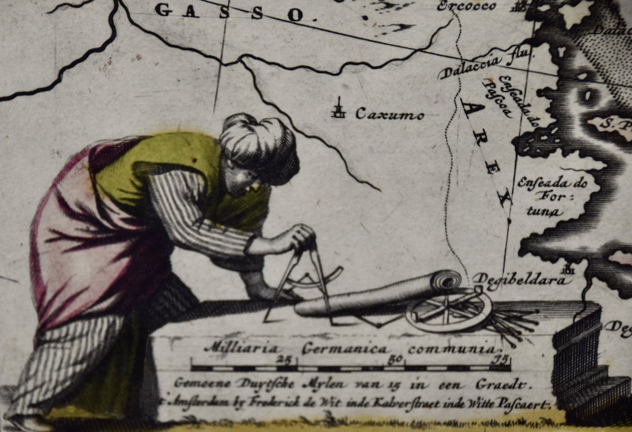
 Image 4 of 5
 Image 5 of 5
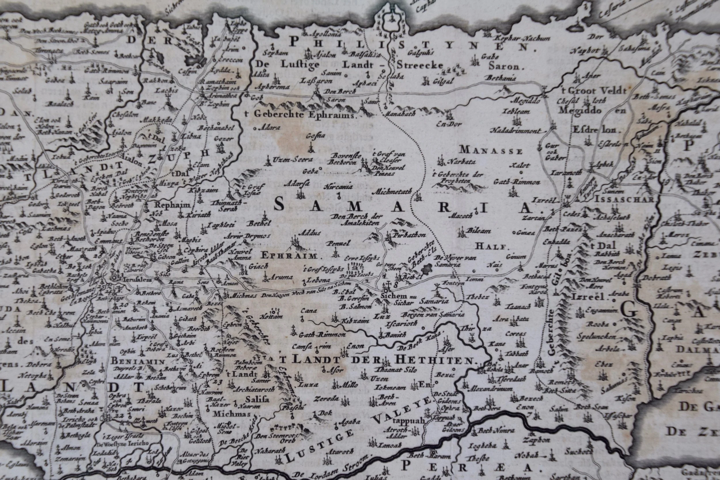
The map is hand-colored in outline. It is presented in a brown wood frame. The frame measures 27" x 21.38" x 0.75". There are areas of discoloration in the sheet margins, most prominently on the right. The map itself is in very good condition.
Pierre M. Lapie (fl. 1779 - 1850) and his son Alexandre Emile Lapie (fl. 1809 - 1850) were French cartographers and engravers as well as officers in the French army. Alexander carried the title of "First Geographer to the King".