Image 1 of 8
 Image 2 of 8
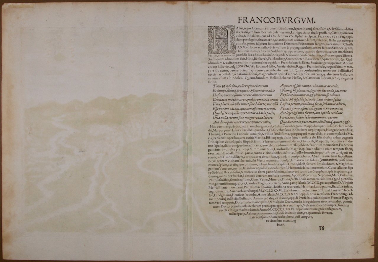
 Image 3 of 8
 Image 4 of 8
 Image 5 of 8
 Image 6 of 8
 Image 7 of 8
 Image 8 of 8
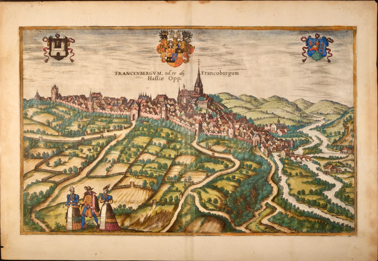
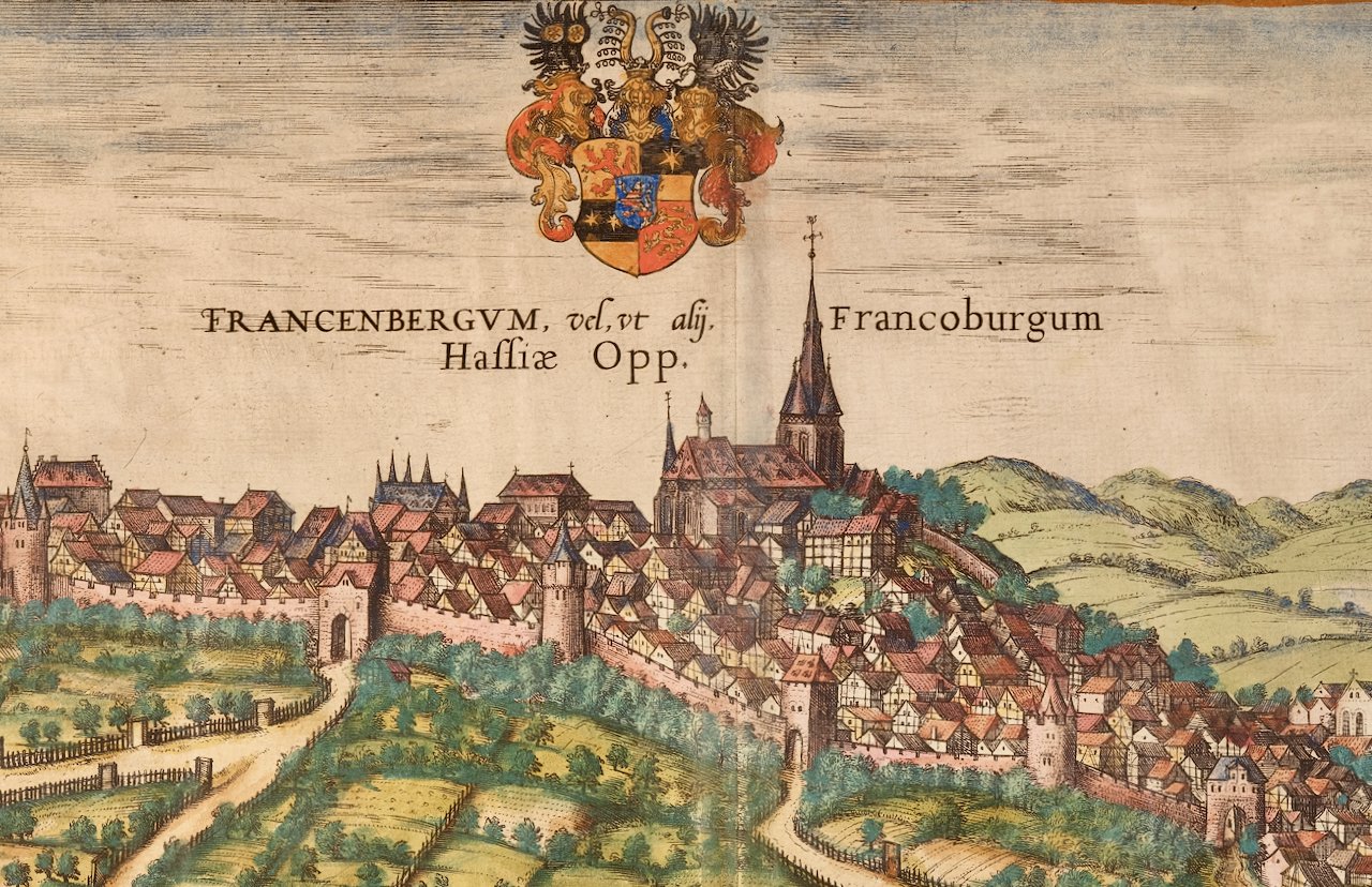
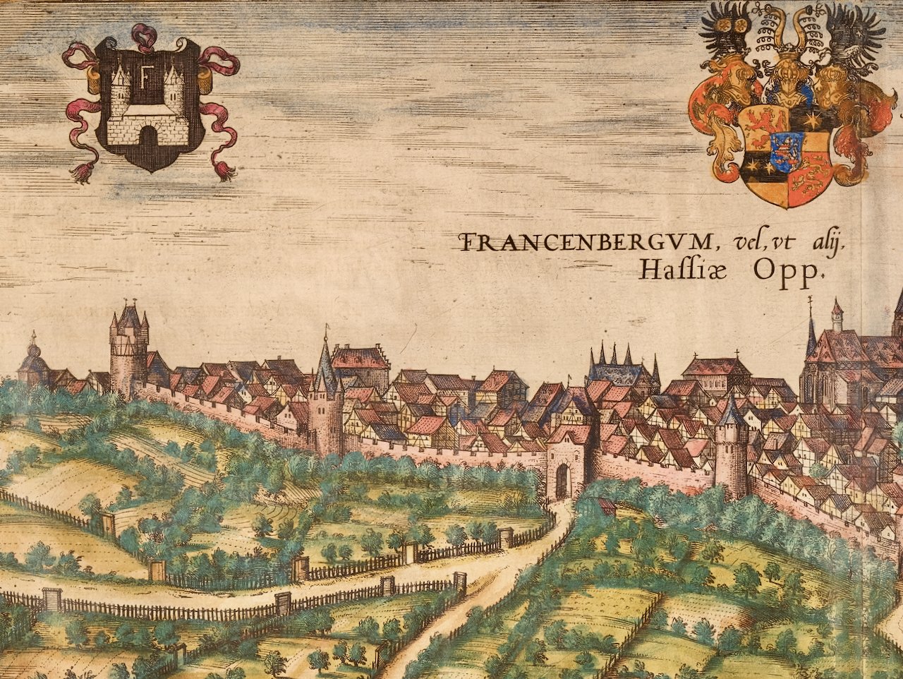
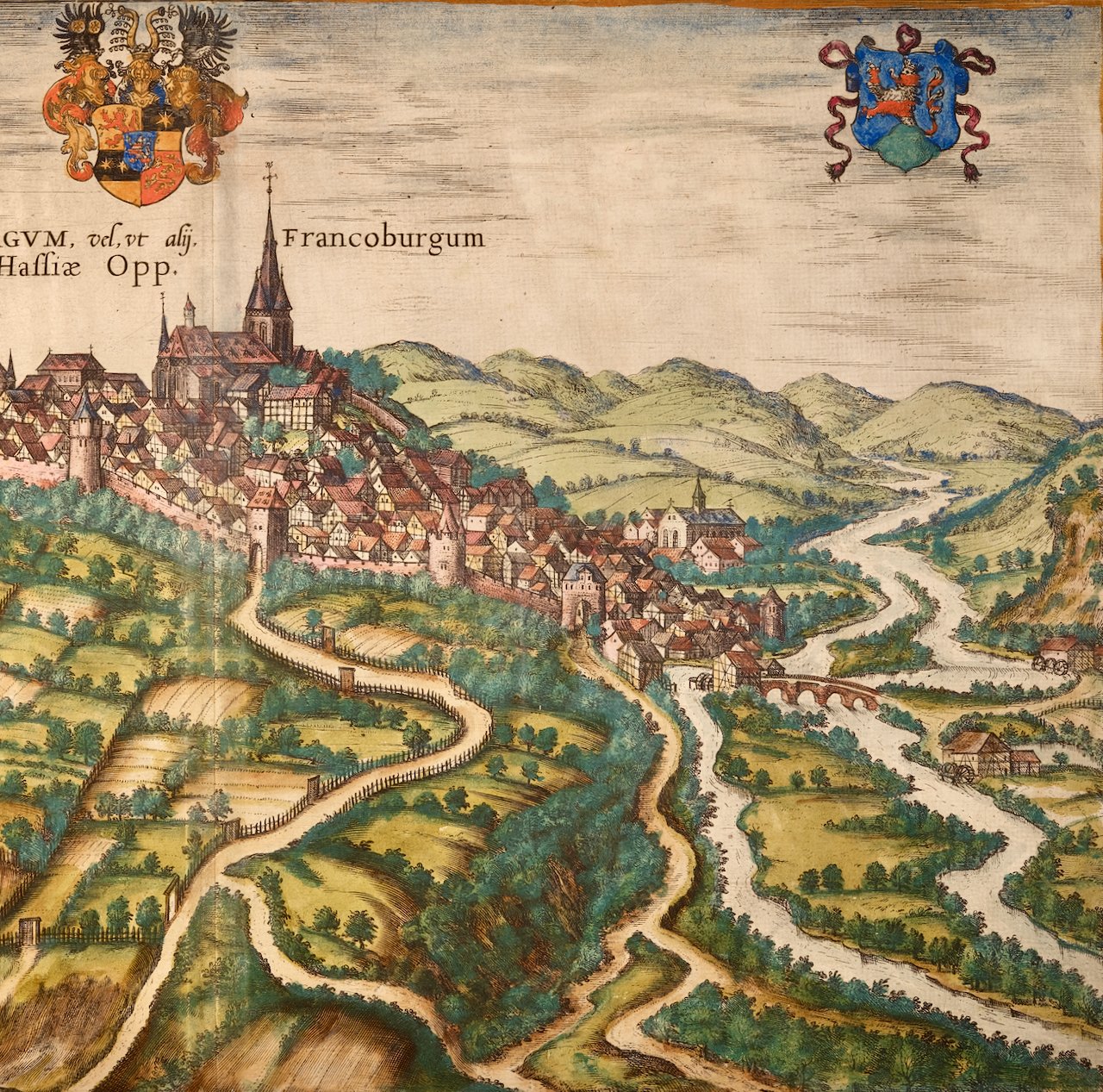
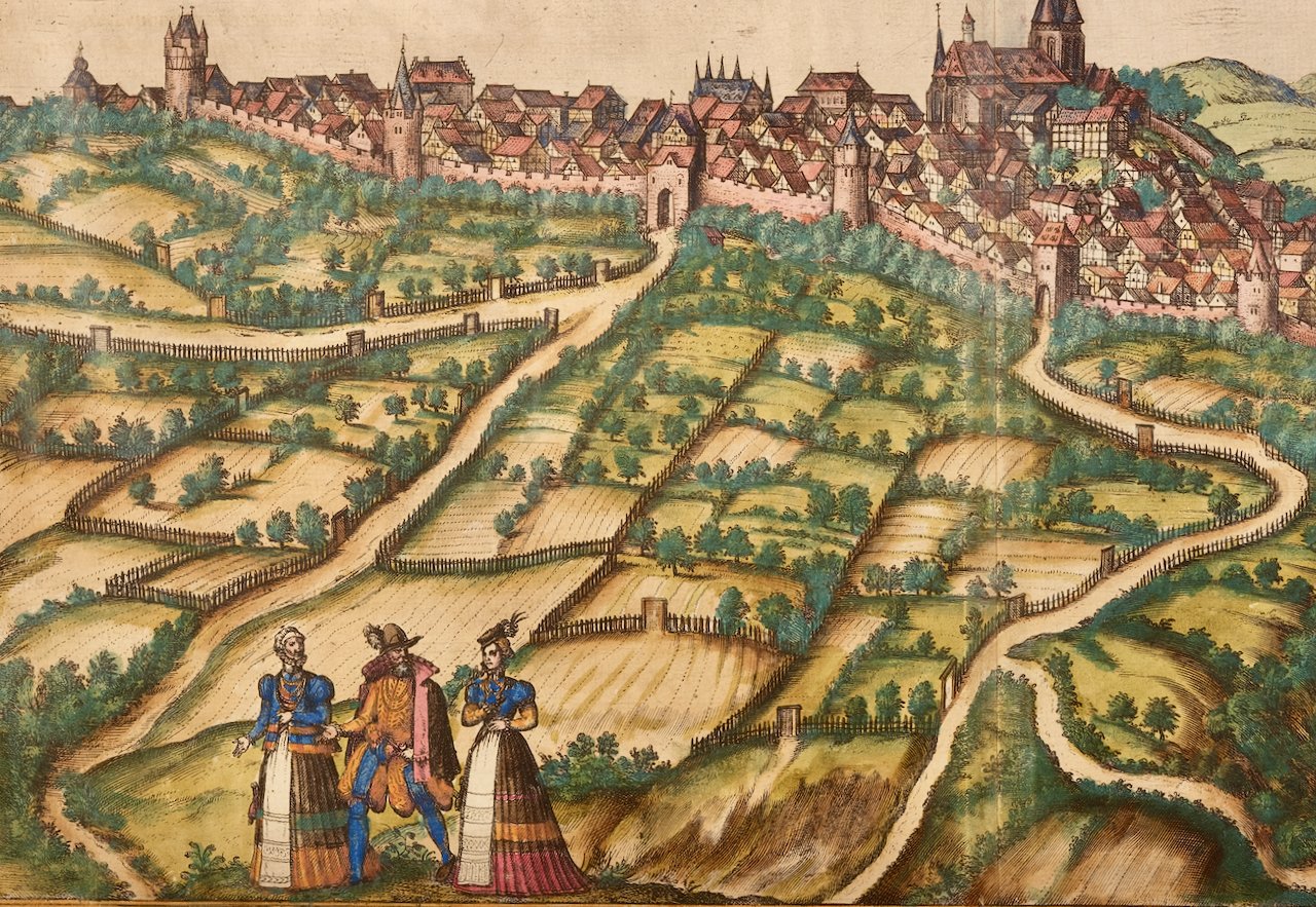
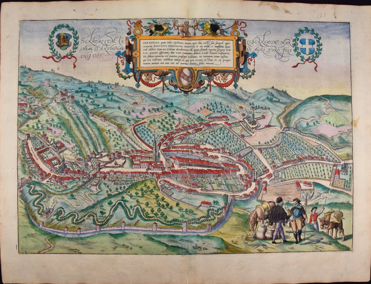
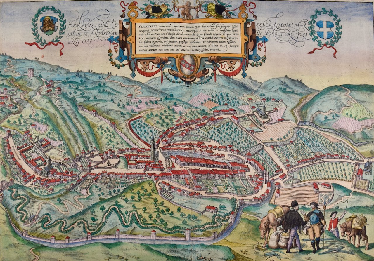
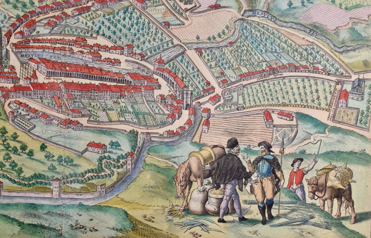
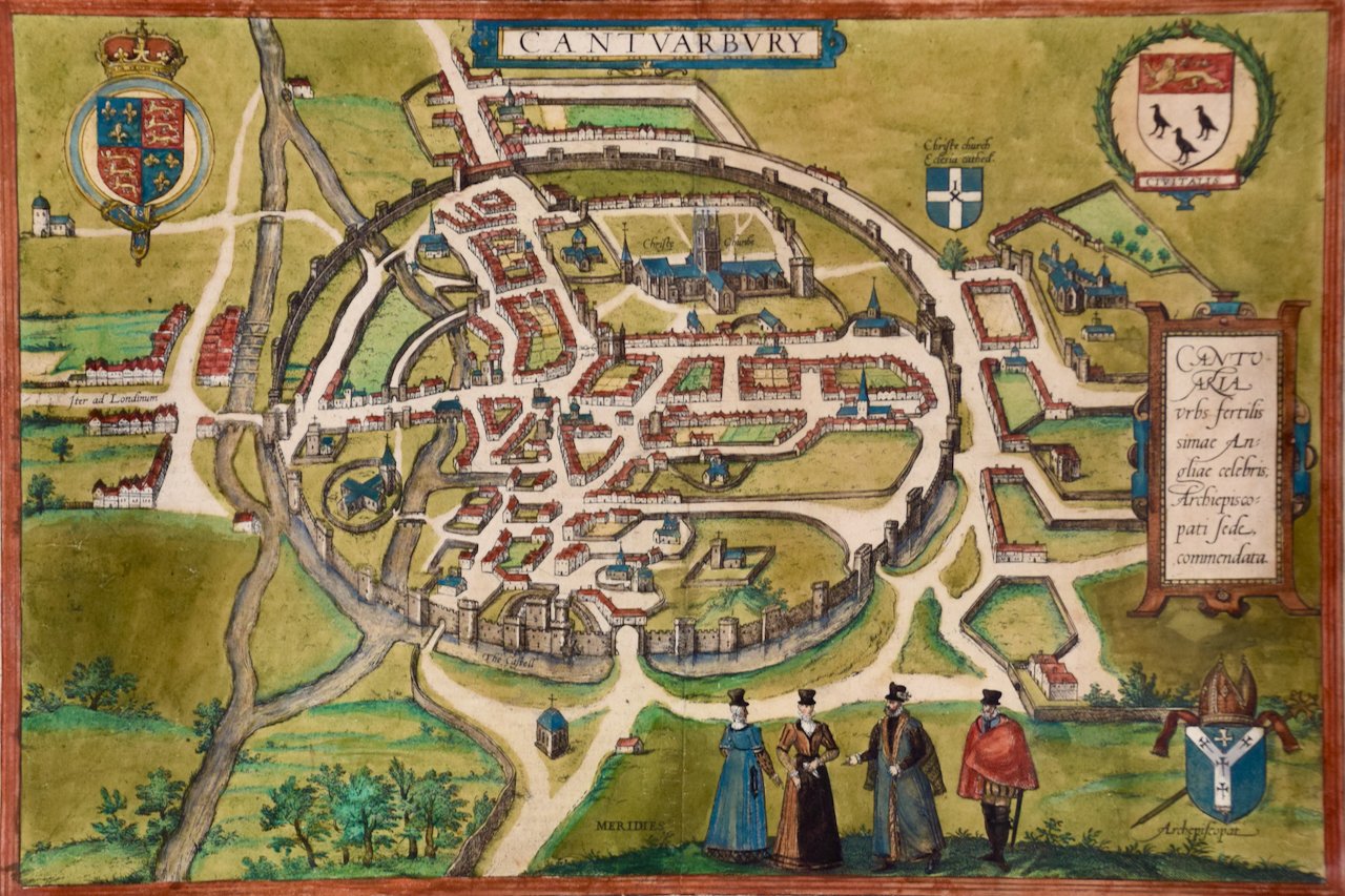
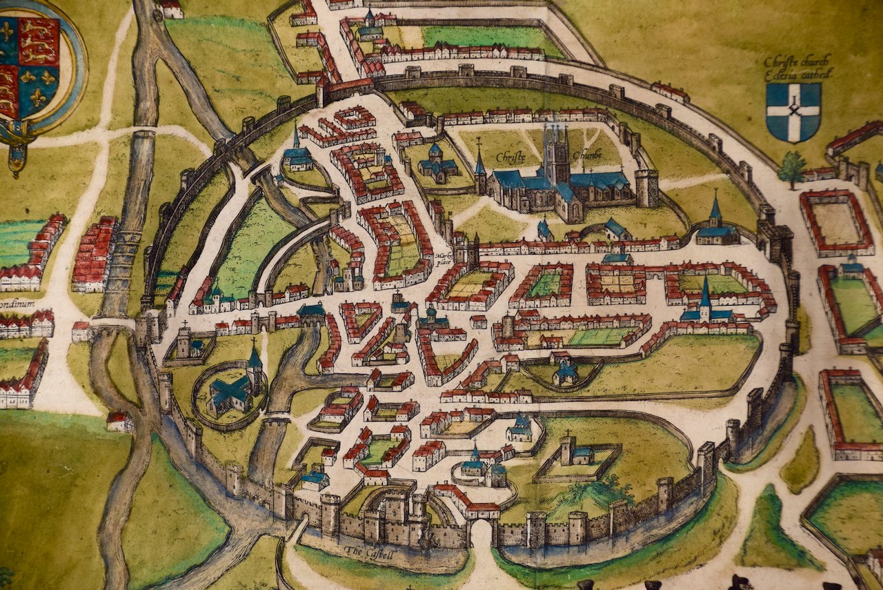
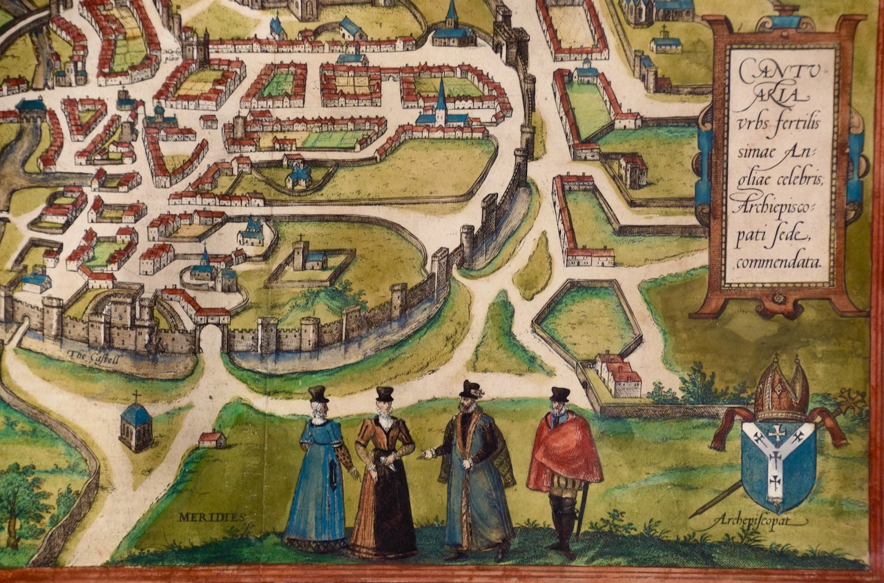
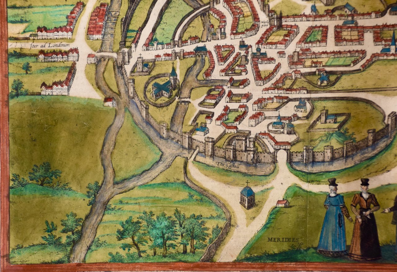
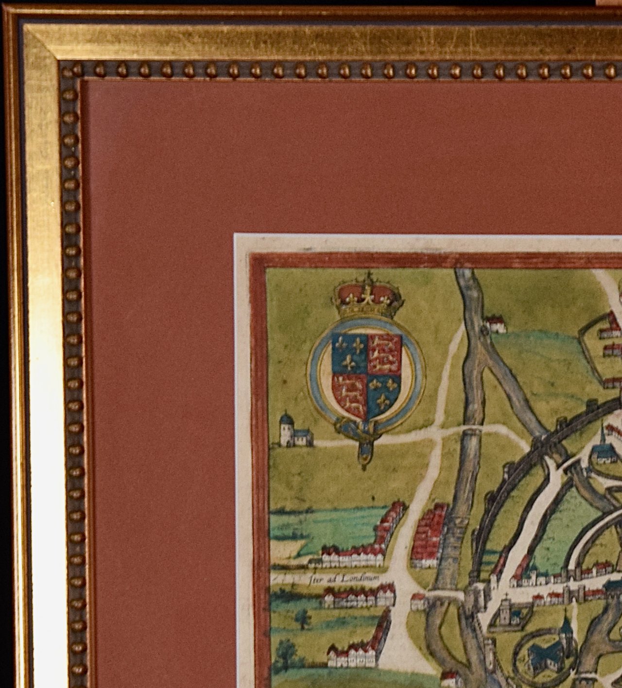
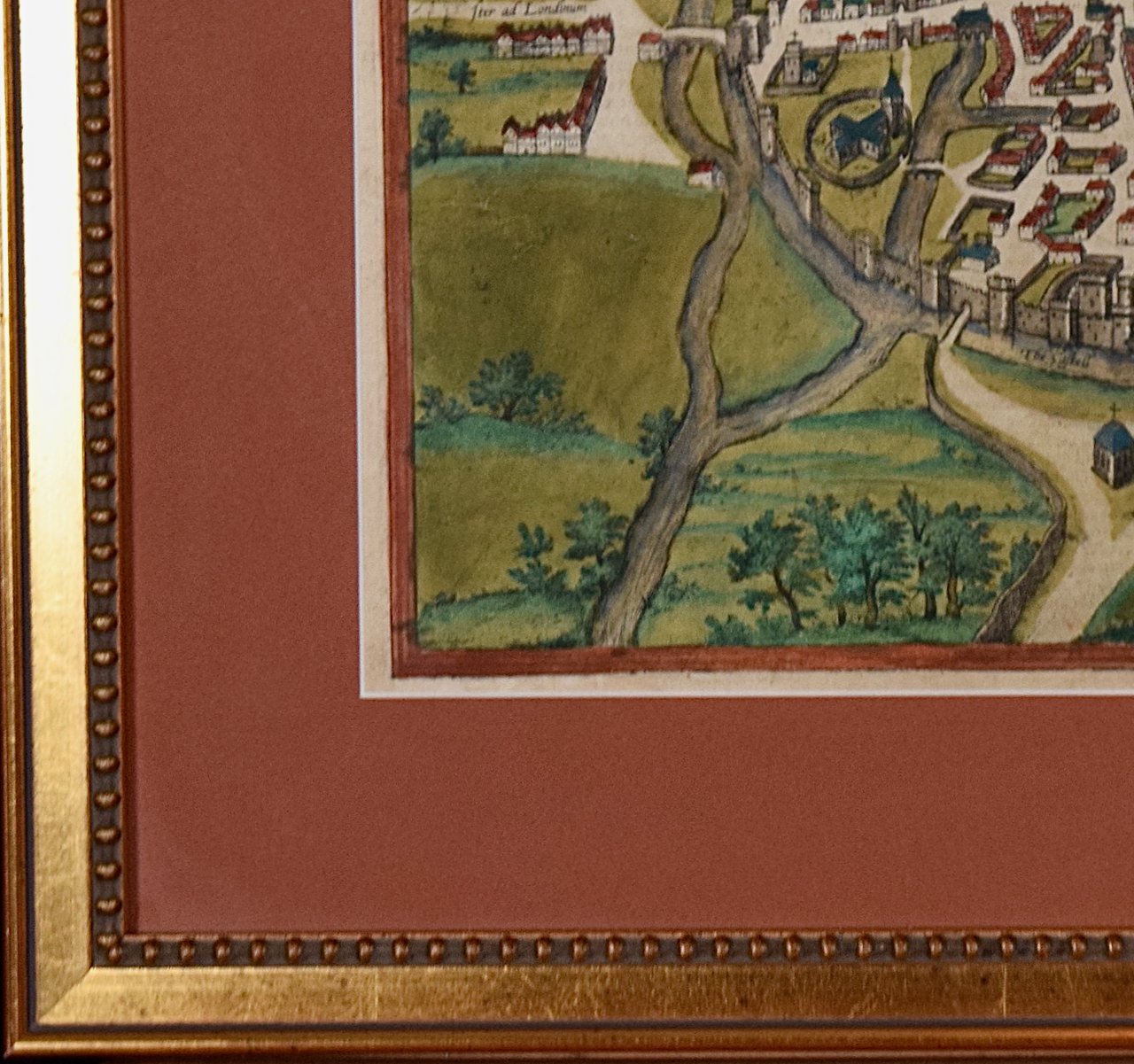
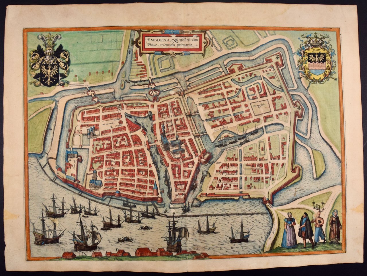
The double-page extensively colored engraving's title is displayed on flowing ornamental streamers, as would be found waving from an ancient knight's lance. Putti flank a colorful coat of arms. It is presented in a silver frame with a hand colored pale green French mat with a cranberry-colored highlight band. There is a vertical center fold, as issued. The map is in excellent condition. There are small abrasions and chips to the frame.
Provenance: Thomas J. Perkins (1932-2016), San Francisco, and Belvedere, CA, was the Co-Founder Kleiner Perkins & Byers Venture Capital and often referred to as the father of Silicon Valley. He was on the Board of Directors of Hewlett-Packard, Genentech, Compaq, Applied Materials, Philips Electronics, Corning Glass and News Corp. and served as chairman of Tandem Computers and Genentech.