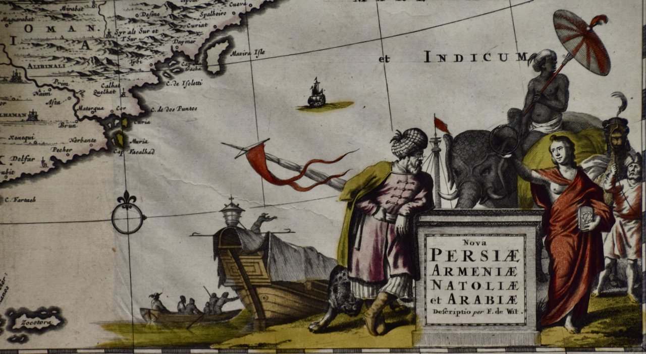
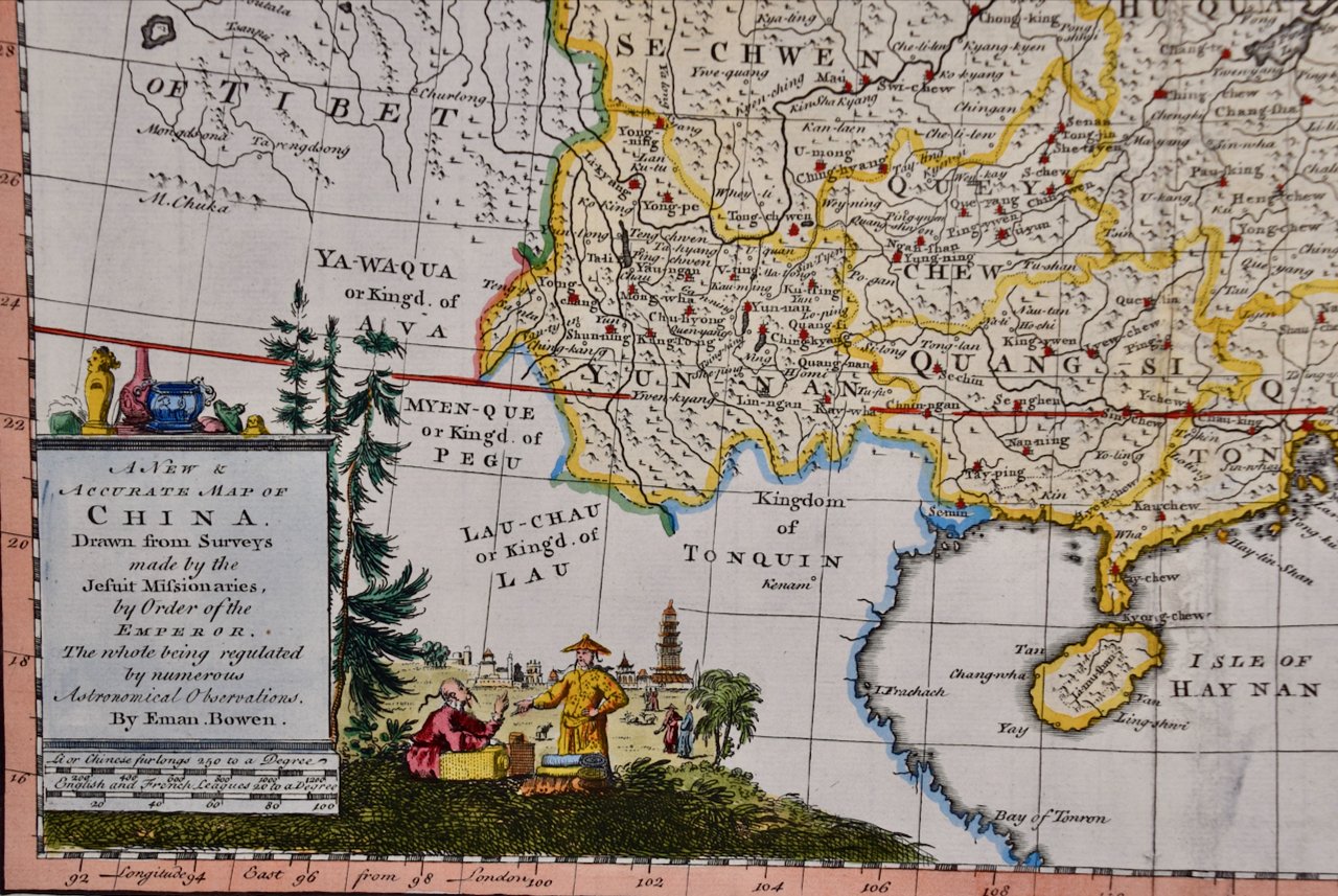
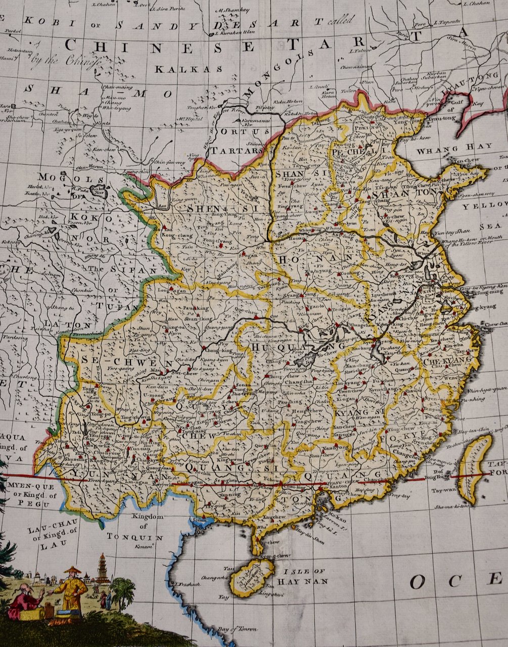
 Image 1 of 5
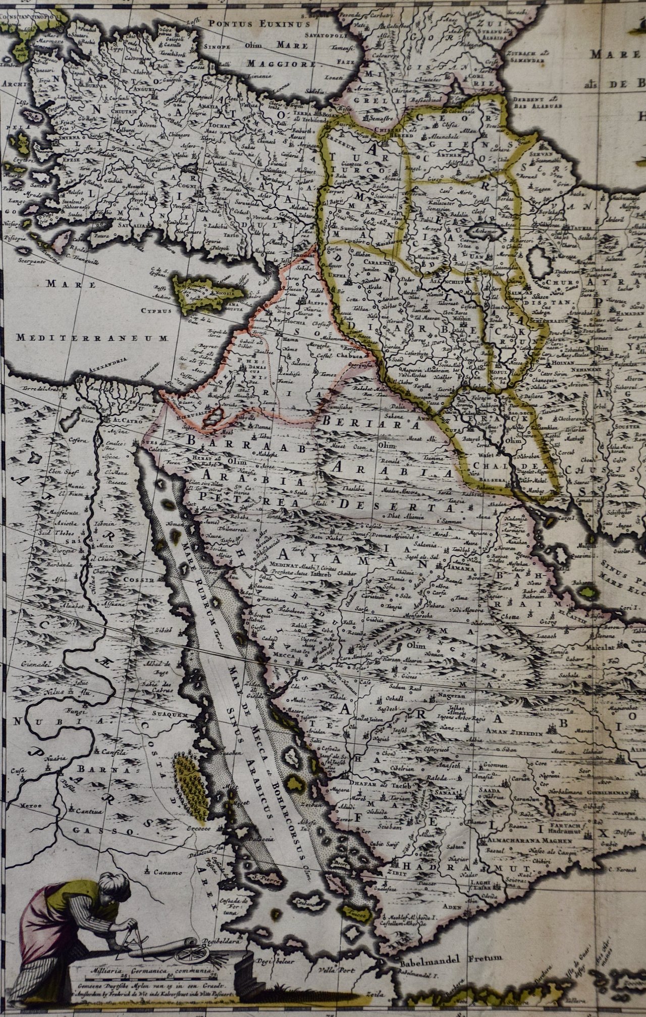
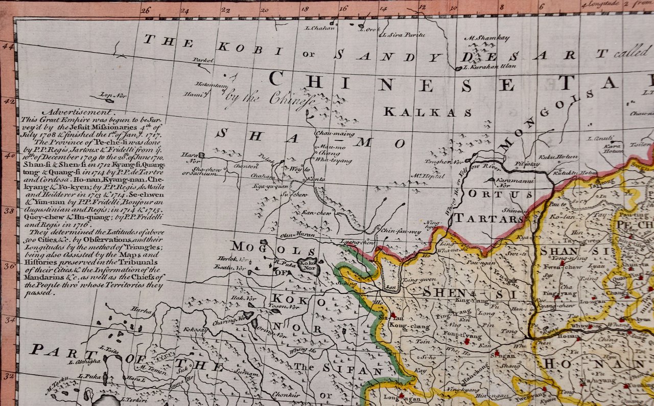
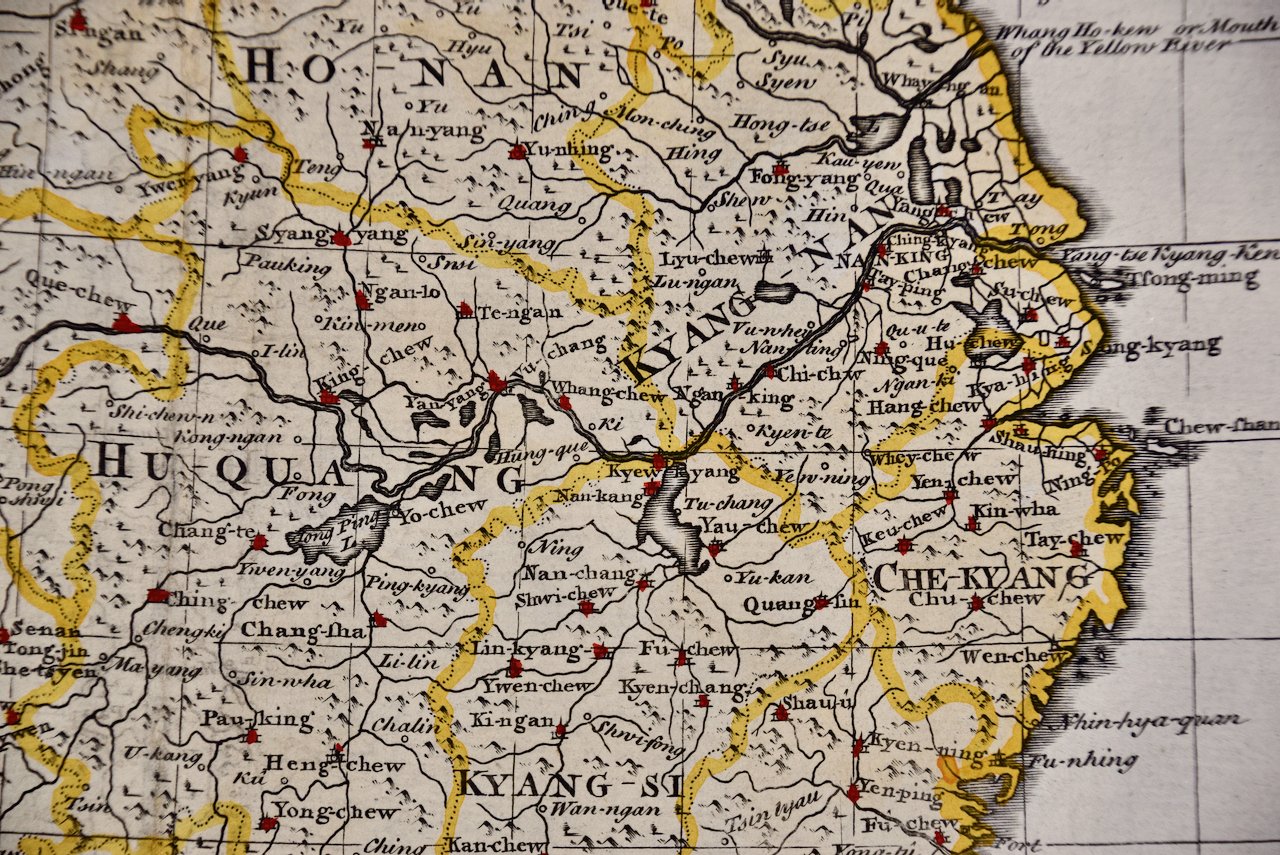
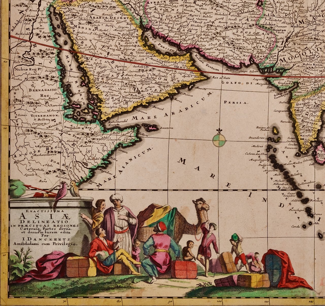 Image 2 of 5
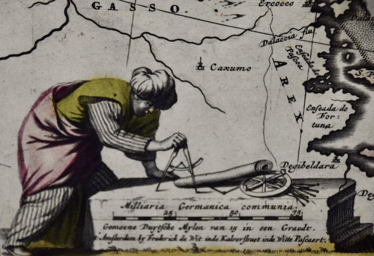
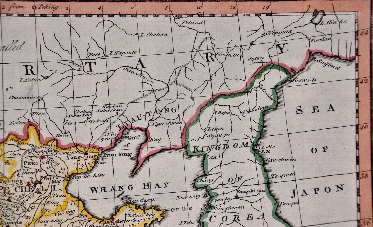
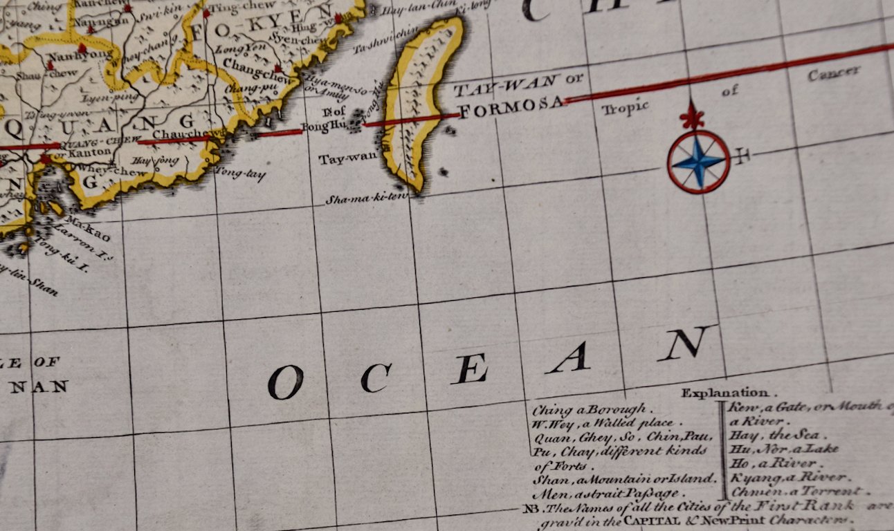
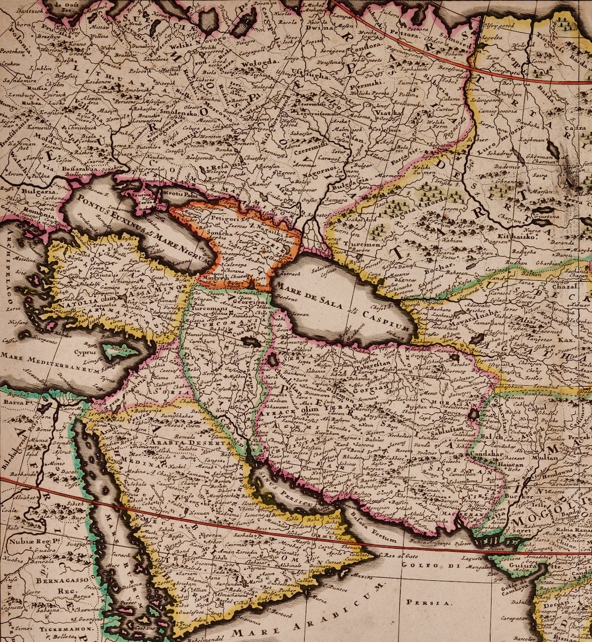 Image 3 of 5
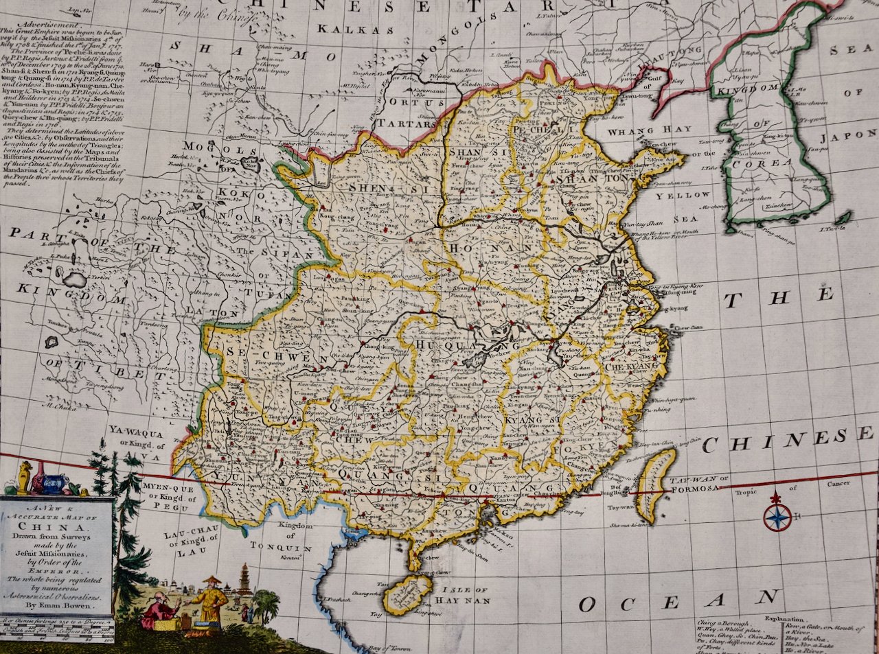
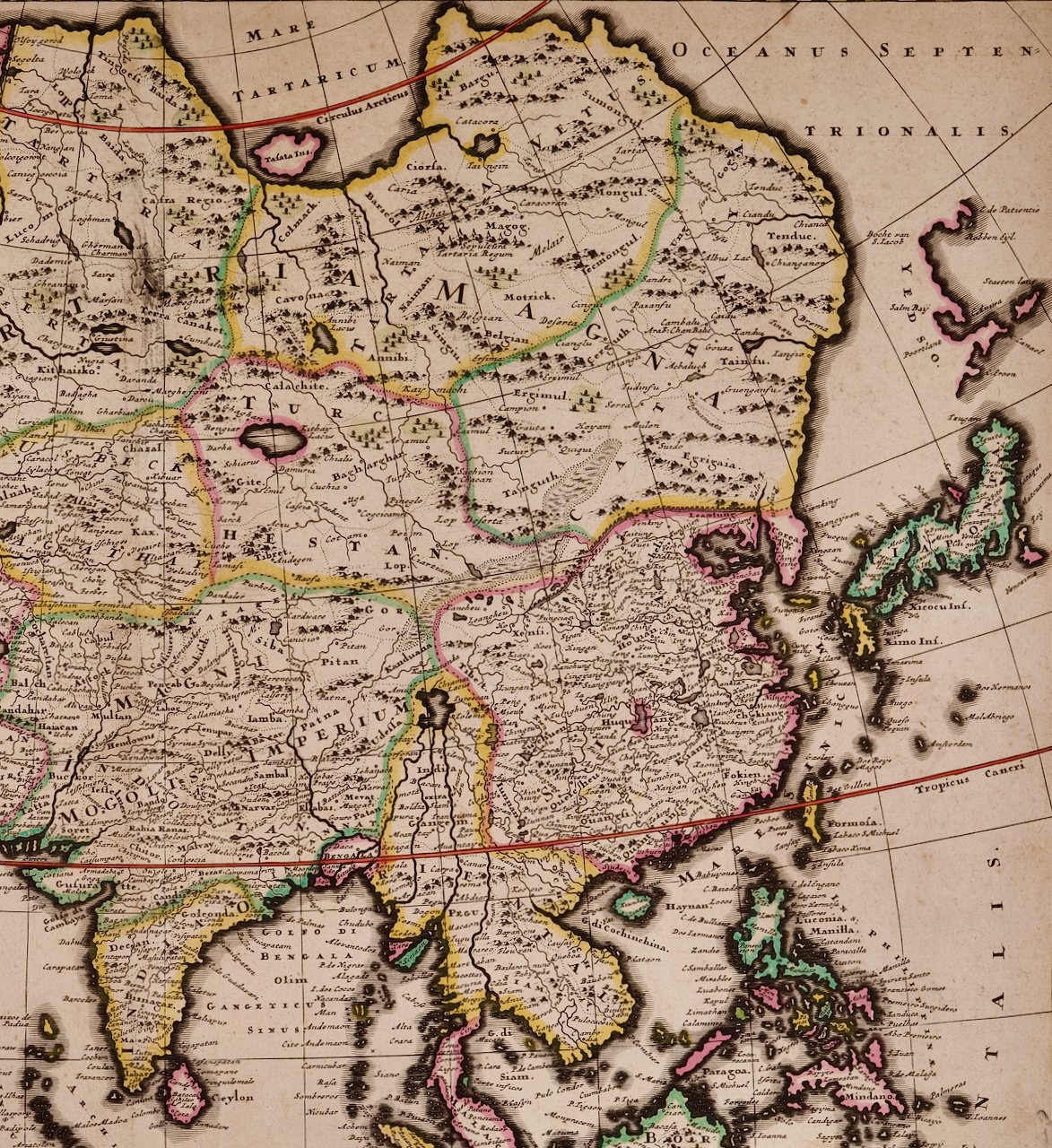 Image 4 of 5
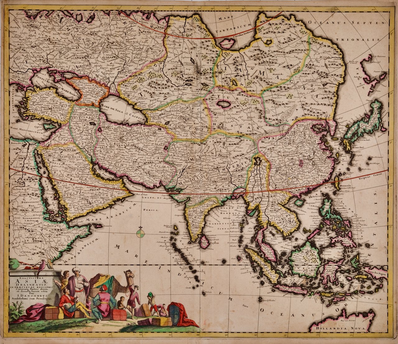
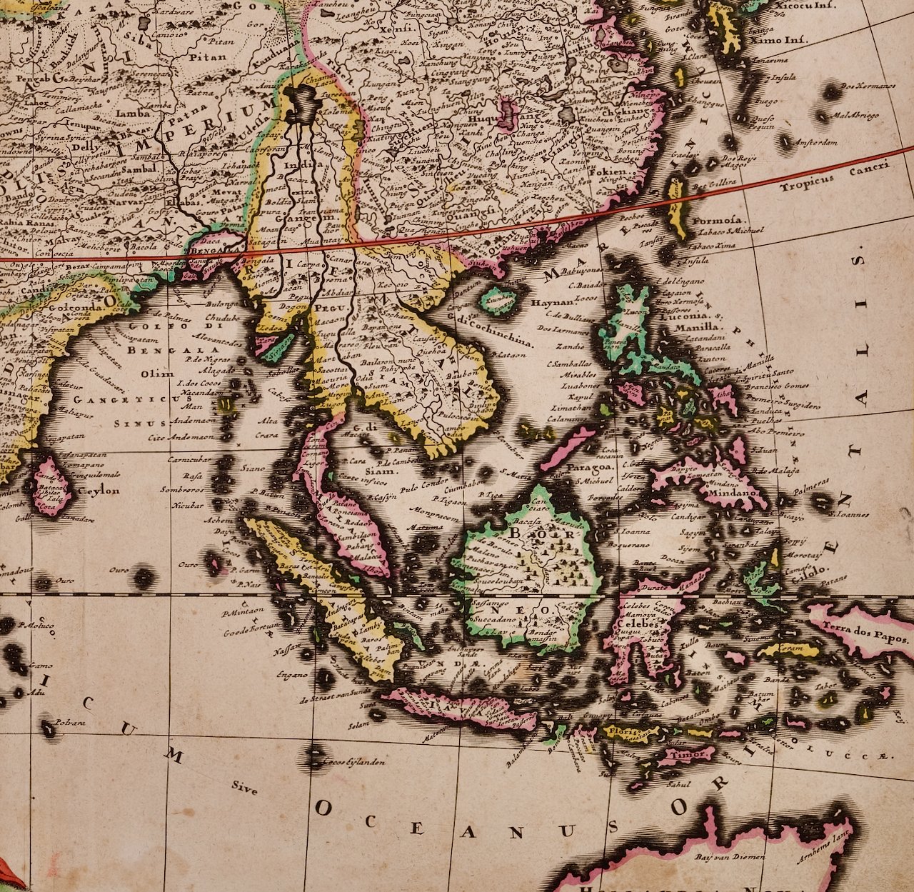 Image 5 of 5
This rare strikingly attractive hand-colored map is printed on laid, chain-linked paper. The sheet measures 20" high and 23.38." wide. There is a central vertical fold, as issued. There is a short tear at the edge of the sheet in the lower left corner, professionally repaired on the verso and a small amount of color offset and discoloration. The map is otherwise in very good condition.
Justus Danckerts (1635-1701) was a Dutch cartographer and engraver who worked primarily in Amsterdam during the late 17th century. He was the son of the prominent mapmaker and engraver Cornelis Danckerts, and he continued his family's legacy by producing a wide range of maps, atlases, and prints. The Danckerts family of Amsterdam was one of the best known print and map sellers in 17th century Amsterdam. Their business activity covered the period from around 1633 when Cornelis Danckerts the elder (1603-1656) founded the business, to 1727 when the remaining stocks of maps in the shop of Theodorus Danckerts, his grandson, was sold. The house of Danckerts gained its greatest fame from Justus Danckerts (I. Danckerts), the maker of this map and the son of Cornelis. The majority of Danckert’s atlases were published between 1660 and 1720 and are very rare with very few complete copies surviving.
Justus Danckerts was known for his skill in engraving and printing techniques and for his high-quality, detailed and accurate maps, which were highly regarded by navigators, merchants, and scholars around the world. Danckerts produced a number of important maps and atlases during his career, including the "Atlas Novus" and the "Atlas Coelestis". He created maps of Europe, Asia, Africa, and the Americas, as well as city plans of Amsterdam, Paris, and other major European cities. Danckerts was also involved in the art trade and collected a number of valuable paintings, including works by Rembrandt and Vermeer. He was a member of the Amsterdam Guild of Saint Luke and held various civic positions in the city throughout his life. Today, Danckerts' maps and prints are highly sought after by collectors and are held in major museums and archives around the world. His contributions to cartography and printmaking continue to be appreciated and studied by scholars, collectors and enthusiasts alike.