Image 1 of 9
 Image 2 of 9
 Image 3 of 9
 Image 4 of 9
 Image 5 of 9
 Image 6 of 9
 Image 7 of 9
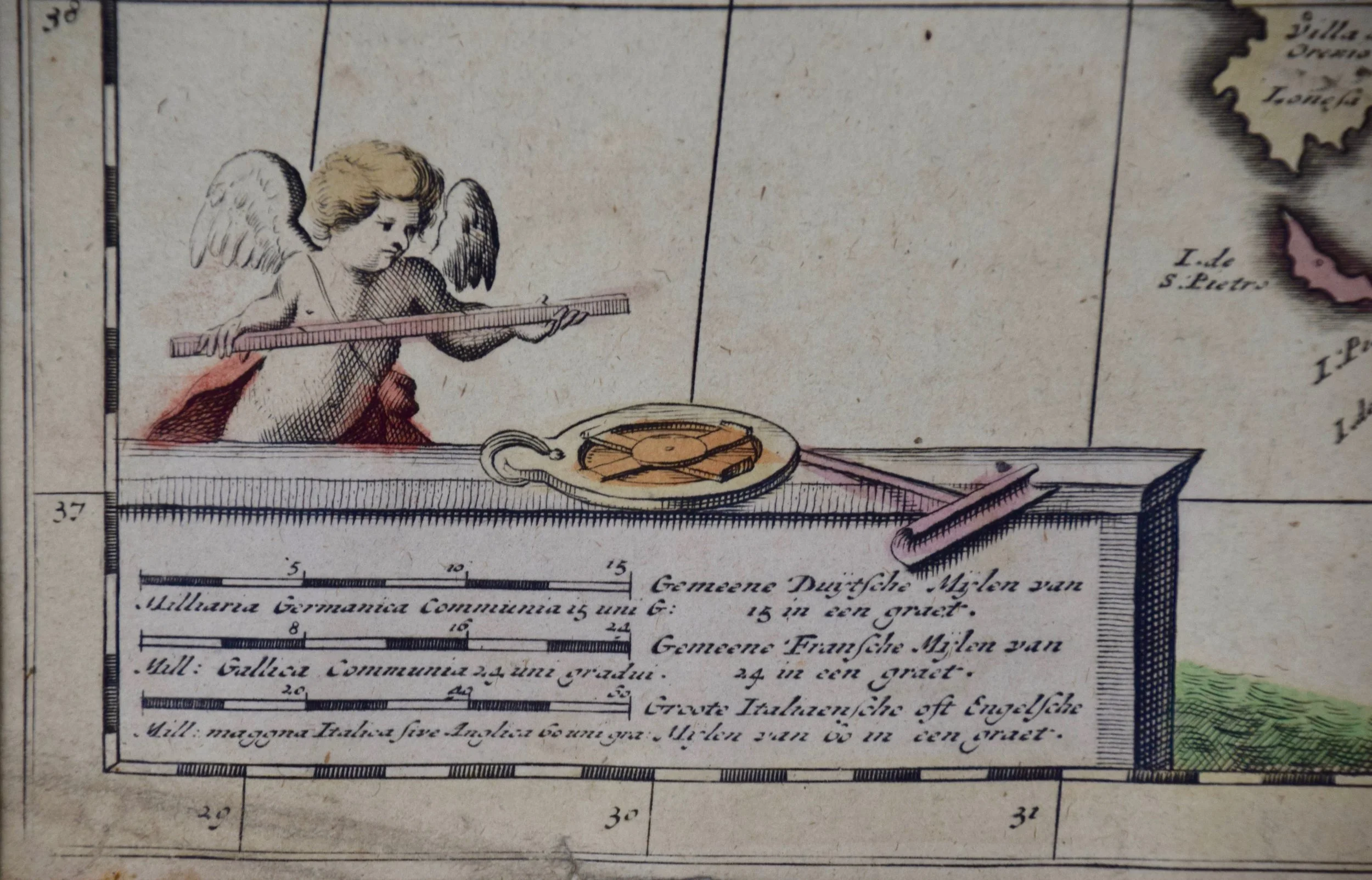 Image 8 of 9
 Image 9 of 9
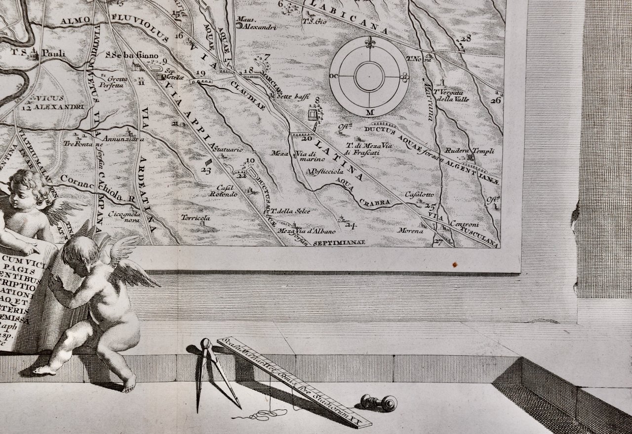
A colorful title cartouche in the top right quadrant depicts two cherubs and an emperor. The scale in the bottom left is also illustrated with a cherub with measuring instruments. Various ships can be seen sailing in the waters as a naval battle rages in the Tyrrhenian Sea.
The map is presented in a tan colored wood frame with light gold colored inner and outer trim, with a double mat; the outer mat is cream-color and the inner mat is dark brown. The frame measures 28” high, 31 1/4” wide and 1 3/8” deep. There are focal areas of discoloration in the lower portion of the map, but the map is otherwise in very good condition.
The Danckerts were a prominent 17th and early 18th century Dutch cartographic, engraver and printing family. Cornelis Danckerts I (1603-1656) began the family business in Amsterdam. The skill and the trade was passed to his son, Justus Danckerts (1635-1701 and subsequently to his sons, Theodorus Danckerts I (1663-1727) and Cornelis Danckerts II (1664-1717)