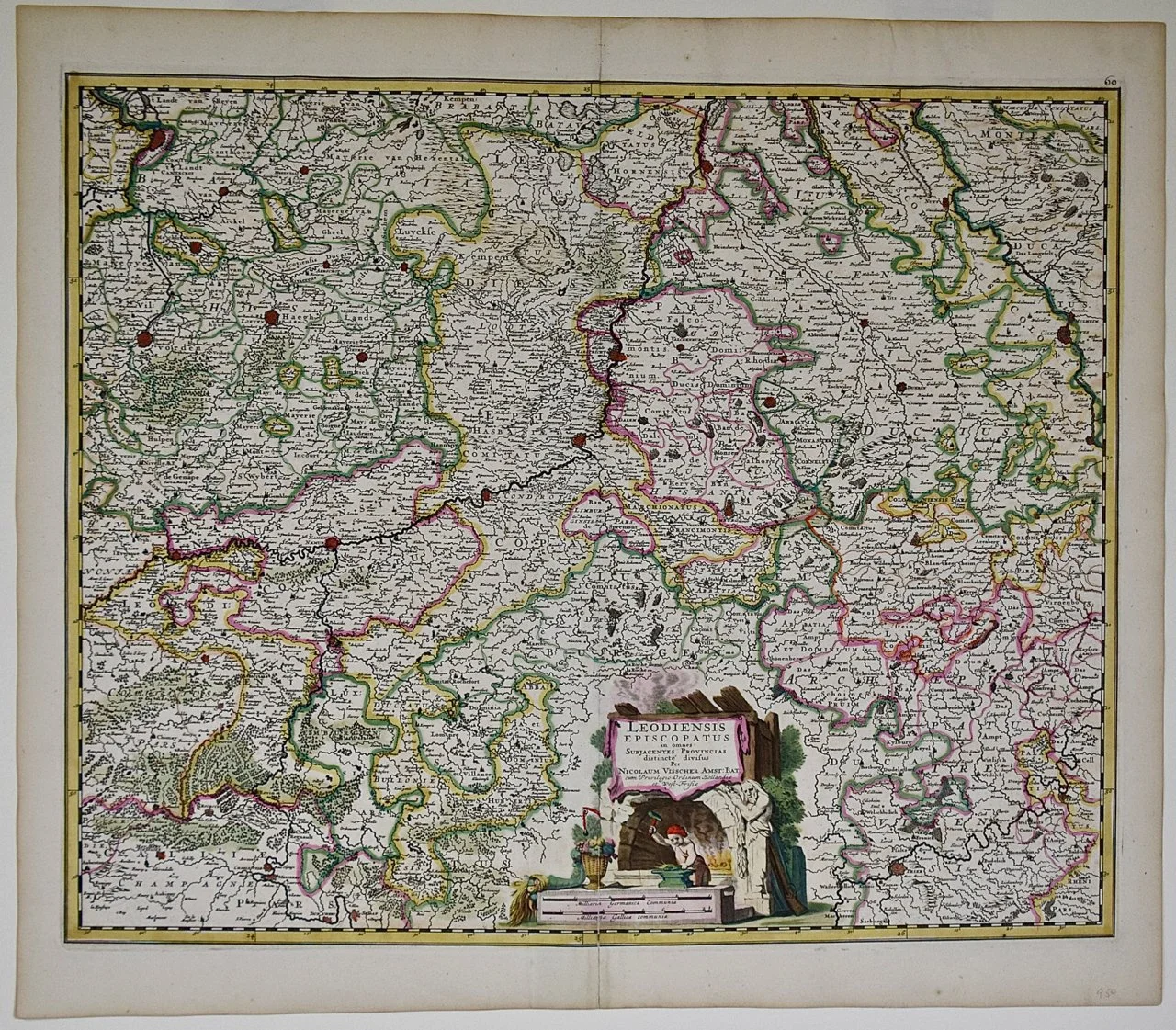
 Image 1 of 8
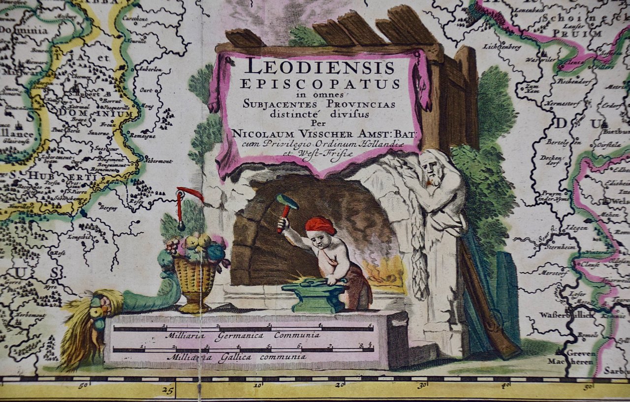 Image 2 of 8
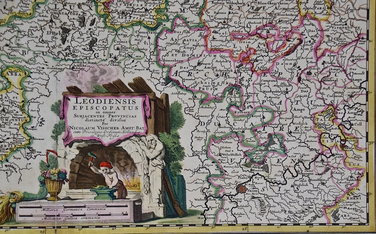 Image 3 of 8
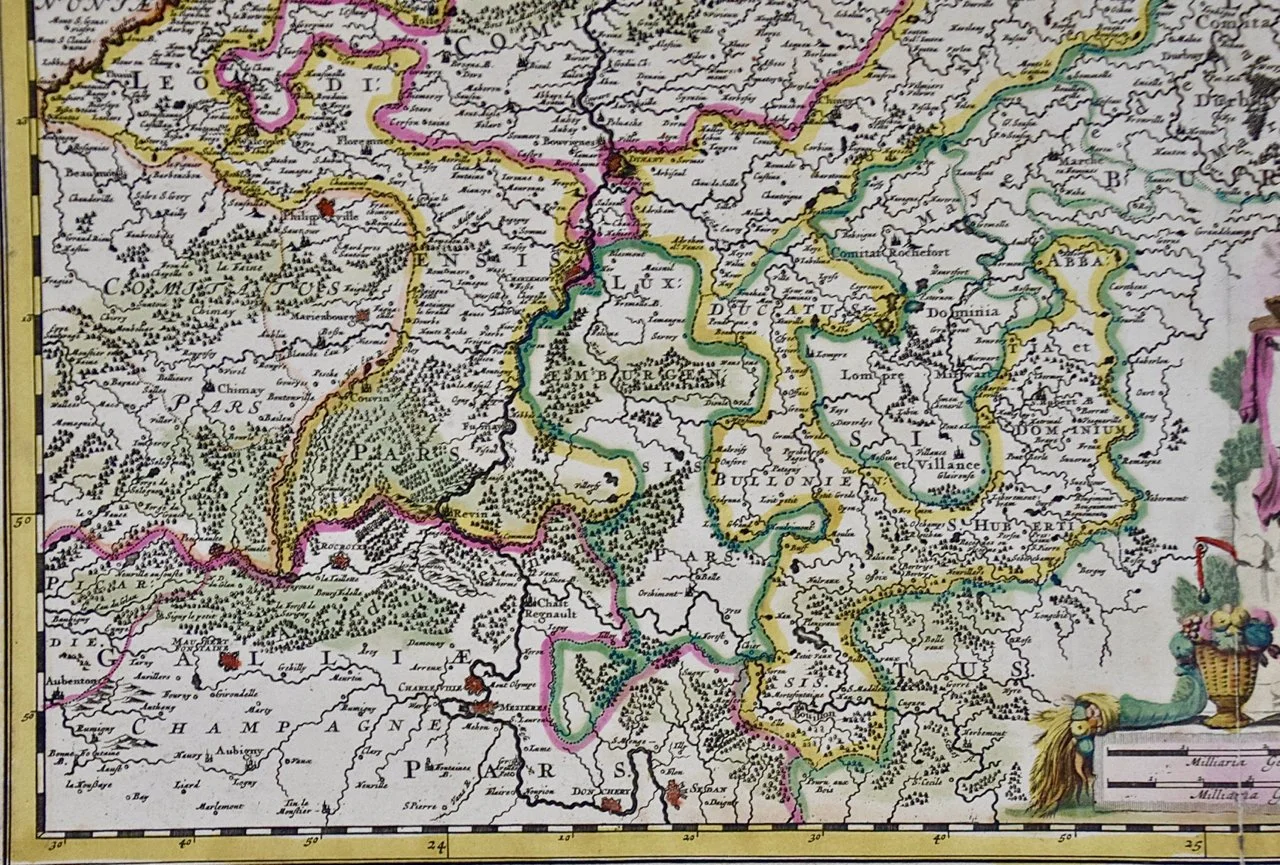 Image 4 of 8
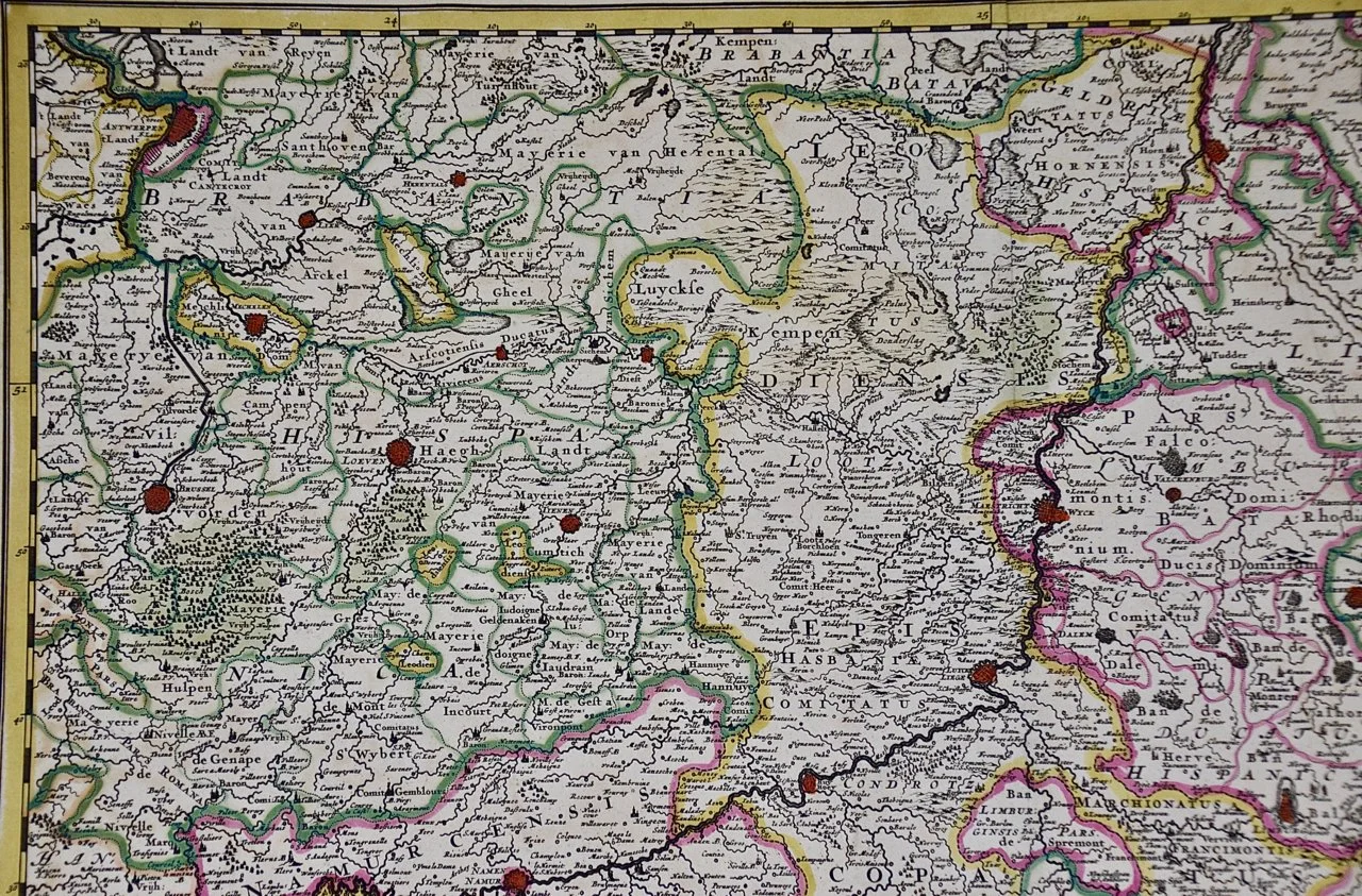 Image 5 of 8
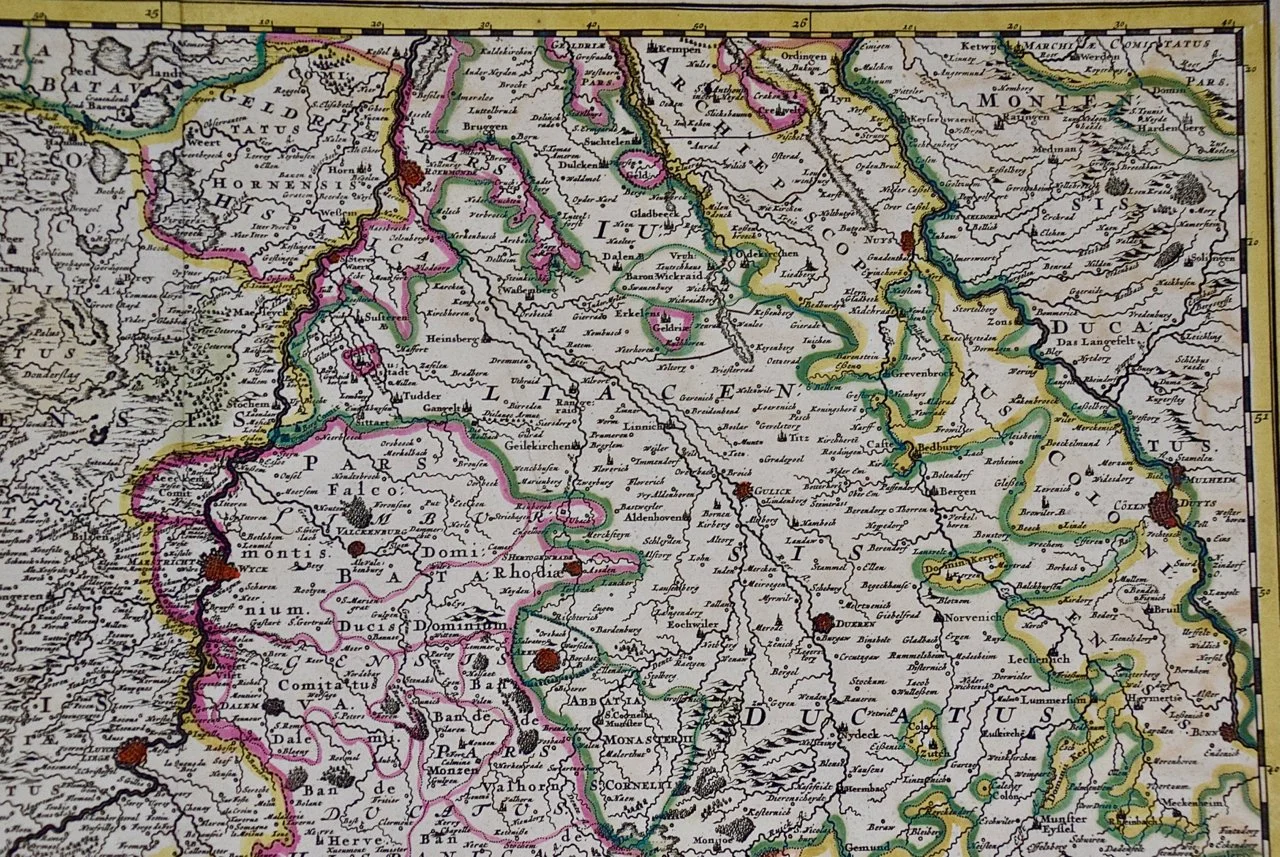 Image 6 of 8
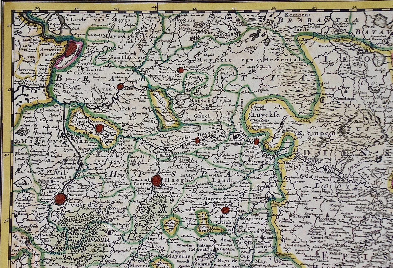 Image 7 of 8
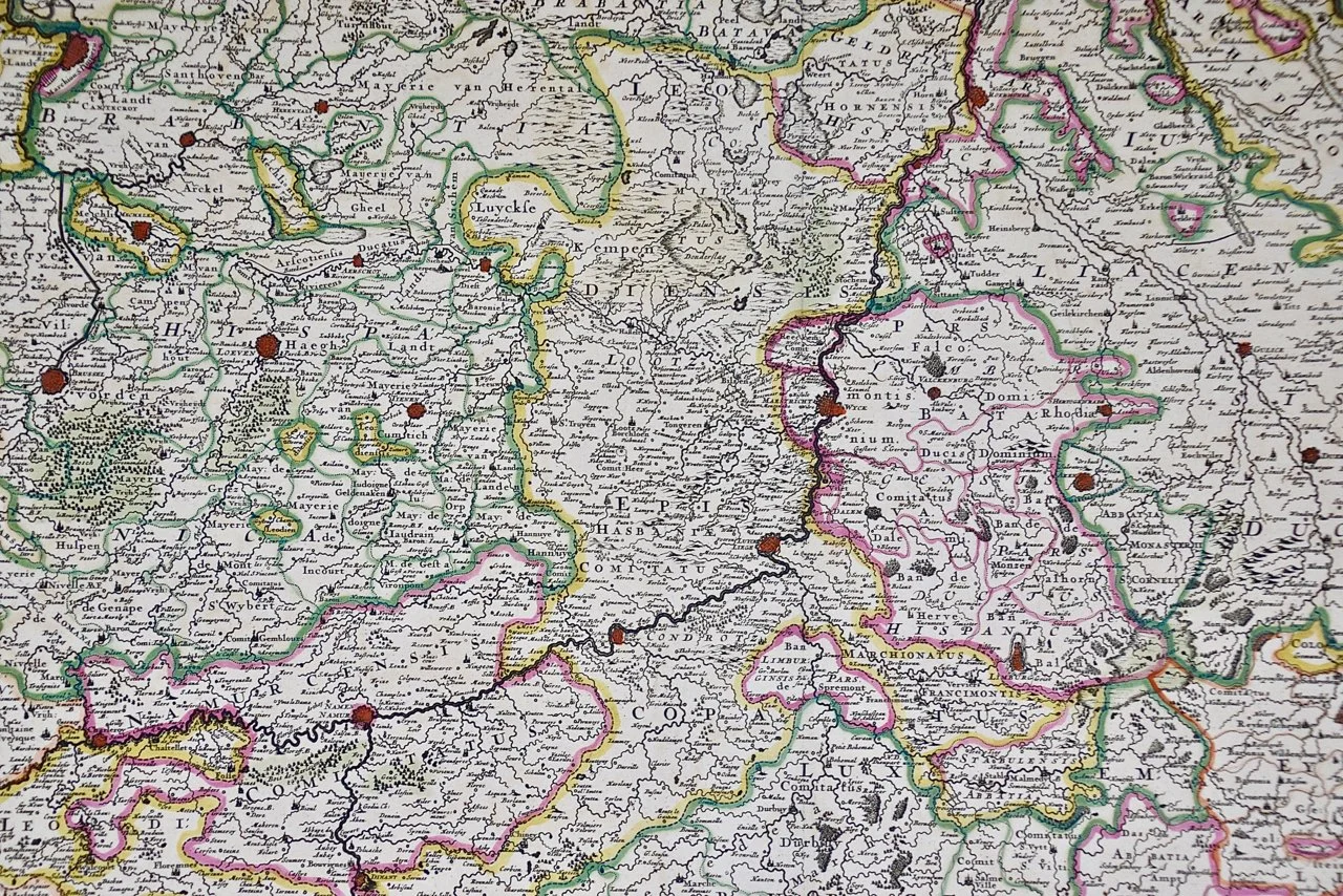 Image 8 of 8
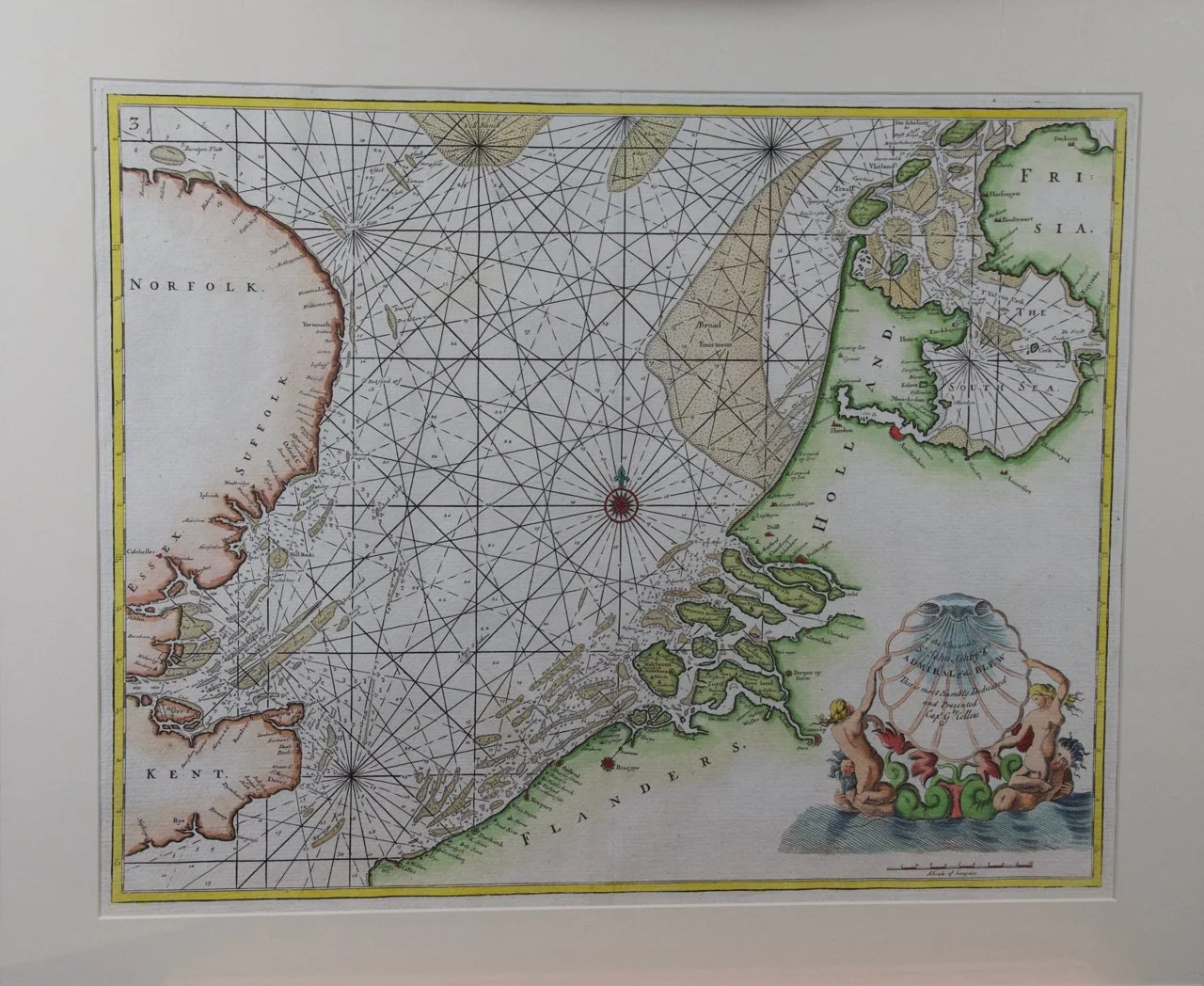
This attractive map is presented in a cream-colored mat measuring 30" wide x 27.5" high. There is a central fold, as issued. There is minimal spotting in the upper margin and a tiny spot in the right lower margin, which are under the mat. The map is otherwise in excellent condition.
The Visscher family were one of the great cartographic families of the 17th century. Begun by Claes Jansz Visscher (1587-1652) and continued by his son Nicolaes (1618-1679), grandson Nicolaes II (1649-1702) and then by his grandson’s widow, Elizabeth until her death in 1726. The Visschers were prolific publishers, producing individual maps and also atlases made up to their customers’ specifications. They are commonly regarded as second only to the Blaeu family, among Dutch mapmakers, for the high quality of engraving and decoration, and the geographical accuracy of their many maps.