 Image 1 of 9
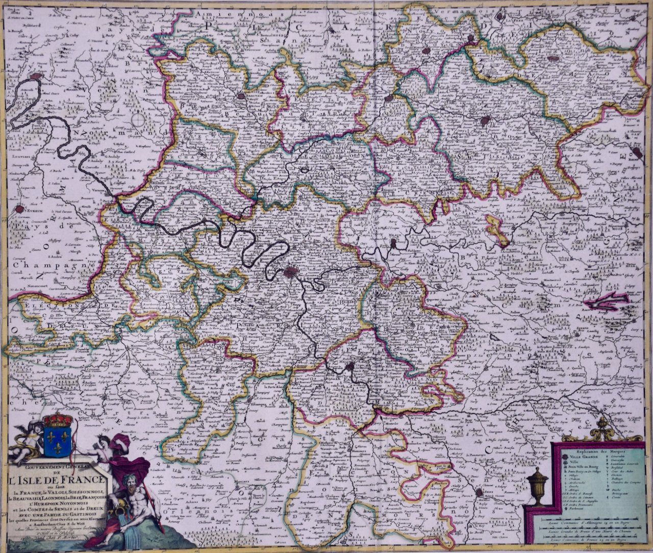 Image 2 of 9
 Image 3 of 9
 Image 4 of 9
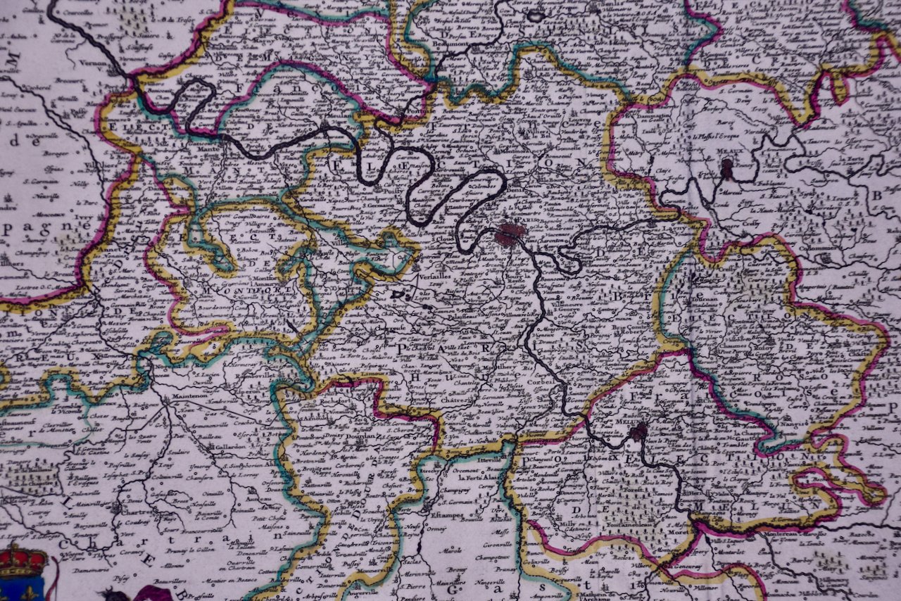 Image 5 of 9
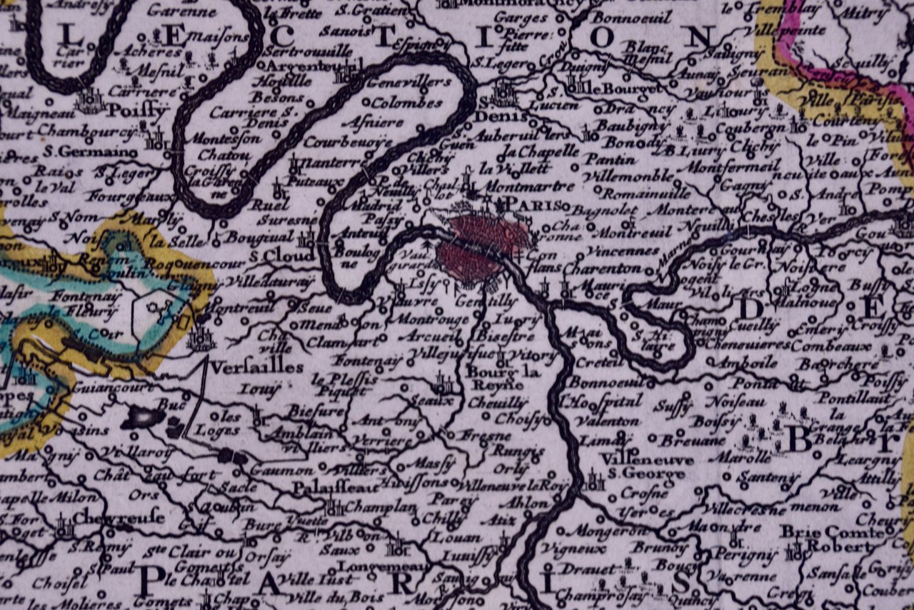 Image 6 of 9
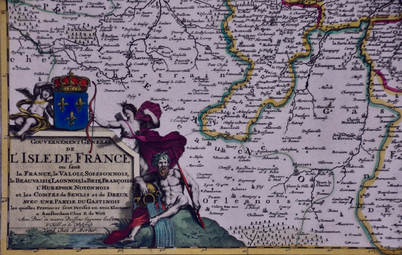 Image 7 of 9
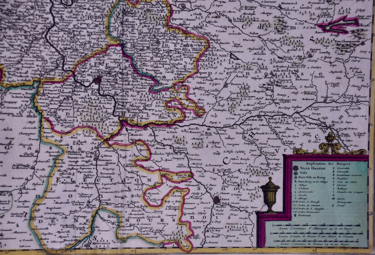 Image 8 of 9
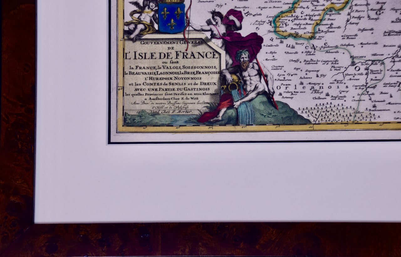 Image 9 of 9
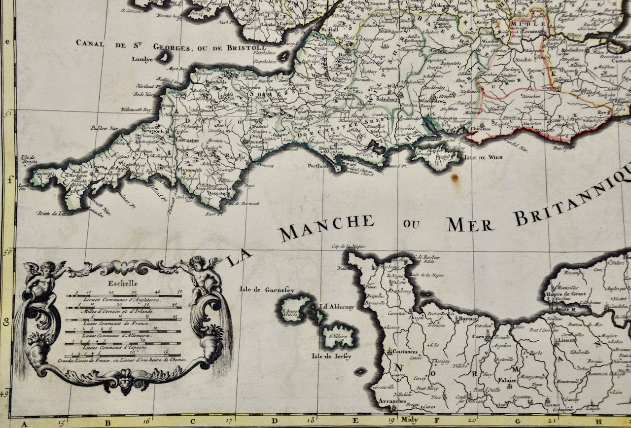
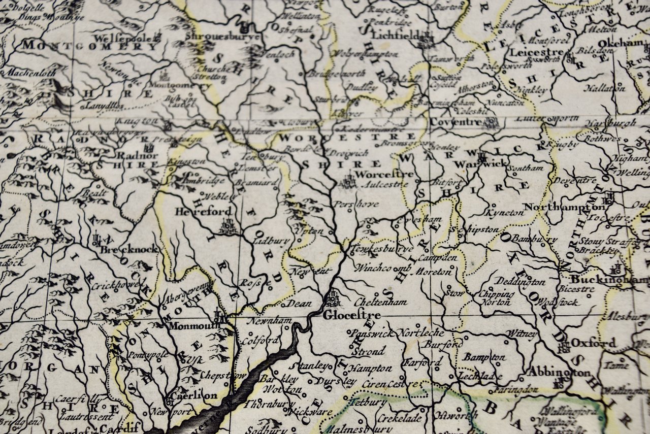
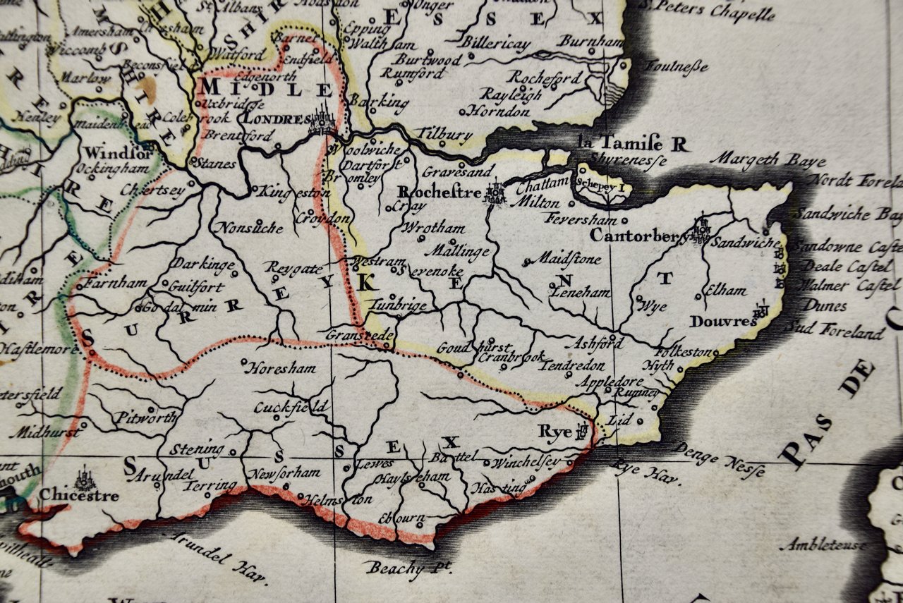
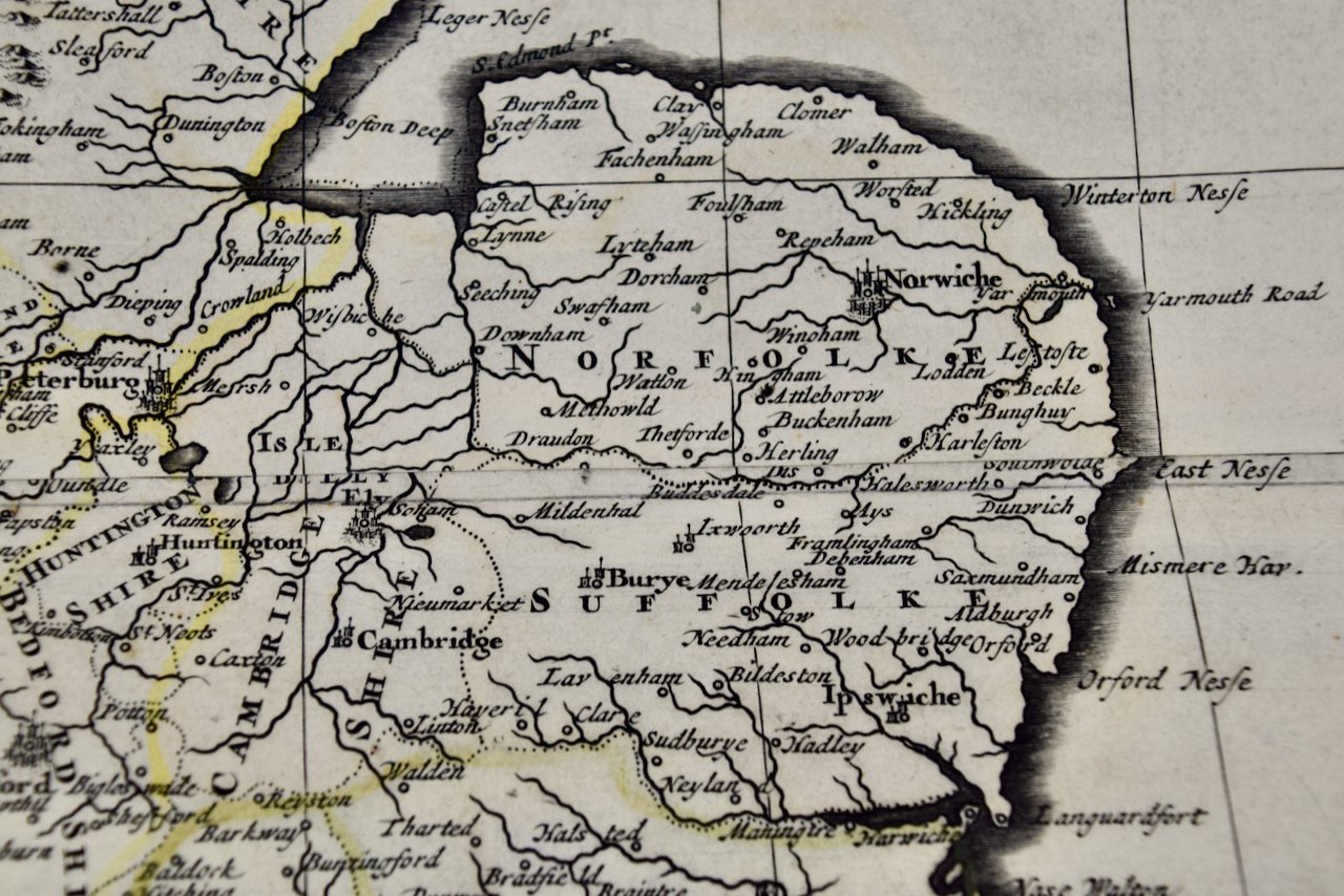
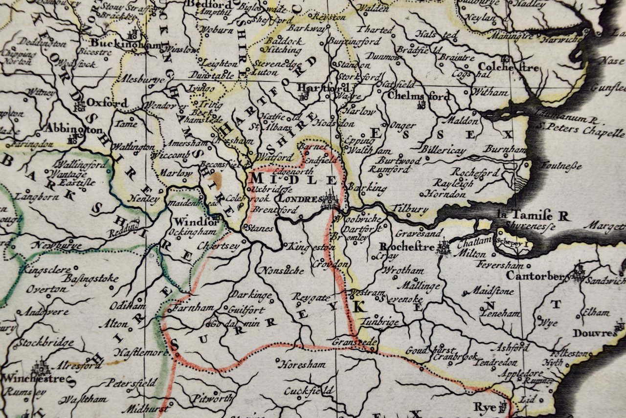
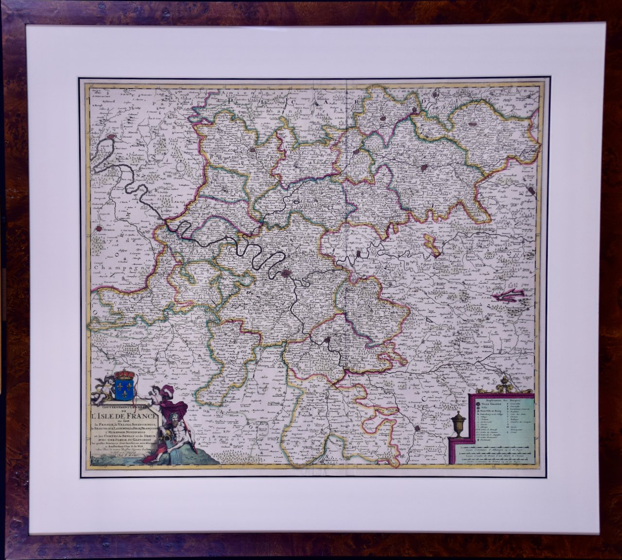
This beautifully engraved and hand-colored map includes a decorative title cartouche in the lower left which includes the names of the cartographer, Frederick De Wit and the publisher, Peter Mortier. A scale cartouche is found in the lower right.
This hand-colored map is presented in a brown burl wood frame with a cream-colored mat with a black inner trim mat. The frame measures 28.25" high by 31.25" wide and 0.75" deep. There is a central vertical fold, as issued and another vertical fold to the left. There are small wrinkles in the lower margin, but the map is otherwise in excellent condition.
Frederick De Wit (1629-1706) was an engraver, cartographer and map dealer who ran a prominent and productive printing business in Amsterdam, founded in 1654 and initially called The Three Crabs and later The White Chart. He published his first atlas in 1662. In 1695 he purchased a large collection of the plates of the prestigious Blaeu publishing business. After his death in 1706, his wife Maria continued in the business for four years before selling it at the auction. A majority of the plates were purchased by Pieter Mortier. His thriving and growing business eventually became Covens & Mortier, one of the largest and most successful cartography and printing businesses of the eighteenth century.