Skip to Content
Timeless Intaglio: Rare Prints, Maps & Books
Shop
All Listings
Antiquarian Prints
Antiquarian Maps
Antiquarian Books
Artists
Our Story
Previews
Contact
Login Account
0
0
Search
Timeless Intaglio: Rare Prints, Maps & Books
Shop
All Listings
Antiquarian Prints
Antiquarian Maps
Antiquarian Books
Artists
Our Story
Previews
Contact
Login Account
0
0
Search
Folder: Shop
Back
All Listings
Antiquarian Prints
Antiquarian Maps
Antiquarian Books
Artists
Our Story
Previews
Contact
Login Account
Search
Shop Southeastern Ireland: A 17th Century Hand Colored Map by Mercator and Hondius
1315 Mercator-Hondius, The Second Table of Ireland.jpg Image 1 of 7
1315 Mercator-Hondius, The Second Table of Ireland.jpg
1315A Mercator-Hondius, The Second Table of Ireland.jpg Image 2 of 7
1315A Mercator-Hondius, The Second Table of Ireland.jpg
1315F Mercator-Hondius, The Second Table of Ireland.jpg Image 3 of 7
1315F Mercator-Hondius, The Second Table of Ireland.jpg
1315B Mercator-Hondius, The Second Table of Ireland.jpg Image 4 of 7
1315B Mercator-Hondius, The Second Table of Ireland.jpg
1315C Mercator-Hondius, The Second Table of Ireland.jpg Image 5 of 7
1315C Mercator-Hondius, The Second Table of Ireland.jpg
1315D Mercator-Hondius, The Second Table of Ireland.jpg Image 6 of 7
1315D Mercator-Hondius, The Second Table of Ireland.jpg
1315E Mercator-Hondius, The Second Table of Ireland.jpg Image 7 of 7
1315E Mercator-Hondius, The Second Table of Ireland.jpg
1315 Mercator-Hondius, The Second Table of Ireland.jpg
1315A Mercator-Hondius, The Second Table of Ireland.jpg
1315F Mercator-Hondius, The Second Table of Ireland.jpg
1315B Mercator-Hondius, The Second Table of Ireland.jpg
1315C Mercator-Hondius, The Second Table of Ireland.jpg
1315D Mercator-Hondius, The Second Table of Ireland.jpg
1315E Mercator-Hondius, The Second Table of Ireland.jpg

Southeastern Ireland: A 17th Century Hand Colored Map by Mercator and Hondius

$675.00

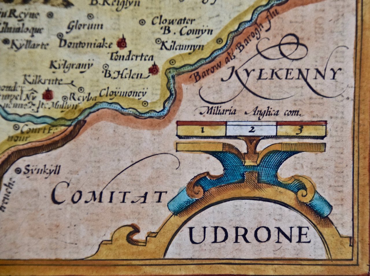
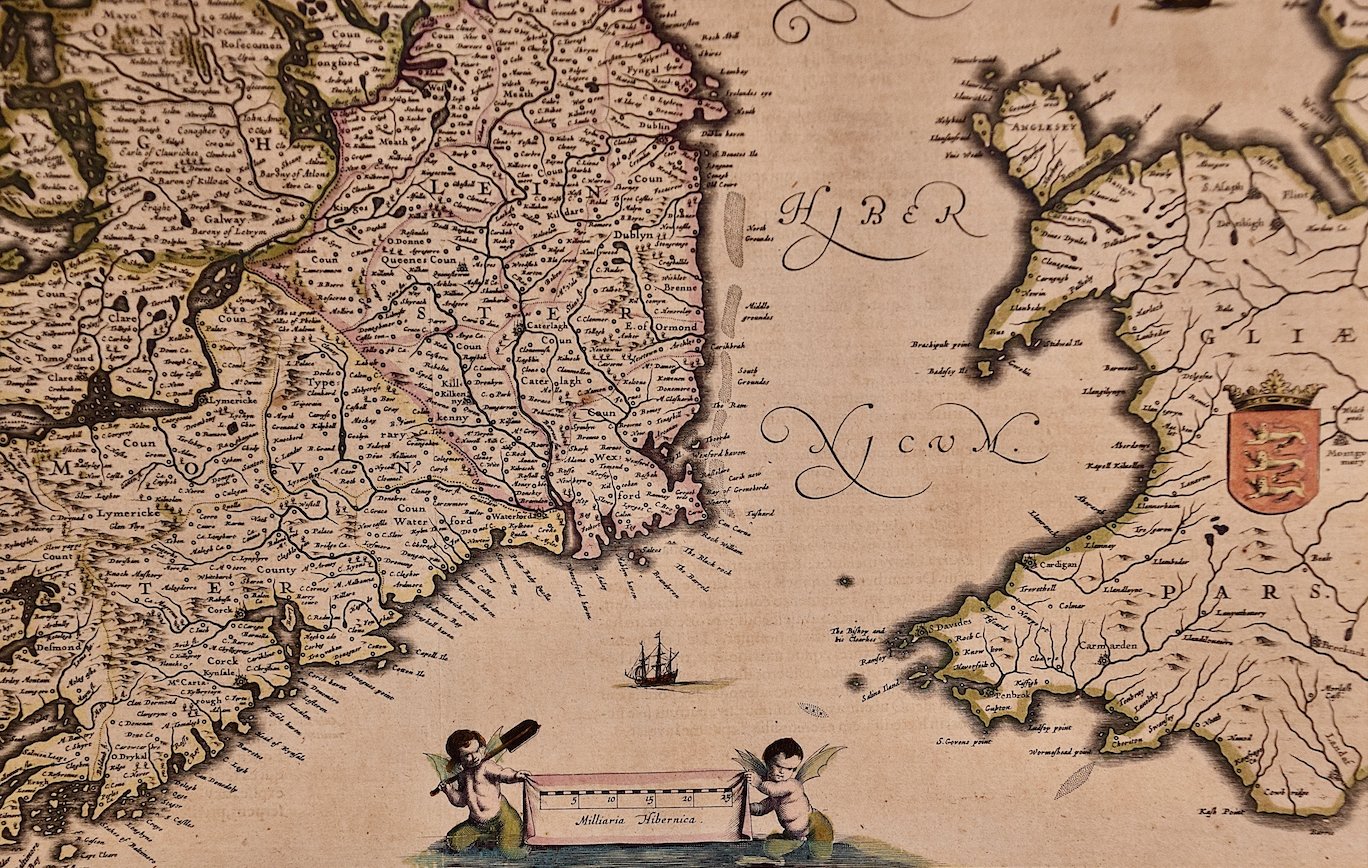
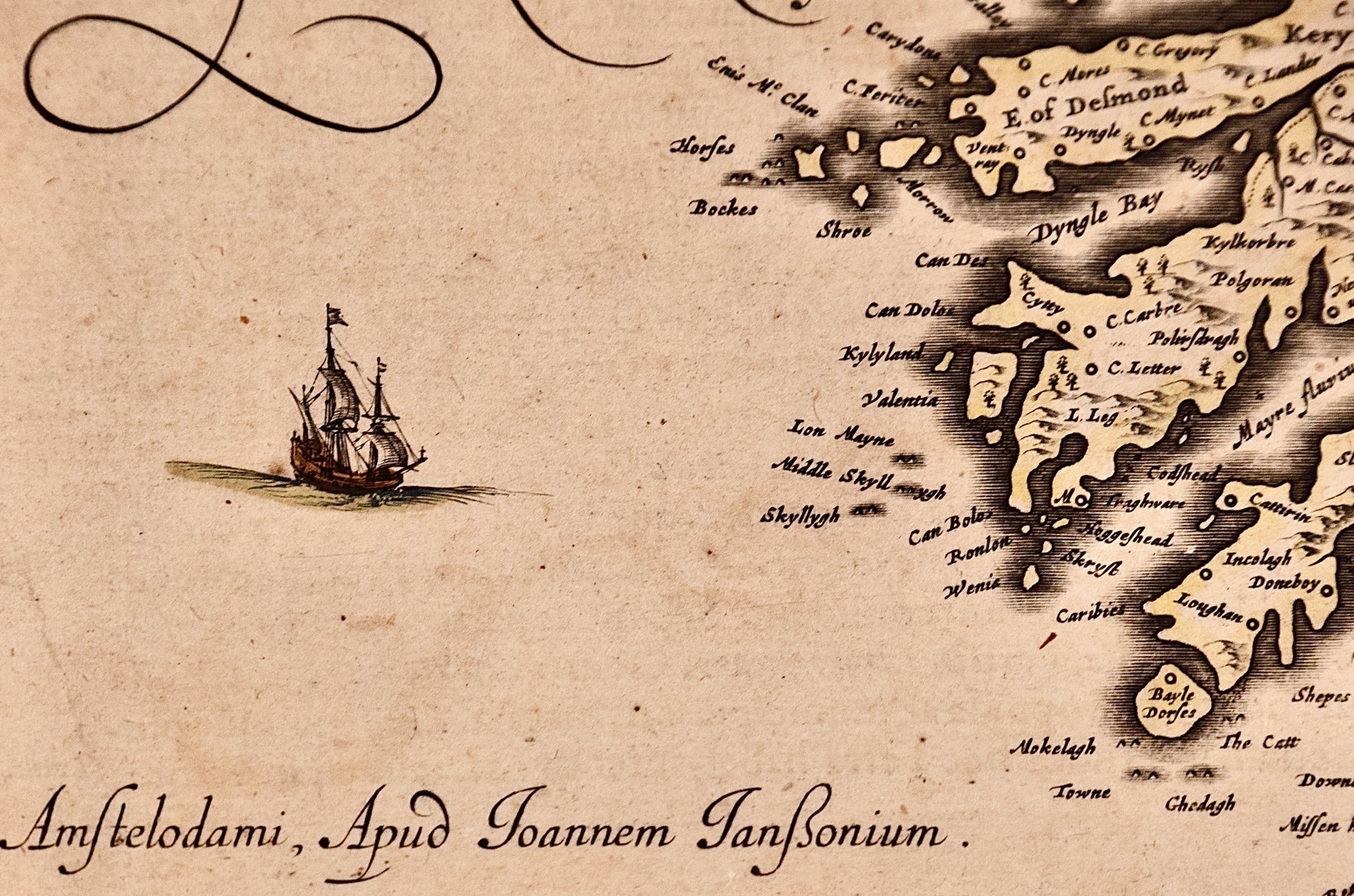
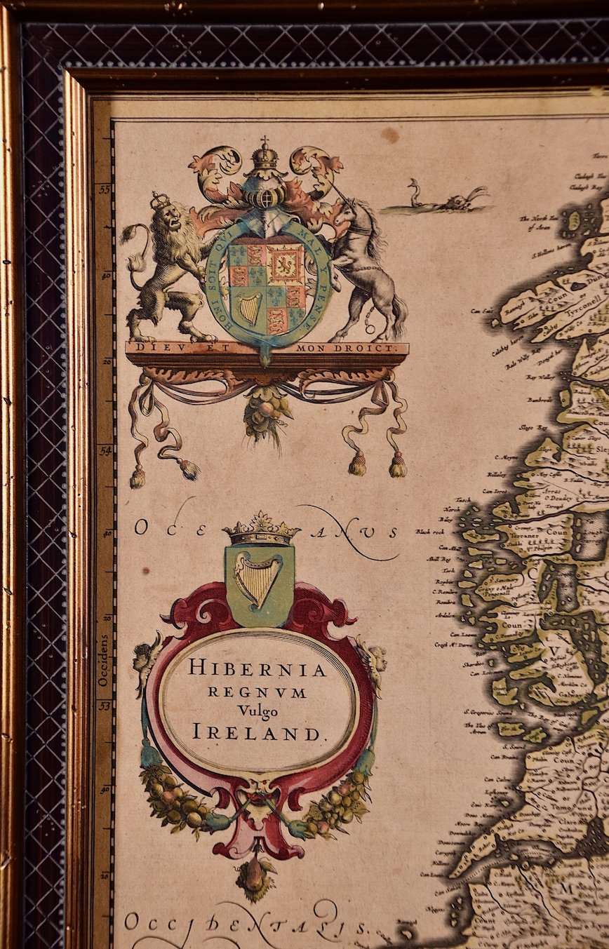
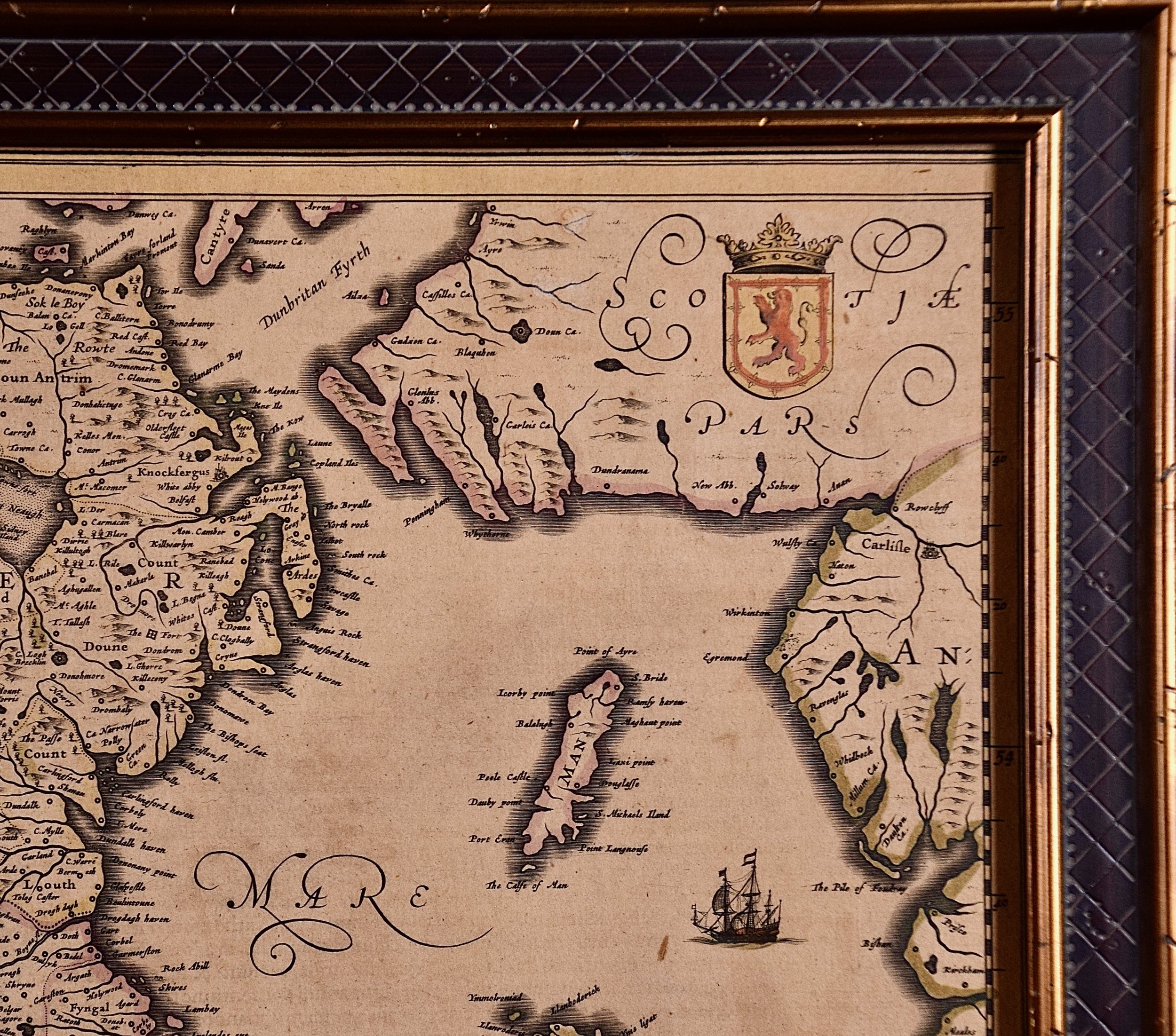
A 17th century copperplate hand-colored map entitled "The Second Table of Ireland, Udrone" by Gerard Mercator and Jodocus Hondius, published in Amsterdam in 1635 in 'Cosmographicall Description of the Fabricke & Figure of the World with new Mappes and Tables; By the studious industry of Jodocus Hondy', the first English edition of their 'Atlas Minor'. It is focused on a region of Ireland depicting present day County Carlow in Leinster Province and the city of Catherlaugh, which is now the city of Carlow. This region has an interesting history which led to Mercator producing a map focused on it. When Queen Elizabeth I forced Earl of Desmond, Gerald Fitzgerald, to renounce all his rights to family lands in Munster, Peter Carew claimed much of these land holdings in Ireland. Carew made his case to the English at Dublin Castle and was awarded title to the Barony of Udrone. He subsequently claimed title to one half the Kingdom of Cork, as well as other Irish lands.

Creator: Gerard Mercator (1512 - 1594, Flemish, German)

Creation Year: 1635

Dimensions: Height: 12 in (30.48 cm) Width: 14 in (35.56 cm)

Medium: Engraving

Condition: See description below.

Reference #: 1315

Add To Cart

A 17th century copperplate hand-colored map entitled "The Second Table of Ireland, Udrone" by Gerard Mercator and Jodocus Hondius, published in Amsterdam in 1635 in 'Cosmographicall Description of the Fabricke & Figure of the World with new Mappes and Tables; By the studious industry of Jodocus Hondy', the first English edition of their 'Atlas Minor'. It is focused on a region of Ireland depicting present day County Carlow in Leinster Province and the city of Catherlaugh, which is now the city of Carlow. This region has an interesting history which led to Mercator producing a map focused on it. When Queen Elizabeth I forced Earl of Desmond, Gerald Fitzgerald, to renounce all his rights to family lands in Munster, Peter Carew claimed much of these land holdings in Ireland. Carew made his case to the English at Dublin Castle and was awarded title to the Barony of Udrone. He subsequently claimed title to one half the Kingdom of Cork, as well as other Irish lands.

Creator: Gerard Mercator (1512 - 1594, Flemish, German)

Creation Year: 1635

Dimensions: Height: 12 in (30.48 cm) Width: 14 in (35.56 cm)

Medium: Engraving

Condition: See description below.

Reference #: 1315

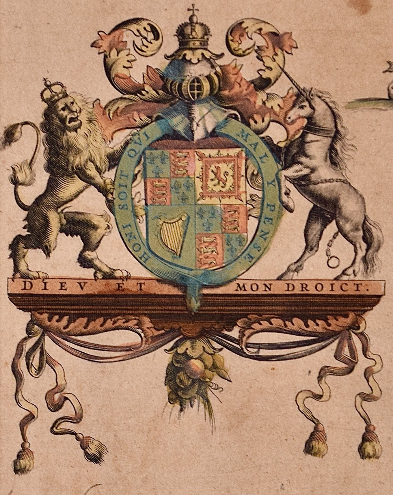
The map is embellished with a strap work cartouche containing the name of the region. The map is beautifully hand colored with wide margins. It is presented in an archival cream colored mat measuring 14' wide x 12" high and the map sheet measures 11.25" wide x 7" high. There is English text on the verso. The map is in excellent condition.

Gerard Mercator (1512-1594) is one of the most famous cartographers of all time. He was born in Flanders and moved to Duisburg from Leuven in the Netherlands, where he lived and worked for the rest of his life. In addition to producing important maps and globes, he invented a projection on maps that presented all parallels and meridians at right angles to each other, with the distance between the parallels extending towards the poles, allowing accurate latitude and longitude calculation and navigational routes to be drawn using straight lines. This was an important technological advance for navigation at sea, as this allowed seafarers to plot their course without having to adjust their course based on frequent compass readings. This has become know as Mercator projection on maps produced by subsequent cartographers to this day. He is also the first to use the term “atlas”, which was first used to describe his collection of maps gathered in one volume. The Mercator atlas was published in 1595, a year after Mercator’s death by his heirs.

Jodocus Hondius (1563-1612) was a prominent globe maker and map engraver from Ghent (Flanders). After spending some time in London, he established his business in Amsterdam in 1593. Hondius bought the plates of Gerard Mercator in 1604 and added around 40 of his own maps in an atlas that he first published in 1606, preserving Mercator's name. After his death in 1612 in Amsterdam, the business was continued by his sons Jodocus II and Henricus, who published the English edition of the Mercator and Hondius Atlas Minor in 1635 that contained this map.

Related Works

Rugen Island, Germany: An Early 17th Century Map by Mercator and Hondius 4862A Mercator-Hondius, Nova Famigerabilis Insulae Ac Ducatus Rugiae Desciptio (Map of Rugen Island, Germany).jpeg 4862B Mercator-Hondius, Nova Famigerabilis Insulae Ac Ducatus Rugiae Desciptio (Map of Rugen Island, Germany).jpeg 4862C Mercator-Hondius, Nova Famigerabilis Insulae Ac Ducatus Rugiae Desciptio (Map of Rugen Island, Germany).jpeg 4862D Mercator-Hondius, Nova Famigerabilis Insulae Ac Ducatus Rugiae Desciptio (Map of Rugen Island, Germany).jpeg 4862E Mercator-Hondius, Nova Famigerabilis Insulae Ac Ducatus Rugiae Desciptio (Map of Rugen Island, Germany).jpeg 4862F Mercator-Hondius, Nova Famigerabilis Insulae Ac Ducatus Rugiae Desciptio (Map of Rugen Island, Germany).jpeg 4862G Mercator-Hondius, Nova Famigerabilis Insulae Ac Ducatus Rugiae Desciptio (Map of Rugen Island, Germany).jpeg 4862H Mercator-Hondius, Nova Famigerabilis Insulae Ac Ducatus Rugiae Desciptio (Map of Rugen Island, Germany).jpeg
Rugen Island, Germany: An Early 17th Century Map by Mercator and Hondius
$675.00
View of Emden, Germany: A 16th Century Hand-colored Map by Braun & Hogenberg 4842A Braun & Hogenberg, Emuda, vulgo Embden vrbs Frisia orientalis primaria (View of Emden, Germany).jpeg 4842B Braun & Hogenberg, Emuda, vulgo Embden vrbs Frisia orientalis primaria (View of Emden, Germany).jpeg 4842C Braun & Hogenberg, Emuda, vulgo Embden vrbs Frisia orientalis primaria (View of Emden, Germany).jpeg 4842D Braun & Hogenberg, Emuda, vulgo Embden vrbs Frisia orientalis primaria (View of Emden, Germany).jpeg 4842E Braun & Hogenberg, Emuda, vulgo Embden vrbs Frisia orientalis primaria (View of Emden, Germany).jpeg 4842F Braun & Hogenberg, Emuda, vulgo Embden vrbs Frisia orientalis primaria (View of Emden, Germany).jpeg
View of Emden, Germany: A 16th Century Hand-colored Map by Braun & Hogenberg
$1,175.00
Meissen, Germany : A Large Framed 18th Century Map by Petrus Schenk 1067A Schenk, Geographischer Entwurff Derer Aemmter Meissen.jpeg 1067B Schenk, Geographischer Entwurff Derer Aemmter Meissen.jpeg 1067C Schenk, Geographischer Entwurff Derer Aemmter Meissen.jpeg 1067D Schenk, Geographischer Entwurff Derer Aemmter Meissen.jpeg 1067E Schenk, Geographischer Entwurff Derer Aemmter Meissen.jpeg 1067F Schenk, Geographischer Entwurff Derer Aemmter Meissen.jpeg
Meissen, Germany : A Large Framed 18th Century Map by Petrus Schenk
$1,175.00
View of Pisaro, Italy: A 16th Century Hand-colored Map by Braun & Hogenberg 4892A Braun & Hogenberg, View of Pezaro (Pesaro), ItalyView of Pezaro (Pesaro), ItalyView of Pezaro (Pesaro), Italy.jpeg 4892B Braun & Hogenberg, View of Pezaro (Pesaro), ItalyView of Pezaro (Pesaro), ItalyView of Pezaro (Pesaro), Italy.jpeg 4892C Braun & Hogenberg, View of Pezaro (Pesaro), ItalyView of Pezaro (Pesaro), ItalyView of Pezaro (Pesaro), Italy.jpeg 4892D Braun & Hogenberg, View of Pezaro (Pesaro), ItalyView of Pezaro (Pesaro), ItalyView of Pezaro (Pesaro), Italy.jpeg 4892E Braun & Hogenberg, View of Pezaro (Pesaro), ItalyView of Pezaro (Pesaro), ItalyView of Pezaro (Pesaro), Italy.jpeg 4892F Braun & Hogenberg, View of Pezaro (Pesaro), ItalyView of Pezaro (Pesaro), ItalyView of Pezaro (Pesaro), Italy.jpeg
View of Pisaro, Italy: A 16th Century Hand-colored Map by Braun & Hogenberg
$575.00
Sold
Northern Italy: A 16th Century Hand-colored Map by Abraham Ortelius 1424A Ortellius, Veronae Urbis Territorium (1).jpeg 1424B Ortellius, Veronae Urbis Territorium.jpeg 1424 Ortellius, Veronae Urbis Territorium.jpeg 1424C Ortellius, Veronae Urbis Territorium (1).jpeg 1424D Ortellius, Veronae Urbis Territorium (1).jpeg 1424E Ortellius, Veronae Urbis Territorium.jpeg 1424F Ortellius, Veronae Urbis Territorium.jpeg 1424G Ortellius, Veronae Urbis Territorium.jpeg
Northern Italy: A 16th Century Hand-colored Map by Abraham Ortelius
$1,975.00

Prints
Maps
Books
Featured Items
Recent Acquisitions

Contact
Our Story
Sell Your Items
Subscribe to our newsletter!

FAQs
Terms and Conditions