Skip to Content
Timeless Intaglio: Rare Prints, Maps & Books
Shop
All Listings
Antiquarian Prints
Antiquarian Maps
Antiquarian Books
Artists
Our Story
Previews
Contact
Login Account
0
0
Search
Timeless Intaglio: Rare Prints, Maps & Books
Shop
All Listings
Antiquarian Prints
Antiquarian Maps
Antiquarian Books
Artists
Our Story
Previews
Contact
Login Account
0
0
Search
Folder: Shop
Back
All Listings
Antiquarian Prints
Antiquarian Maps
Antiquarian Books
Artists
Our Story
Previews
Contact
Login Account
Search
Shop Hand Colored 18th Century Homann Map of Austria Including Vienna & the Danube
1295 Homann, Archiducatus Austriae inferioris (2).jpg Image 1 of 5
1295 Homann, Archiducatus Austriae inferioris (2).jpg
1295A Homann, Archiducatus Austriae inferioris.jpg Image 2 of 5
1295A Homann, Archiducatus Austriae inferioris.jpg
1295B Homann, Archiducatus Austriae inferioris (1).jpg Image 3 of 5
1295B Homann, Archiducatus Austriae inferioris (1).jpg
1295C Homann, Archiducatus Austriae inferioris (1).jpg Image 4 of 5
1295C Homann, Archiducatus Austriae inferioris (1).jpg
1295D Homann, Archiducatus Austriae inferioris (1).jpg Image 5 of 5
1295D Homann, Archiducatus Austriae inferioris (1).jpg
1295 Homann, Archiducatus Austriae inferioris (2).jpg
1295A Homann, Archiducatus Austriae inferioris.jpg
1295B Homann, Archiducatus Austriae inferioris (1).jpg
1295C Homann, Archiducatus Austriae inferioris (1).jpg
1295D Homann, Archiducatus Austriae inferioris (1).jpg

Hand Colored 18th Century Homann Map of Austria Including Vienna & the Danube

$625.00

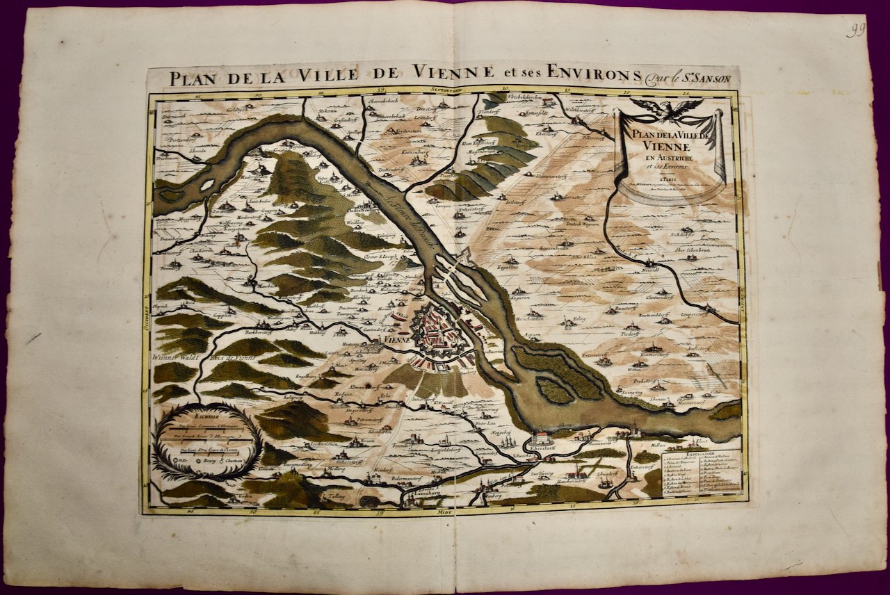
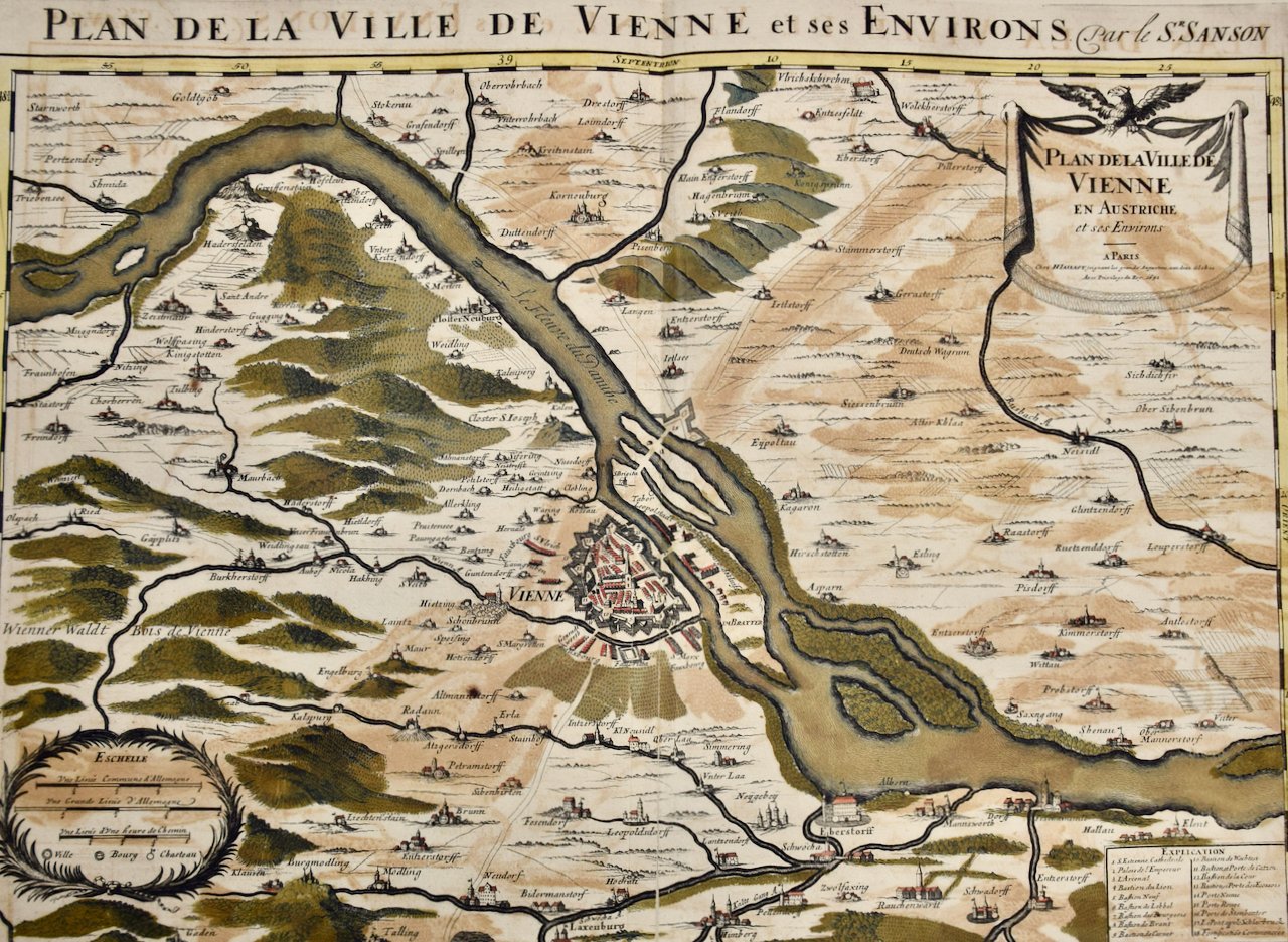
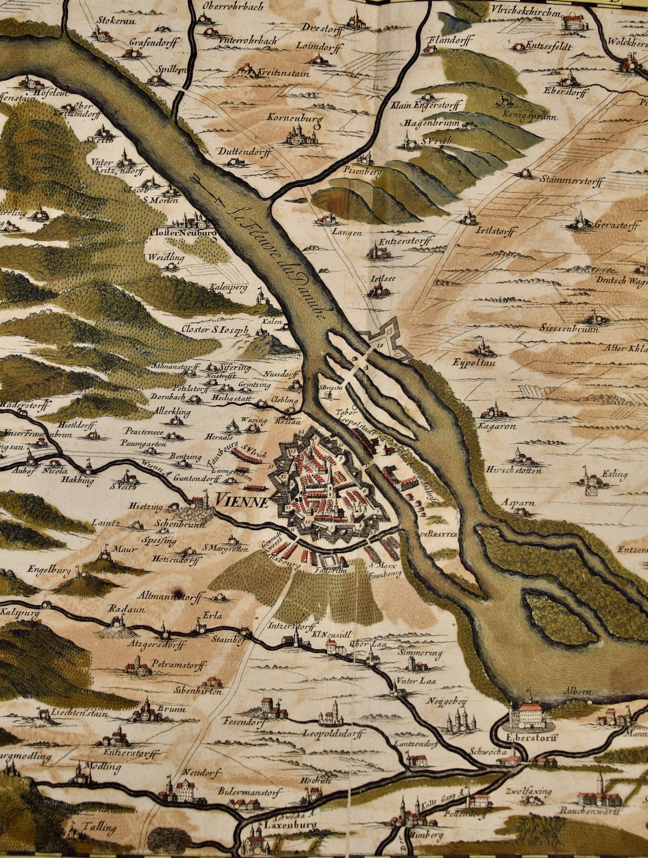
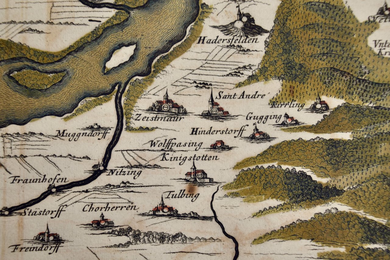
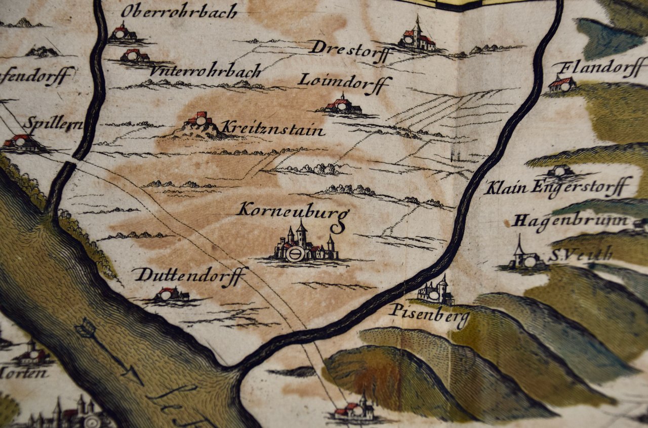
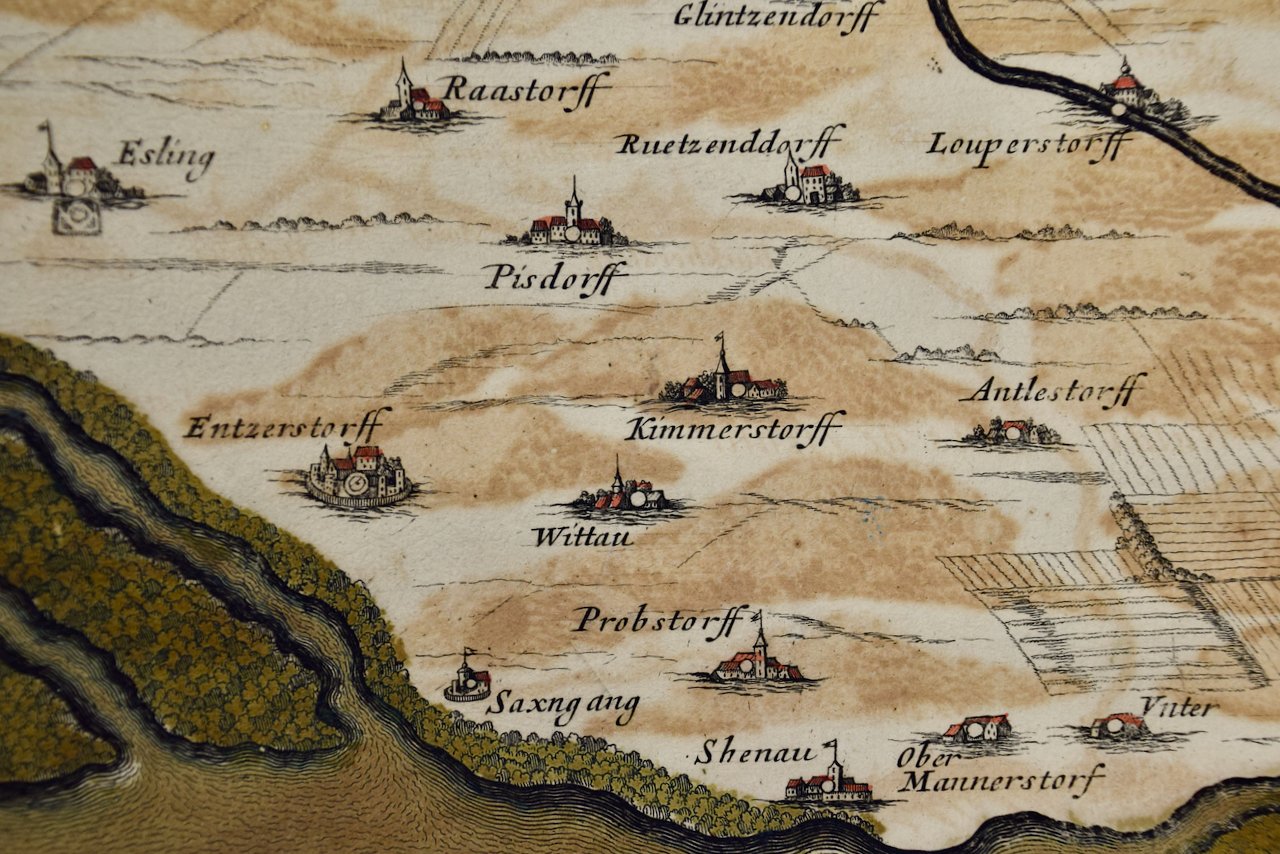
"Archiducatus Austriae inferioris" is a hand colored map of Austria created by Johann Baptist Homann (1663-1724) and published in Nuremberg, Germany in 1728 shortly after his death. It depicts the Archduchy of Lower Austria surrounded by Moravia, Bohemia, Styria and the Kingdom of Hungary. It includes Vienna and the course of the Danube River. The beautiful cartouche in the lower right depicts multiple figures, including putti and baskets of harvested crops and a cornucopia, representing the wealth and commerce of the region, as well as the coat of arms of Lower Austria

Creator: Johann Baptist Homann (1664 - 1724, German)

Creation Year: 1728

Dimensions: Height: 20.25 in (51.44 cm) Width: 23.63 in (60.03 cm)

Medium: Engraving

Condition: See description below.

Add To Cart

"Archiducatus Austriae inferioris" is a hand colored map of Austria created by Johann Baptist Homann (1663-1724) and published in Nuremberg, Germany in 1728 shortly after his death. It depicts the Archduchy of Lower Austria surrounded by Moravia, Bohemia, Styria and the Kingdom of Hungary. It includes Vienna and the course of the Danube River. The beautiful cartouche in the lower right depicts multiple figures, including putti and baskets of harvested crops and a cornucopia, representing the wealth and commerce of the region, as well as the coat of arms of Lower Austria

Creator: Johann Baptist Homann (1664 - 1724, German)

Creation Year: 1728

Dimensions: Height: 20.25 in (51.44 cm) Width: 23.63 in (60.03 cm)

Medium: Engraving

Condition: See description below.

There is mild discoloration along the vertical fold and some mild focal discoloration in the margins. It is otherwise in very good condition.

Johann Baptist Homann (1663-1724) was a mapmaker who founded the famous Homann Heirs publishing company. He lived his entire life in Bavaria, particularly in Nuremberg. Initially, Johann trained to become a priest before converting to Protestantism and working as a notary. In 1702, Johann founded a publishing house that specialized in engravings. The firm flourished, becoming the leading map publisher in Germany and an important entity in the European map market. In 1715, Johann was named Imperial Geographer to the Holy Roman Empire by Charles VI and made a member of the Prussian Academy of Sciences. Most importantly for his business, his reputation and contacts gained him imperial printing privileges which protected his publications and recommended him to customers. Johann is best known for this Grosser Atlas ueber die ganze Welt, or the Grand Atlas of the World, published in 1716.

Related Works

Roman Hills, Aqueducts and Roads: An Early 18th Century Map by Jan Goeree 4678A Desseine, Map of Rome.jpeg 4678B Desseine, Map of Rome.jpeg 4678C Desseine, Map of Rome.jpeg 4678D Desseine, Map of Rome.jpeg 4678E Desseine, Map of Rome.jpeg
Roman Hills, Aqueducts and Roads: An Early 18th Century Map by Jan Goeree
$575.00
Edinburgh, Scotland: An Original 17th C. Hand-Colored Engraved Sea Chart 3240A Captain Collins, _Edinburgh Firth_.jpg 3240B Captain Collins, _Edinburgh Firth_.jpg 3240C Captain Collins, _Edinburgh Firth_.jpg 3240D Captain Collins, _Edinburgh Firth_.jpg 3240E Captain Collins, _Edinburgh Firth_.jpg
Edinburgh, Scotland: An Original 17th C. Hand-Colored Engraved Sea Chart
$2,775.00
View of Meissen, Germany: A 16th Century Hand-colored Map by Braun & Hogenberg 4885A Braun & Hogenberg, %22Misena Hermun Duvorum Urbs%22 View of Meissen, Germany.jpeg 4885B Braun & Hogenberg, %22Misena Hermun Duvorum Urbs%22 View of Meissen, Germany.jpeg 4885C Braun & Hogenberg, %22Misena Hermun Duvorum Urbs%22 View of Meissen, Germany.jpeg 4885D Braun & Hogenberg, %22Misena Hermun Duvorum Urbs%22 View of Meissen, Germany.jpeg 4885E Braun & Hogenberg, %22Misena Hermun Duvorum Urbs%22 View of Meissen, Germany.jpeg 4885F Braun & Hogenberg, %22Misena Hermun Duvorum Urbs%22 View of Meissen, Germany.jpeg
View of Meissen, Germany: A 16th Century Hand-colored Map by Braun & Hogenberg
$975.00
1237 Sanson, Graeciae Antiquae.jpg 1237 Sanson, Graeciae Antiquae.jpg 1237 Sanson, Graeciae Antiquae.jpg 1237 Sanson, Graeciae Antiquae.jpg 1237 Sanson, Graeciae Antiquae.jpg 1237 Sanson, Graeciae Antiquae.jpg 1237 Sanson, Graeciae Antiquae.jpg 1237 Sanson, Graeciae Antiquae.jpg 1237 Sanson, Graeciae Antiquae.jpg
Greece, "Graeciae Antiquae" A 17th Century Hand-colored Map by Sanson
$1,575.00
Canterbury: An Original 16th C. Framed Hand-colored Map by Braun & Hogenberg 4638A Braun & Hogenburg, Cantuarbury, Map of Canterbury.jpeg 4638B Braun & Hogenburg, Cantuarbury, Map of Canterbury.jpeg 4638C Braun & Hogenburg, Cantuarbury, Map of Canterbury.jpeg 4638D Braun & Hogenburg, Cantuarbury, Map of Canterbury.jpeg 4638E Braun & Hogenburg, Cantuarbury, Map of Canterbury.jpeg 4638F Braun & Hogenburg, Cantuarbury, Map of Canterbury.jpeg 4638H Braun & Hogenburg, Cantuarbury, Map of Canterbury.jpeg 4638I Braun & Hogenburg, Cantuarbury, Map of Canterbury.jpeg
Canterbury: An Original 16th C. Framed Hand-colored Map by Braun & Hogenberg
$2,375.00

Prints
Maps
Books
Featured Items
Recent Acquisitions

Contact
Our Story
Sell Your Items
Subscribe to our newsletter!

FAQs
Terms and Conditions