Hand-Colored 18th Century Homann Map of the Black Sea, Turkey and Asia Minor

$875.00

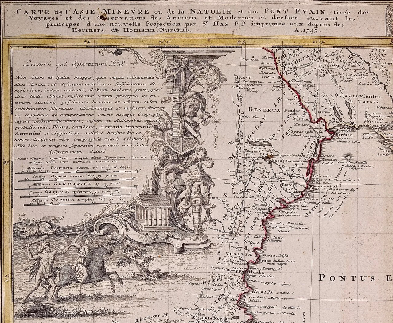
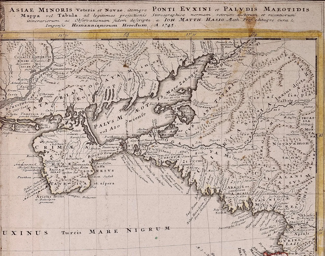
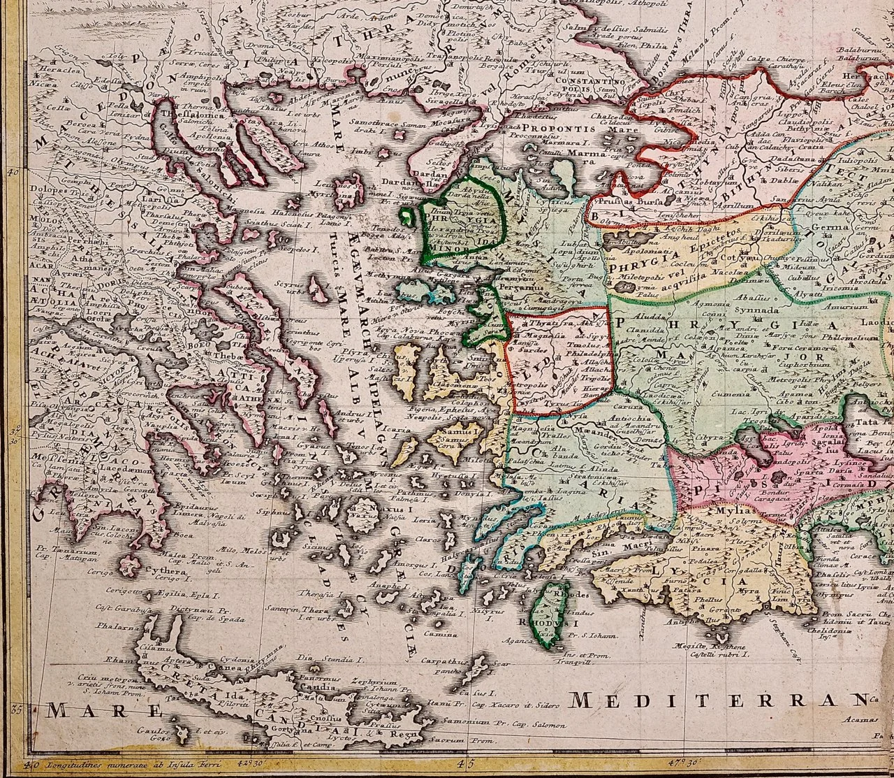
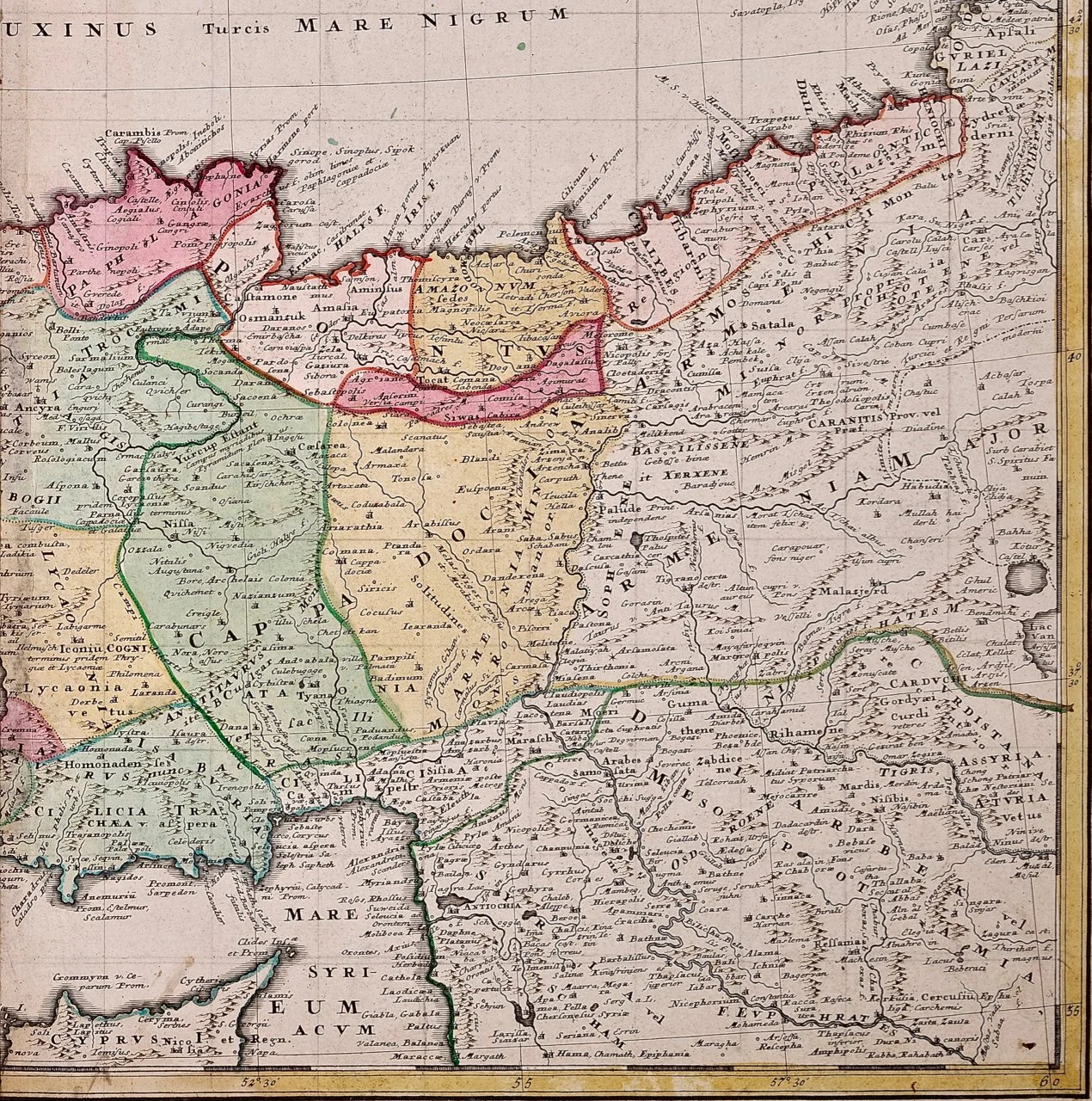
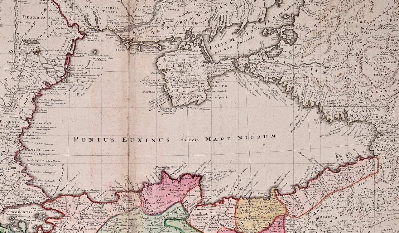
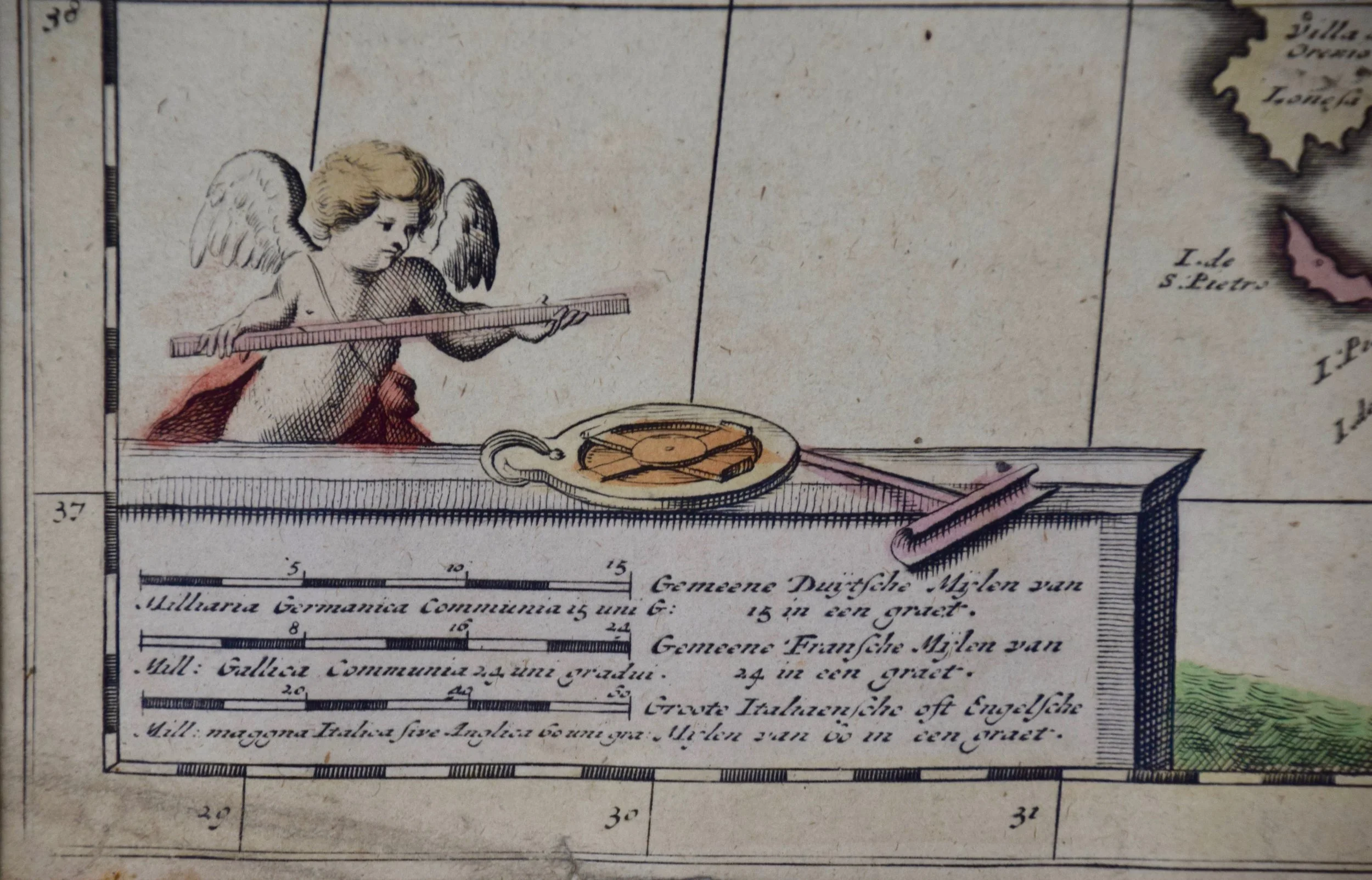
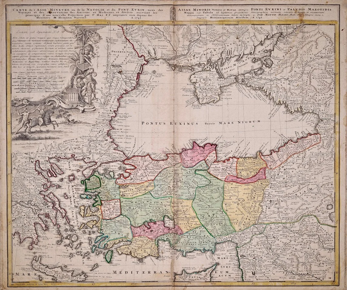
An attractive original early 18th century hand-colored map of the Black Sea and Turkey entitled "Carte de L'Asie Minevre ou de la Natolie et du Pont Evxin Tiree des Voyages et des Observations de Anciens et Modernes" (Map of Asia Miner or Natolia and the Pont Evxin Tiree from Voyages and Observations of Ancients and Moderns) by Johann Baptist Homann from his "Atlas Novus Terrarum", published in Nuremberg, Germany in 1728. This detailed map depicts Turkey and the area surrounding the Black Sea and the northern portions of the Mediterranean Sea, including parts of Greece, Macedonia, Crete, Romania, Russia, Ukraine, Crimea Armenia and Georgia. Turkey is shown as a series of regions named Caria, Lydia, Lycia, Pisidia, Pamphyllia, Cililicia, Cappa Docia, Phrygia Major, Phrygia Epictetos, Thynia, Mysia, Phrygia Minor, and Paphlagonia. An elaborate cartouche in the left upper corner is embellished by two ancient male and female warriors in combat, a temple, a bust of a heroic appearing man wearing a helmut surrounded by an arrow, a sword, an axe and a shield, as well as ancient architectural objects and symbols.

Creator: Johann Baptist Homann (1664 - 1724, German)

Year of Manufacture: 1710

Dimensions: Height: 20 in (50.8 cm)
Width: 23.63 in (60.03 cm)
Depth: 0.07 in (1.78 mm)

Medium: Engraving

Condition: See description below.

Reference #: 1292

An attractive original early 18th century hand-colored map of the Black Sea and Turkey entitled "Carte de L'Asie Minevre ou de la Natolie et du Pont Evxin Tiree des Voyages et des Observations de Anciens et Modernes" (Map of Asia Miner or Natolia and the Pont Evxin Tiree from Voyages and Observations of Ancients and Moderns) by Johann Baptist Homann from his "Atlas Novus Terrarum", published in Nuremberg, Germany in 1728. This detailed map depicts Turkey and the area surrounding the Black Sea and the northern portions of the Mediterranean Sea, including parts of Greece, Macedonia, Crete, Romania, Russia, Ukraine, Crimea Armenia and Georgia. Turkey is shown as a series of regions named Caria, Lydia, Lycia, Pisidia, Pamphyllia, Cililicia, Cappa Docia, Phrygia Major, Phrygia Epictetos, Thynia, Mysia, Phrygia Minor, and Paphlagonia. An elaborate cartouche in the left upper corner is embellished by two ancient male and female warriors in combat, a temple, a bust of a heroic appearing man wearing a helmut surrounded by an arrow, a sword, an axe and a shield, as well as ancient architectural objects and symbols.

Creator: Johann Baptist Homann (1664 - 1724, German)

Year of Manufacture: 1710

Dimensions: Height: 20 in (50.8 cm)
Width: 23.63 in (60.03 cm)
Depth: 0.07 in (1.78 mm)

Medium: Engraving

Condition: See description below.

Reference #: 1292

There is a central horizontal fold as issued. There are occasional small faint spots but the map is otherwise in very good condition.

Johann Baptist Homann (1663-1724) was a mapmaker who founded the famous Homann Heirs publishing company. He lived his entire life in Bavaria, particularly in Nuremberg. Initially, Johann trained to become a priest before converting to Protestantism and working as a notary. In 1702, Johann founded a publishing house that specialized in engravings. The firm flourished, becoming the leading map publisher in Germany and an important entity in the European map market. In 1715, Johann was named Imperial Geographer to the Holy Roman Empire by Charles VI and made a member of the Prussian Academy of Sciences. Most importantly for his business, his reputation and contacts gained him imperial printing privileges which protected his publications and recommended him to customers. Johann is best known for this Grosser Atlas ueber die ganze Welt, or the Grand Atlas of the World, published in 1716.