18th Century Hand-Colored Homann Map of Germany, Including Frankfurt and Berlin

$775.00

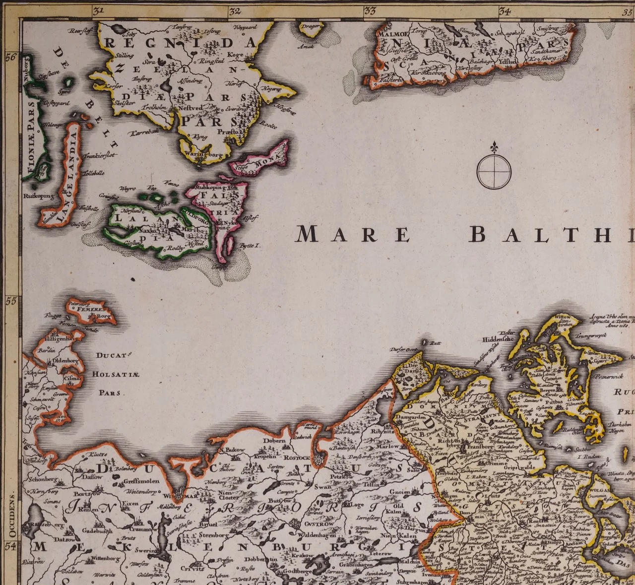
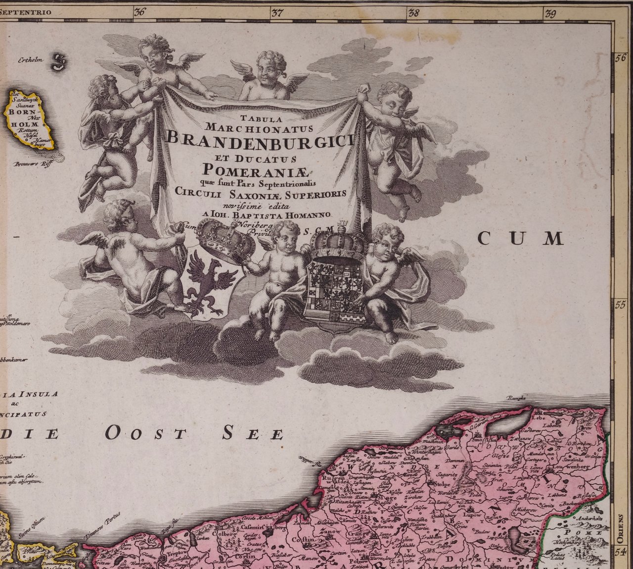
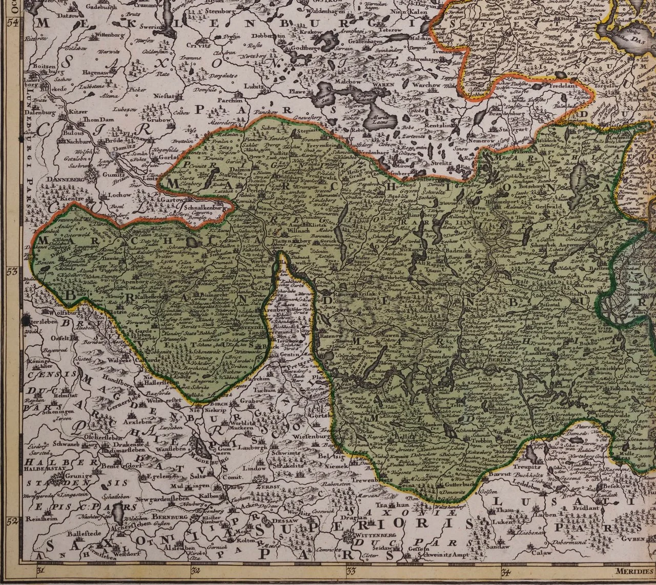
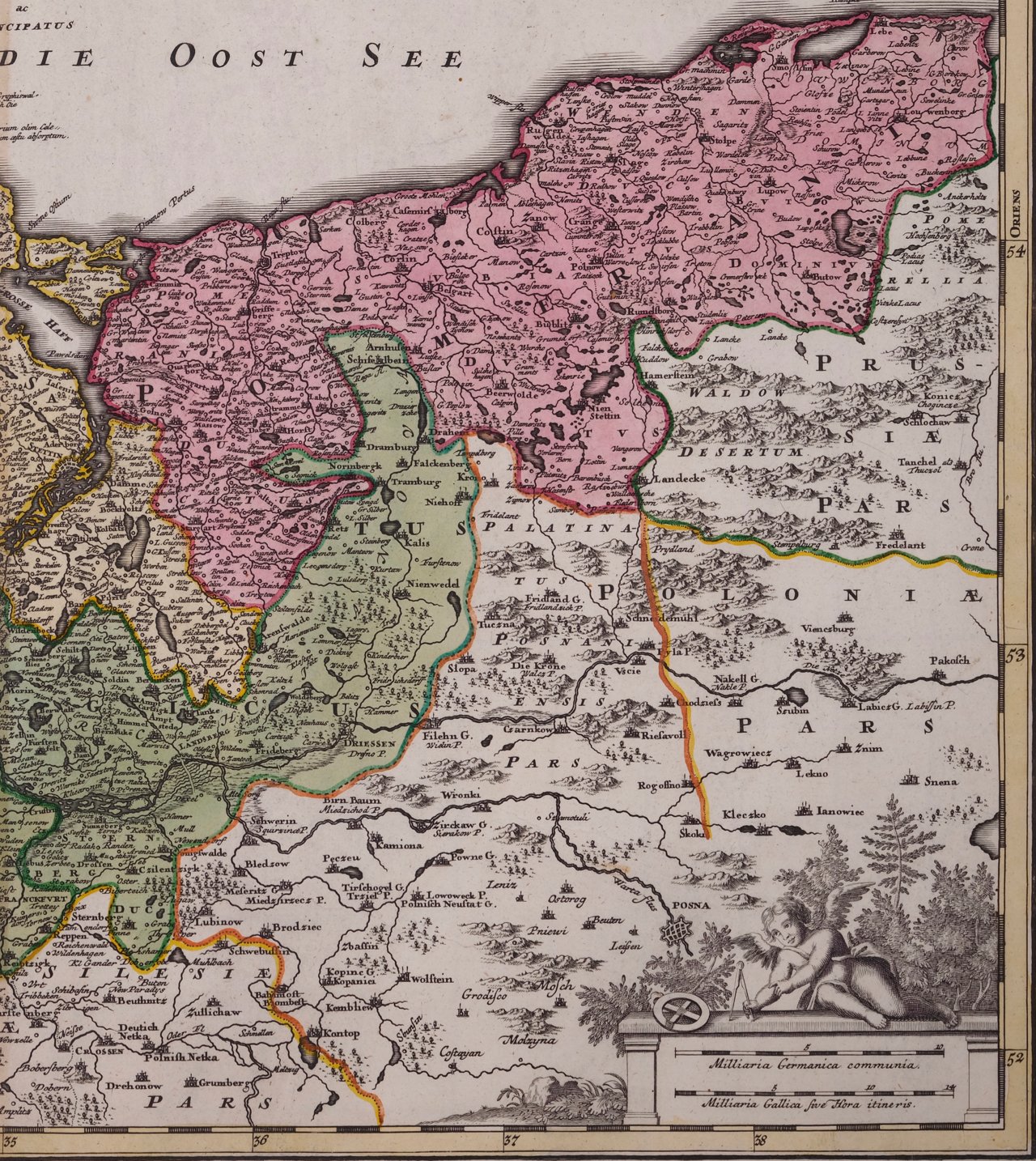
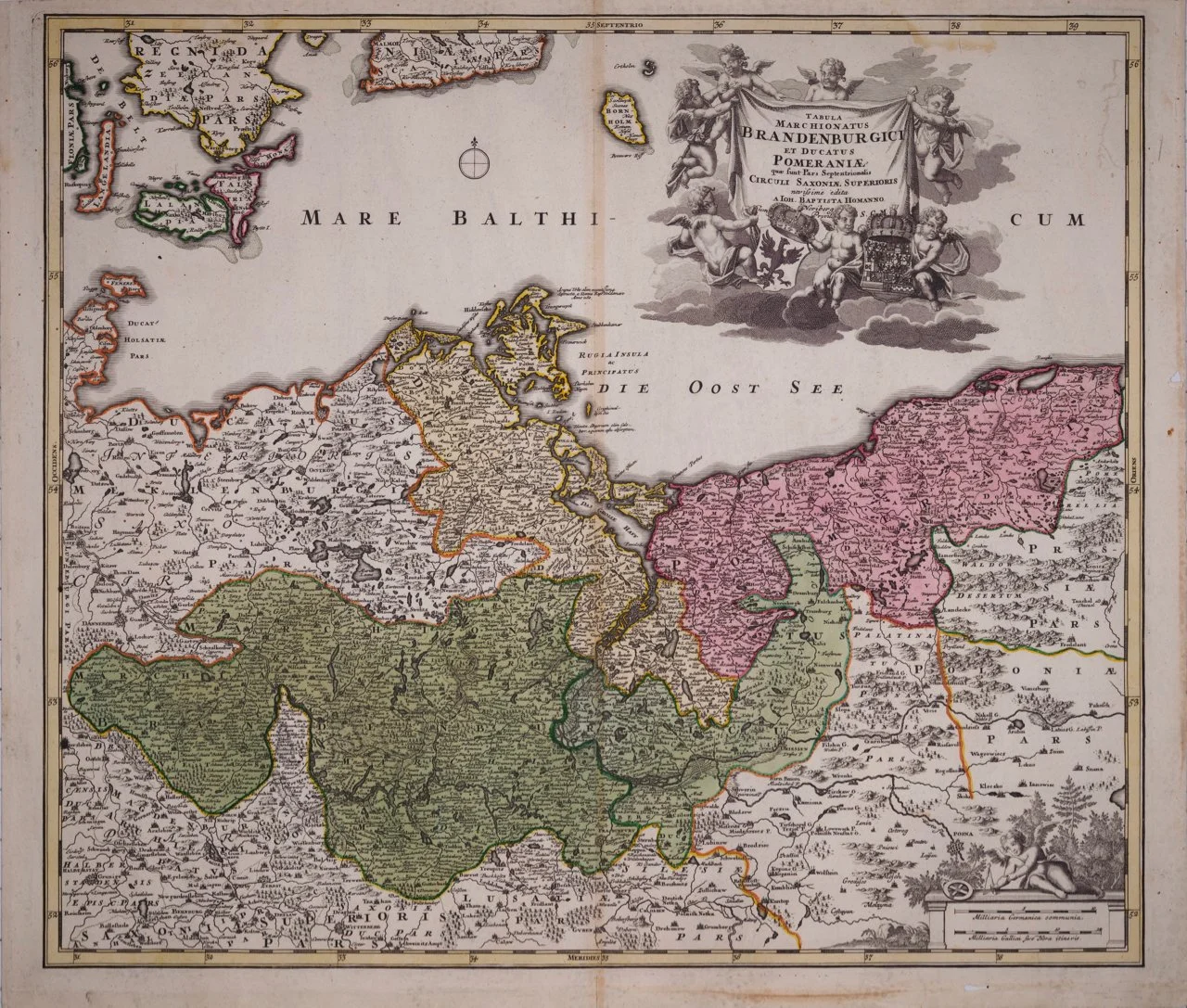
An 18th century hand-colored map entitled "Tabula Marchionatus Brandenburgici et Ducatus Pomeraniae quae sunt Pars Septentrionalis Circuli Saxoniae Superioris" by Johann Baptist Homann (1663-1724), published in Nuremberg, Germany initially in 1720 in his 'Grosser Atlas' and again in 1728, shortly after his death, in Homann Heirs’ 'Maior Atlas Scholasticus'. The map depicts the Brandenburg and Pomerania regions of Germany, including the cities of Frankfurt, Brandenburg and Berlin. It also includes parts of Denmark and much of Poland. The title cartouche in the upper right quadrant features cherubs and armorial shields for both Brandenburg and Pomerania. There is a legend in the lower right quadrant.

Creator: Johann Baptist Homann (1664 - 1724, German)

Creation Year: 1728

Dimensions: Height: 20.25 in (51.44 cm)
Width: 23.5 in (59.69 cm)

Medium: Engraving

Condition: See description below.

Reference #: 1287

An 18th century hand-colored map entitled "Tabula Marchionatus Brandenburgici et Ducatus Pomeraniae quae sunt Pars Septentrionalis Circuli Saxoniae Superioris" by Johann Baptist Homann (1663-1724), published in Nuremberg, Germany initially in 1720 in his 'Grosser Atlas' and again in 1728, shortly after his death, in Homann Heirs’ 'Maior Atlas Scholasticus'. The map depicts the Brandenburg and Pomerania regions of Germany, including the cities of Frankfurt, Brandenburg and Berlin. It also includes parts of Denmark and much of Poland. The title cartouche in the upper right quadrant features cherubs and armorial shields for both Brandenburg and Pomerania. There is a legend in the lower right quadrant.

Creator: Johann Baptist Homann (1664 - 1724, German)

Creation Year: 1728

Dimensions: Height: 20.25 in (51.44 cm)
Width: 23.5 in (59.69 cm)

Medium: Engraving

Condition: See description below.

Reference #: 1287

There is a central vertical fold as issued. There is a small closed tear in the right margin, a small area of paper loss in the lower margin on the right, a small faint area of discoloration in the right upper periphery and mild discoloration in the lower margin. The map is otherwise in very good condition.

Johann Baptist Homann (1663-1724) was a mapmaker who founded the famous Homann Heirs publishing company. He lived his entire life in Bavaria, particularly in Nuremberg. Initially, Johann trained to become a priest before converting to Protestantism and working as a notary. In 1702, Johann founded a publishing house that specialized in engravings. The firm flourished, becoming the leading map publisher in Germany and an important entity in the European map market. In 1715, Johann was named Imperial Geographer to the Holy Roman Empire by Charles VI and made a member of the Prussian Academy of Sciences. Most importantly for his business, his reputation and contacts gained him imperial printing privileges which protected his publications and recommended him to customers. Johann is best known for this Grosser Atlas ueber die ganze Welt, or the Grand Atlas of the World, published in 1716.