 Image 1 of 7
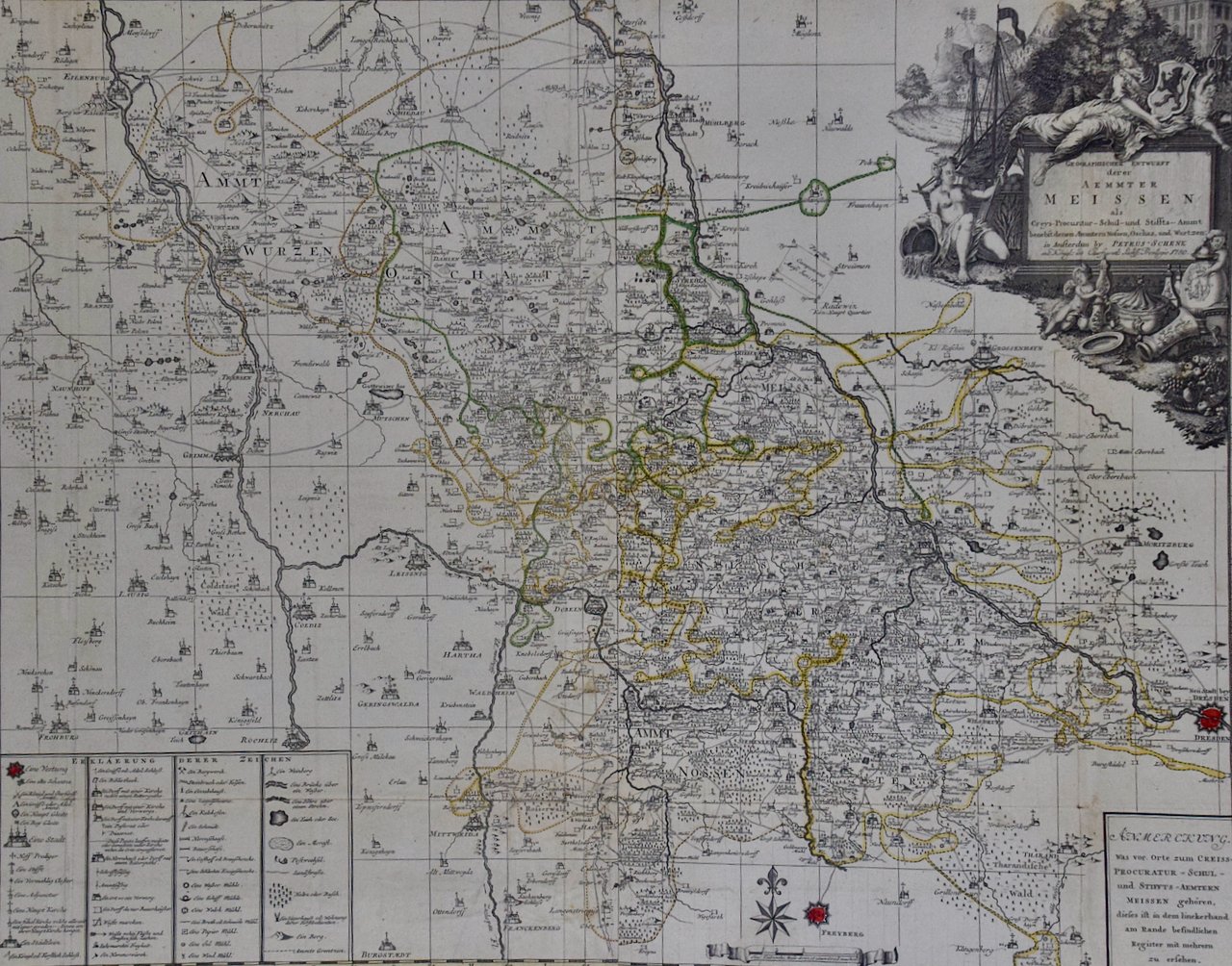 Image 2 of 7
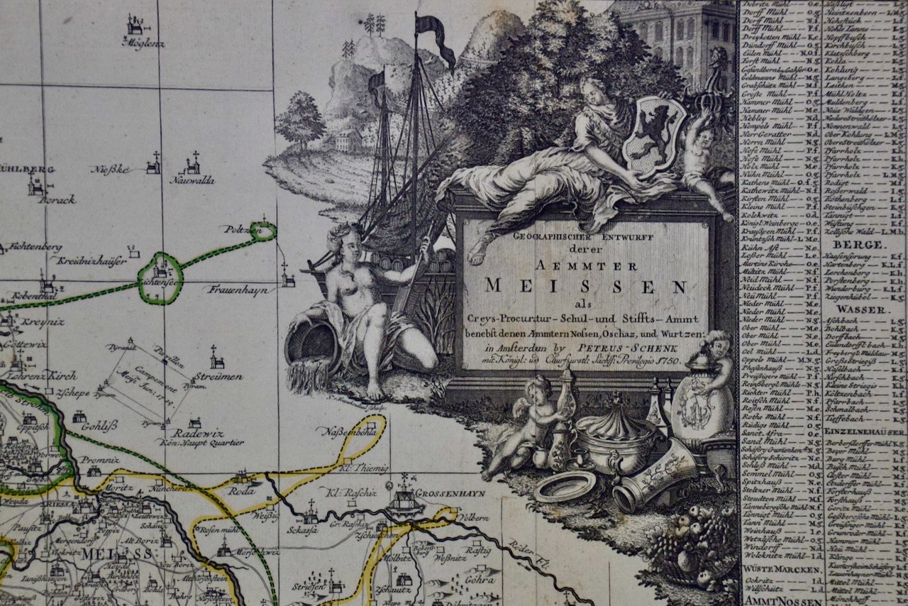 Image 3 of 7
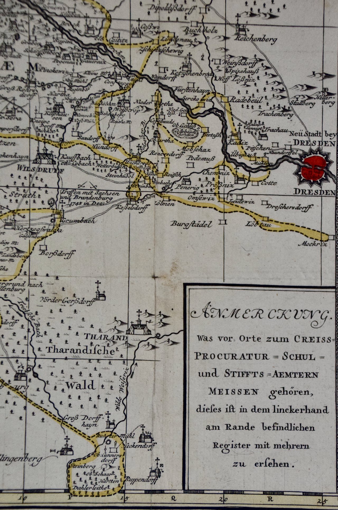 Image 4 of 7
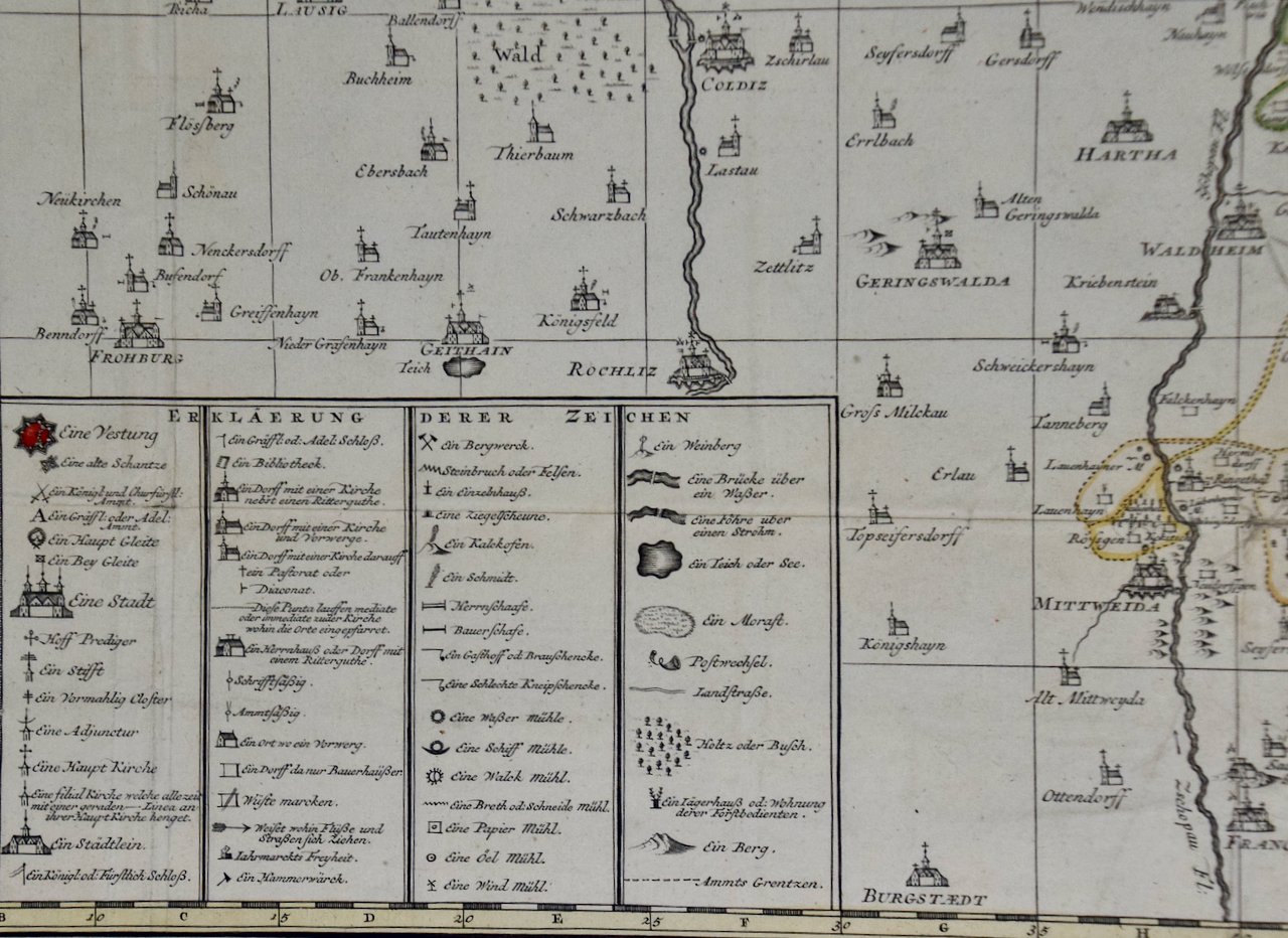 Image 5 of 7
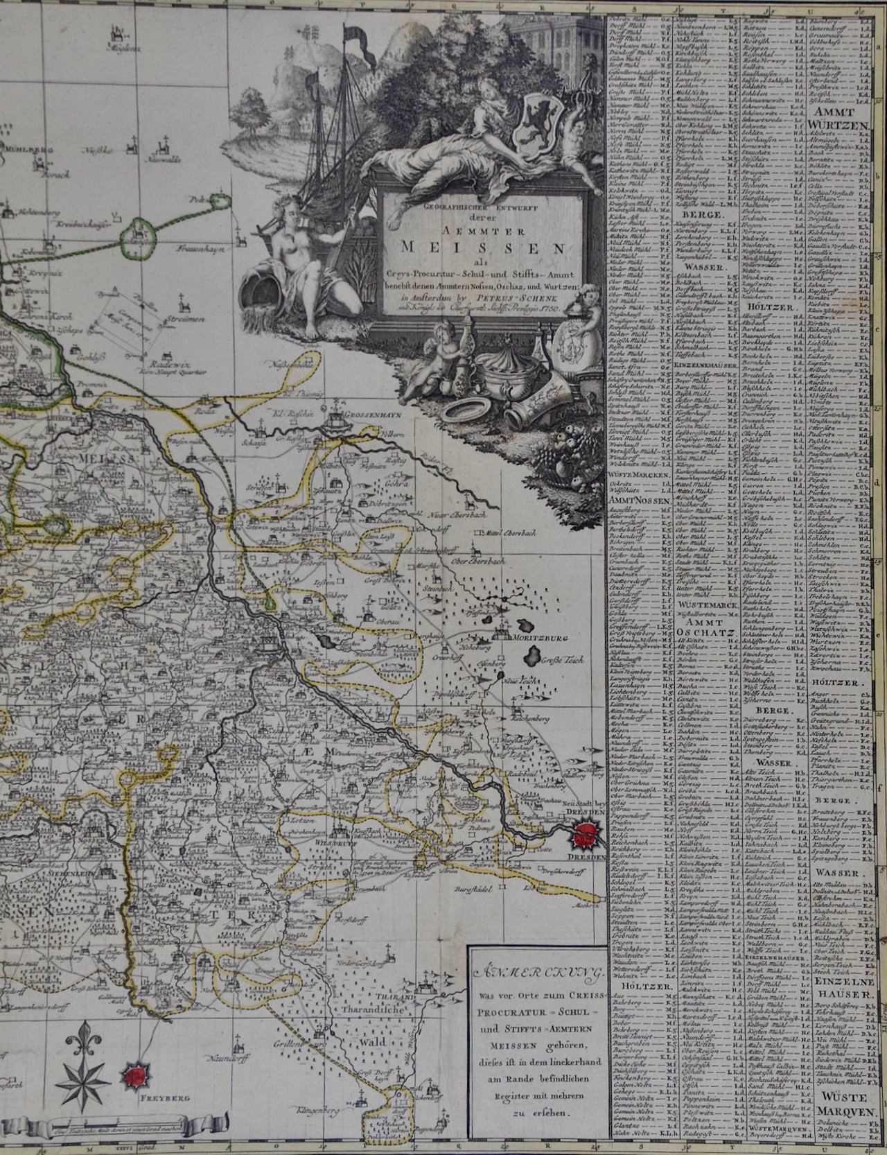 Image 6 of 7
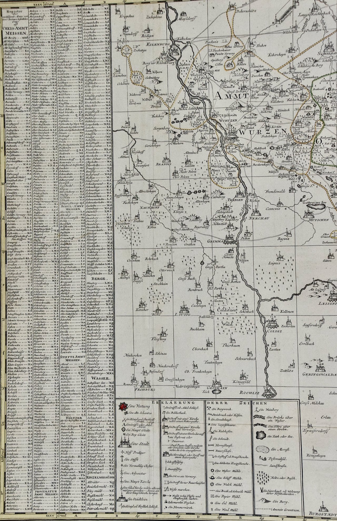 Image 7 of 7
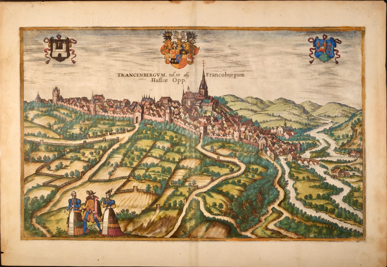
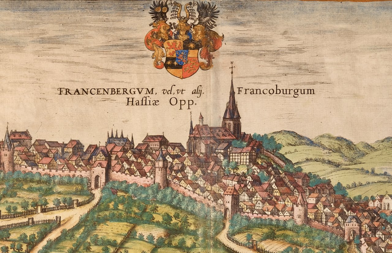
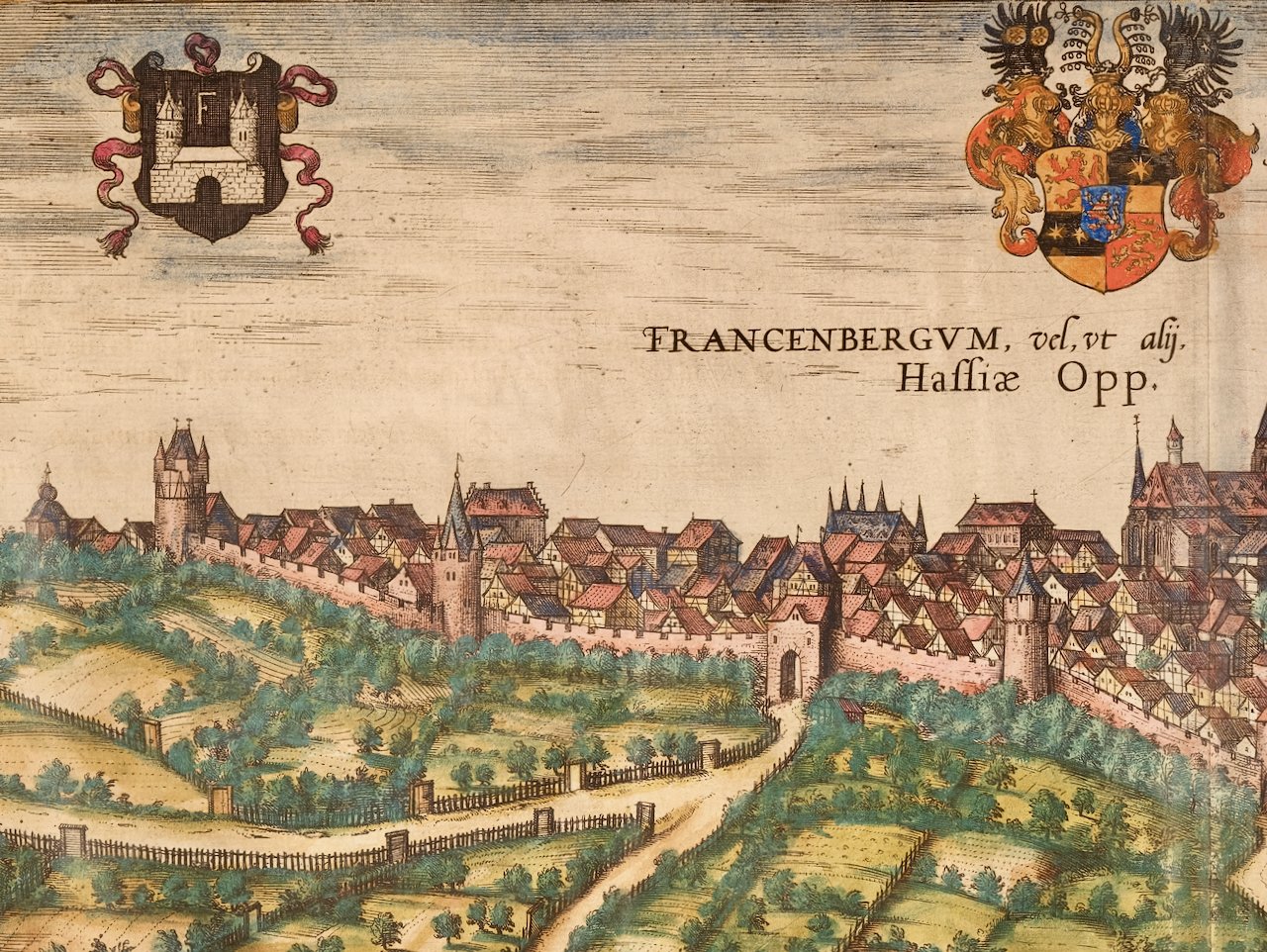
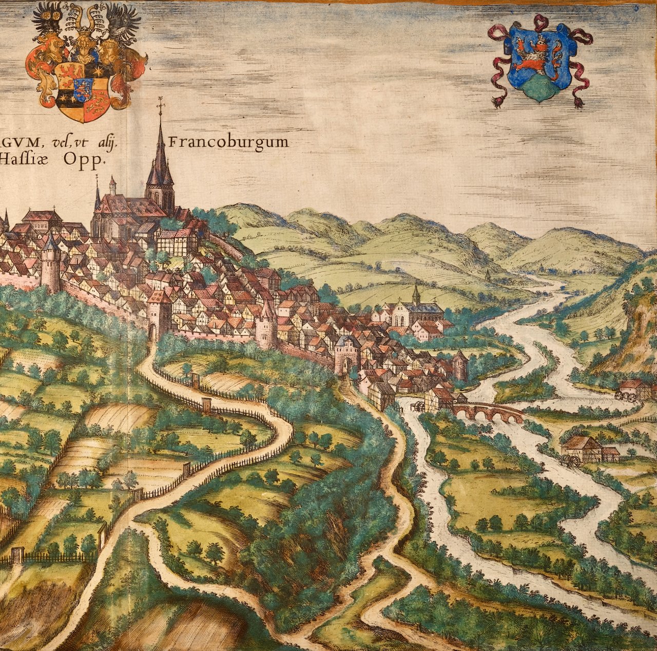
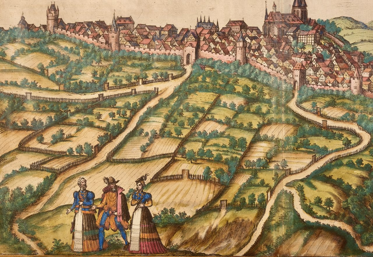
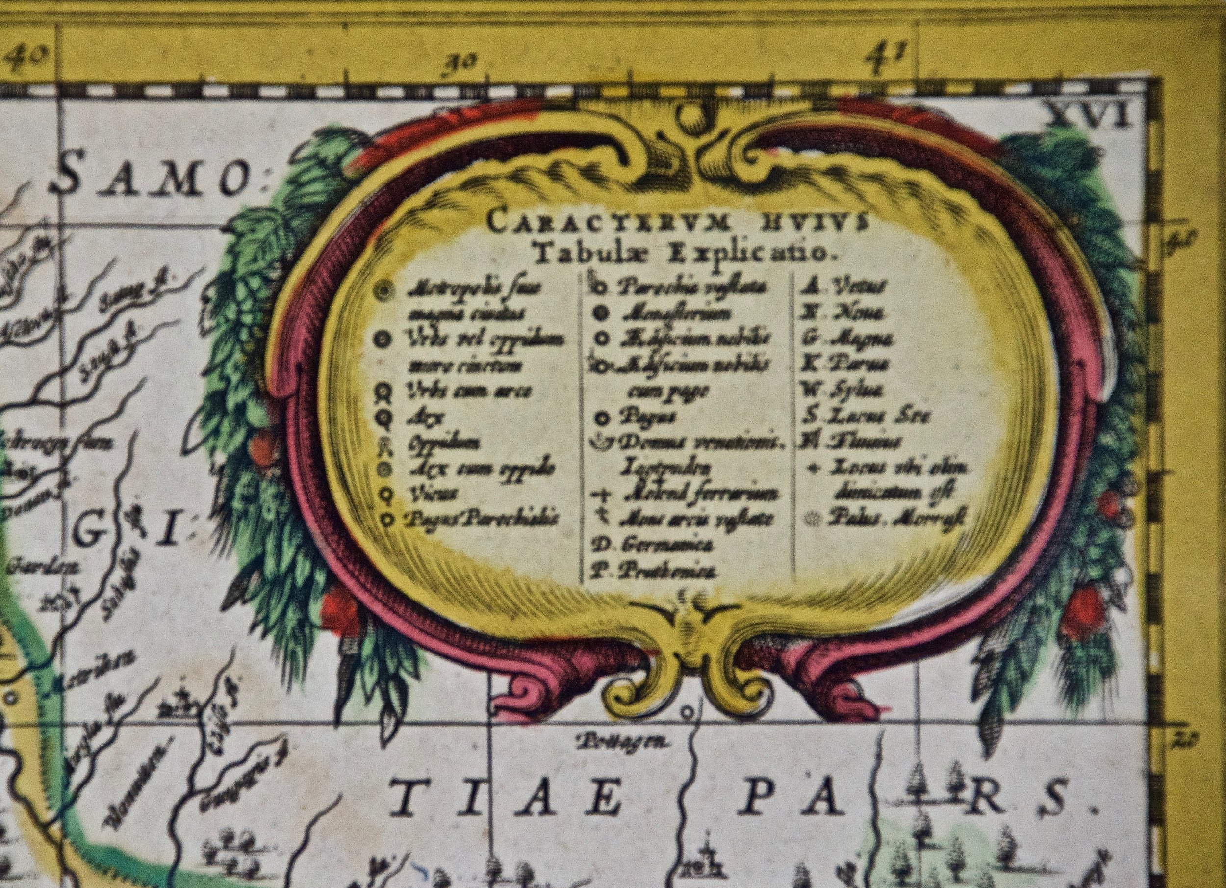
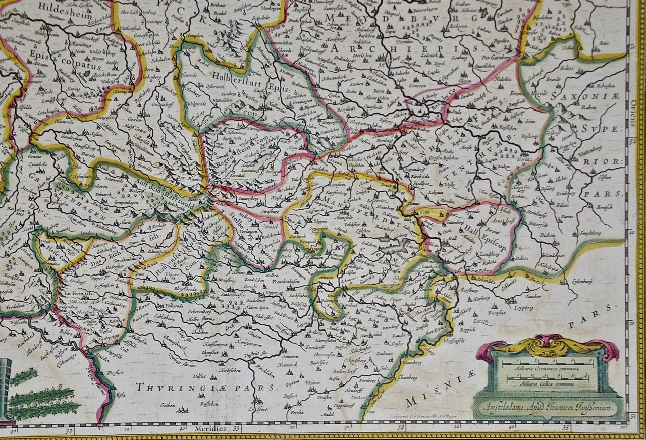
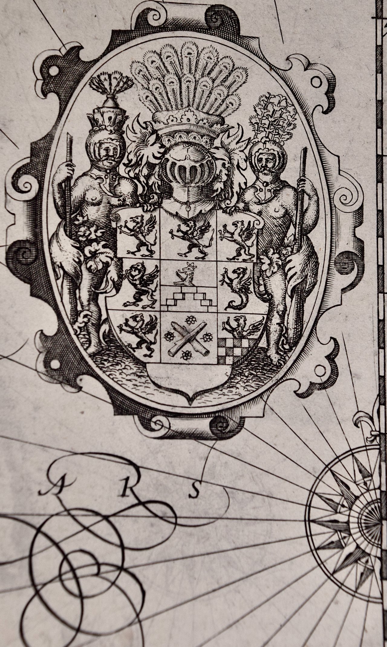
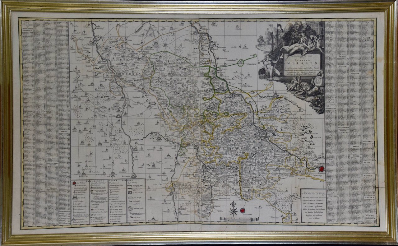
This large framed copperplate 18th century map of Meissen, Germany was printed on two sheets joined in middle. It is hand-colored in outline. The map is presented in an antiqued silver & gold colored wood frame. The frame measures 26 1/8' in height by 42 1/8' in width and 0.75 in depth. There are three horizontal folds as issued. There is a short oblique tear in the right lower margin & lower map, a short separation in the right margin of the lowest horizontal fold and faint discoloration in the right upper margin. The map is otherwise in very good condition.
Peter (Petrus, Pieter) Schenk, the Younger (1693-1775) was a Dutch engraver and map publisher initially from Amsterdam, but active in Leipzig, Germany. He was the son of the engraver and map publisher Peter Schenk, the Elder, who owned shops in Amsterdam and Leipzig. He was partnered with Gerard Valk. Valk and Schenk became well-known for their globe production and the re-issue of 17th century celestial maps by Andreas Cellarius. Peter Schenk, the Younger inherited his father's business in Leipzig. His two brothers were also engravers, as was his daughter, who married the son of Gerard Valk.