England, Scotland & Ireland: A Hand Colored Map of Great Britain by Tirion

$875.00

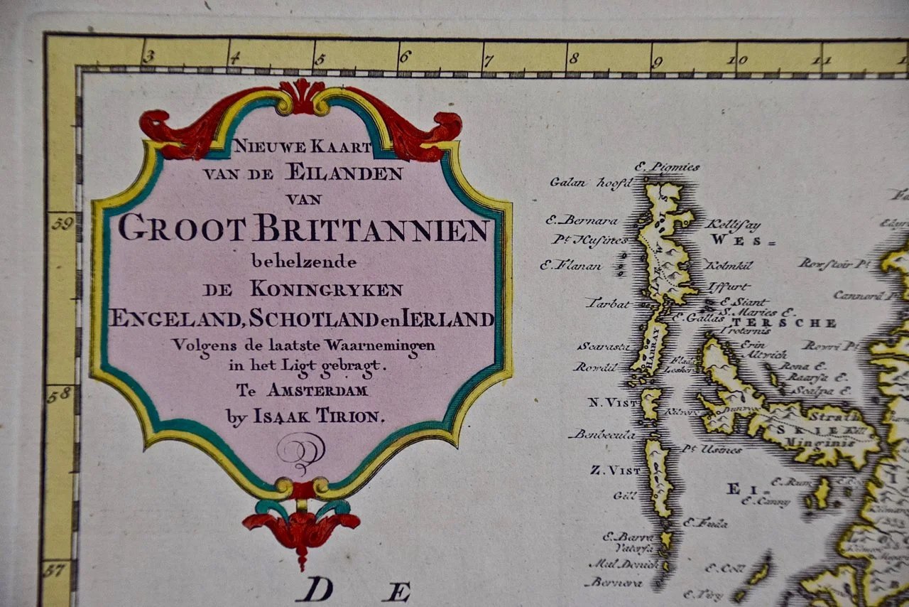
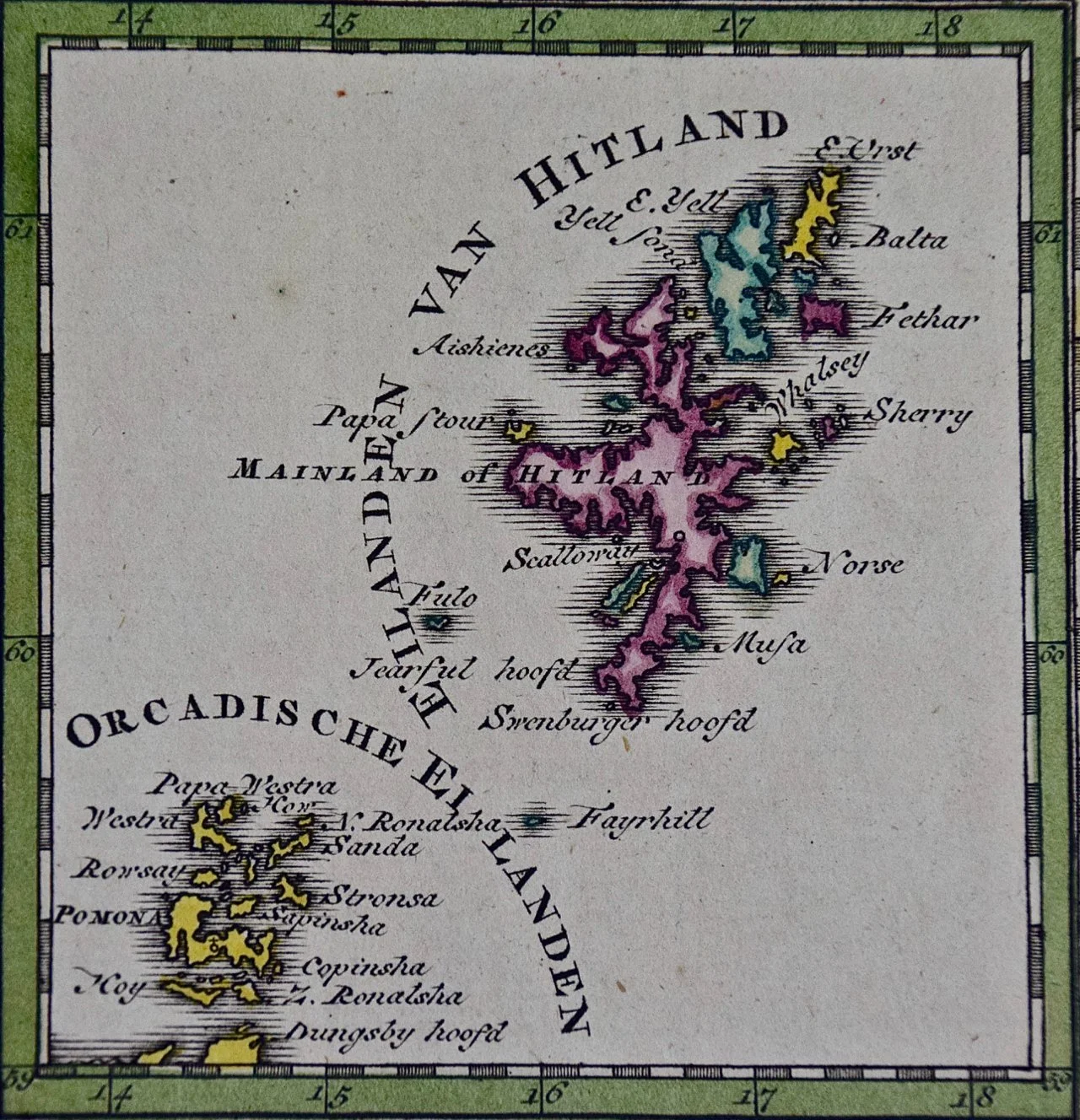
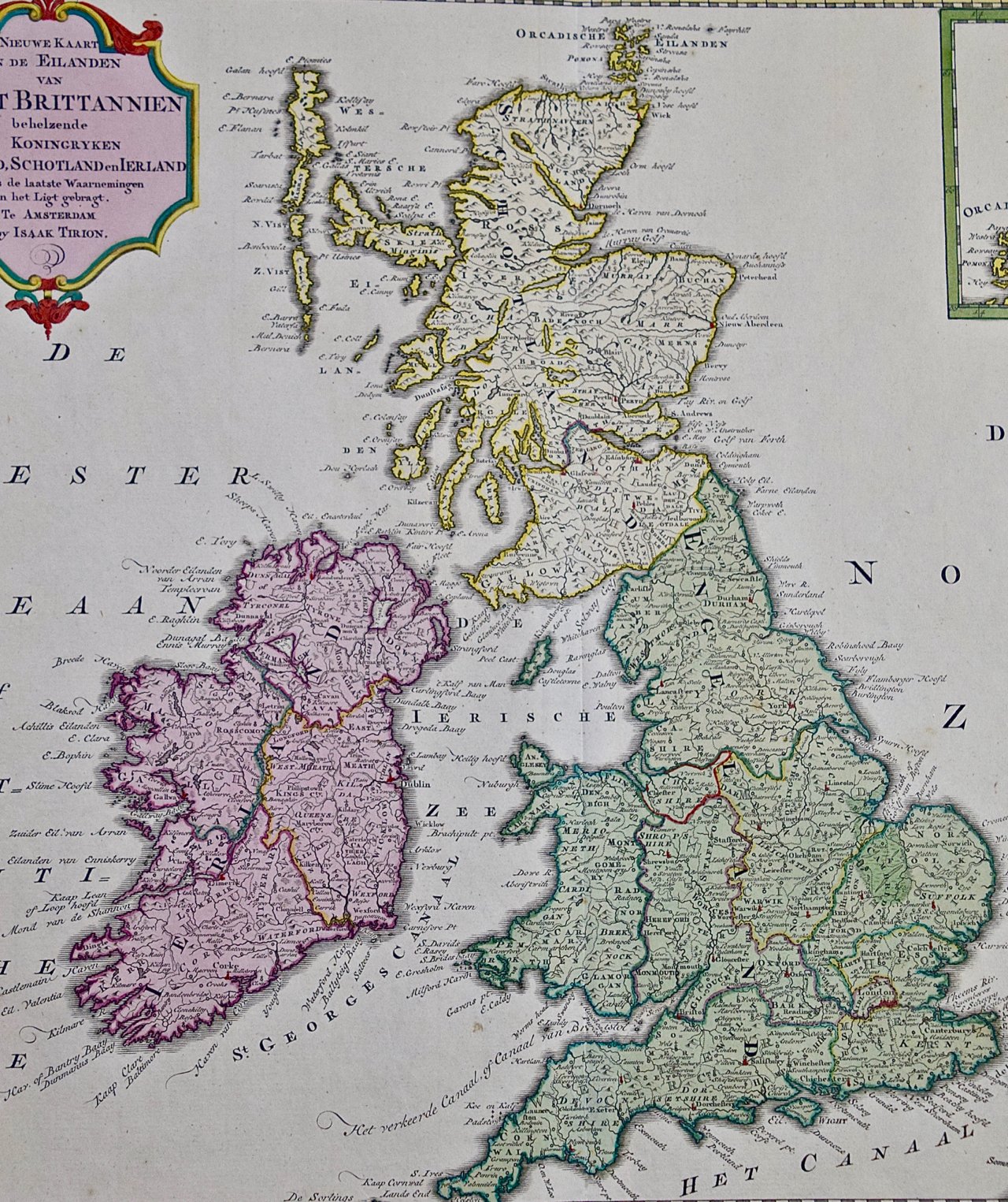
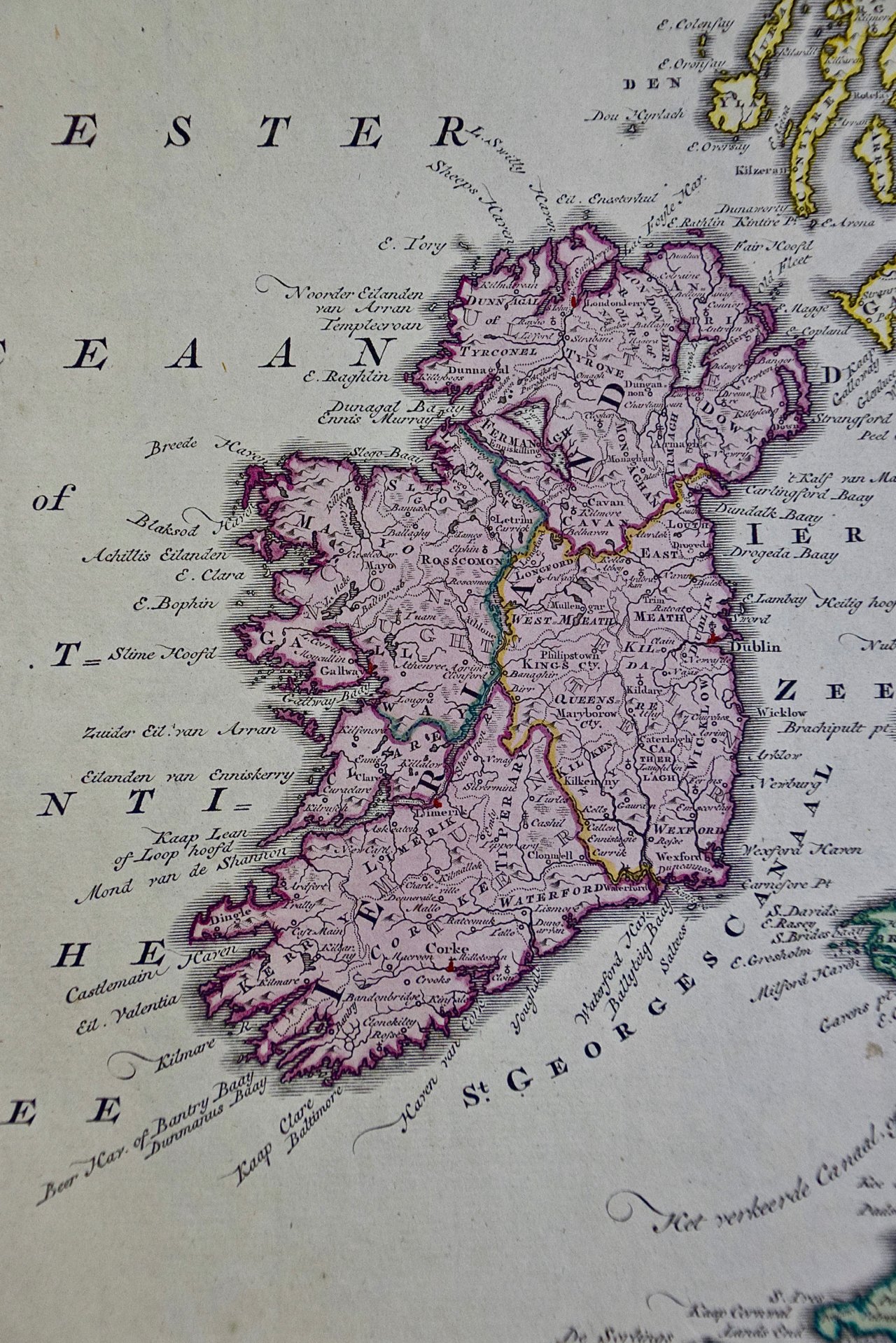
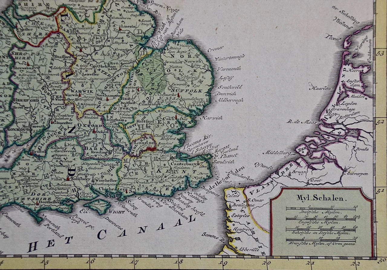
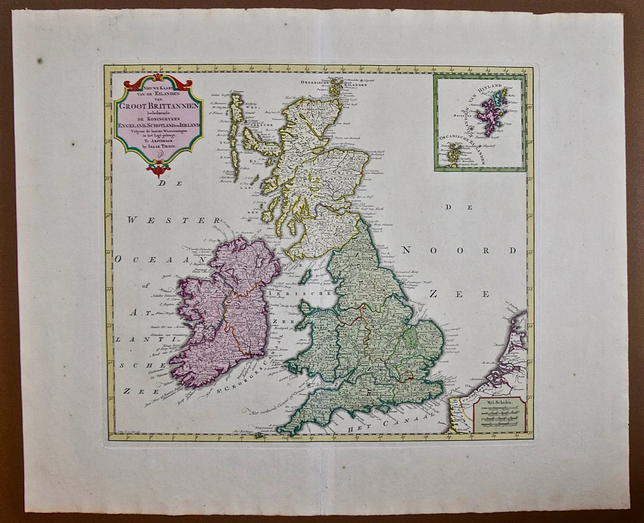
This is a hand-colored double page copperplate map of Great Britain entitled "Nieuwe Kaart van de Eilanden van Groot Brittannien Behelzende de Koningryken Engeland, Schotland en Ierland" by Isaac Tirion from his atlas 'Nieuwe en Beknopte Hand Atlas von...steden van Europe...Nederlanden en eenige Kolonien; Amsterdam', published in Amsterdam in 1760. It includes England, Scotland, Ireland and the a portion of the north coast of Holland and Belgium. There is an inset in the right upper corner depicting the Orkney and Shetland islands. A strapwork cartouche in the left upper corner includes the title, cartographer and the location of publication.

Creator: Isaak Tirion

Creation Year: 1754

Dimensions: Height: 17 in (43.18 cm)
Width: 20.75 in (52.71 cm)
Depth: 0.07 in (1.78 mm)

Medium: Engraving

Condition: See description below.

Reference #: 1652

This is a hand-colored double page copperplate map of Great Britain entitled "Nieuwe Kaart van de Eilanden van Groot Brittannien Behelzende de Koningryken Engeland, Schotland en Ierland" by Isaac Tirion from his atlas 'Nieuwe en Beknopte Hand Atlas von...steden van Europe...Nederlanden en eenige Kolonien; Amsterdam', published in Amsterdam in 1760. It includes England, Scotland, Ireland and the a portion of the north coast of Holland and Belgium. There is an inset in the right upper corner depicting the Orkney and Shetland islands. A strapwork cartouche in the left upper corner includes the title, cartographer and the location of publication.

Creator: Isaak Tirion

Creation Year: 1754

Dimensions: Height: 17 in (43.18 cm)
Width: 20.75 in (52.71 cm)
Depth: 0.07 in (1.78 mm)

Medium: Engraving

Condition: See description below.

Reference #: 1652

The map is printed in laid chain-linked paper with a large fleur-de-lys and crown watermark on the right and another lettered watermark on the left. There is a central vertical fold, as issued. The map has very wide full margins. There are a few small spots in the margins, but the map is otherwise in excellent condition.

Isaac Tirion (1705-1765) was an 18th century Dutch printer, publisher and bookseller. He produced several map atlases of Europe and of Dutch cities and towns. His maps were often based on those of Guillaume De L'Isle.